Weather
More Snowstorms Incoming To Philly Area This Week: Timing, Predictions
A busy winter continues in southeastern Pennsylvania. Here's what to expect for the coming week:


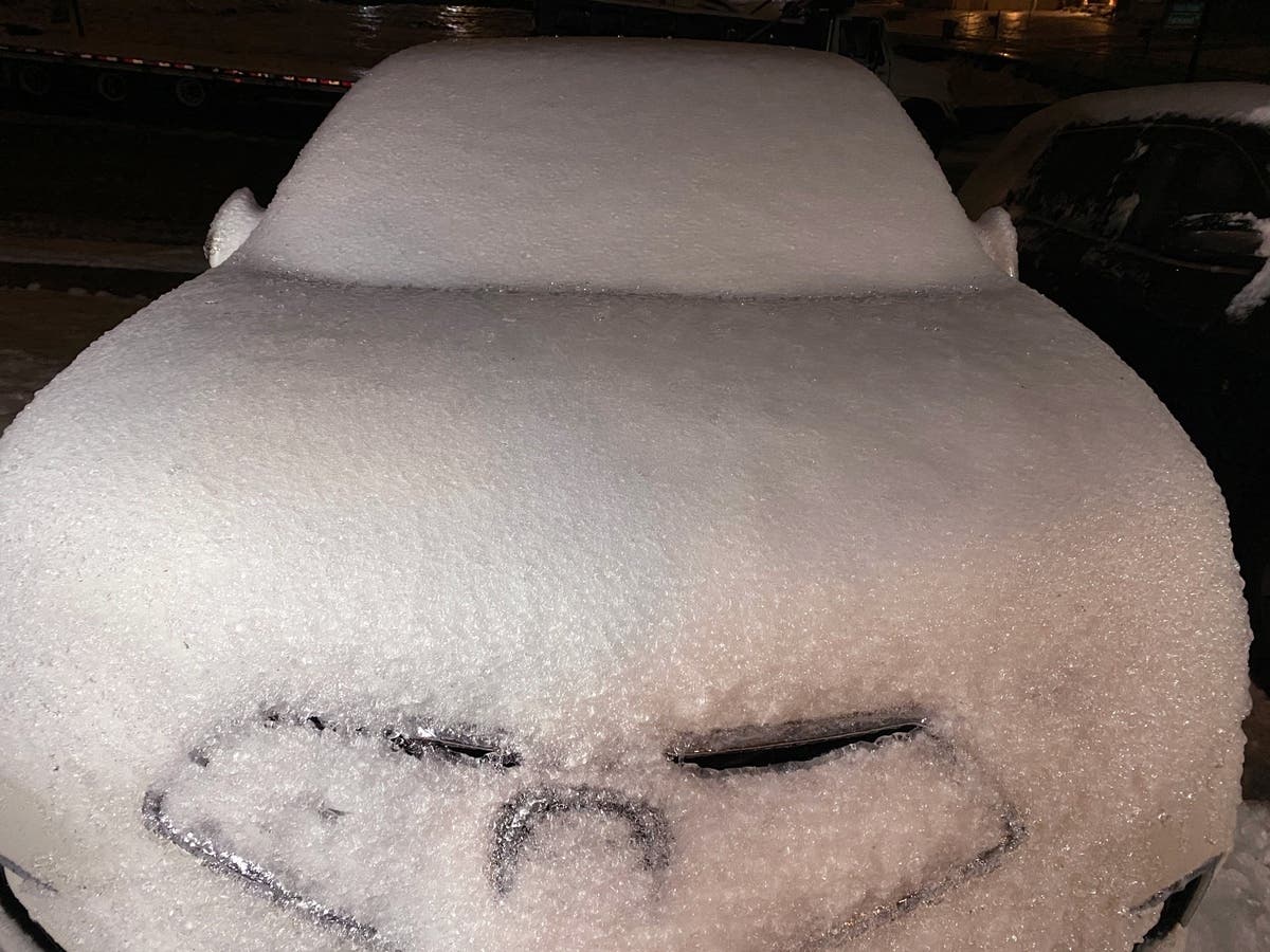
PENNSYLVANIA — As southeastern Pennsylvania digs itself out from the most recent snowstorm, which dumped anywhere from 1.5 to 4 inches across much of the Philadelphia area, two more storm fronts are incoming this week.
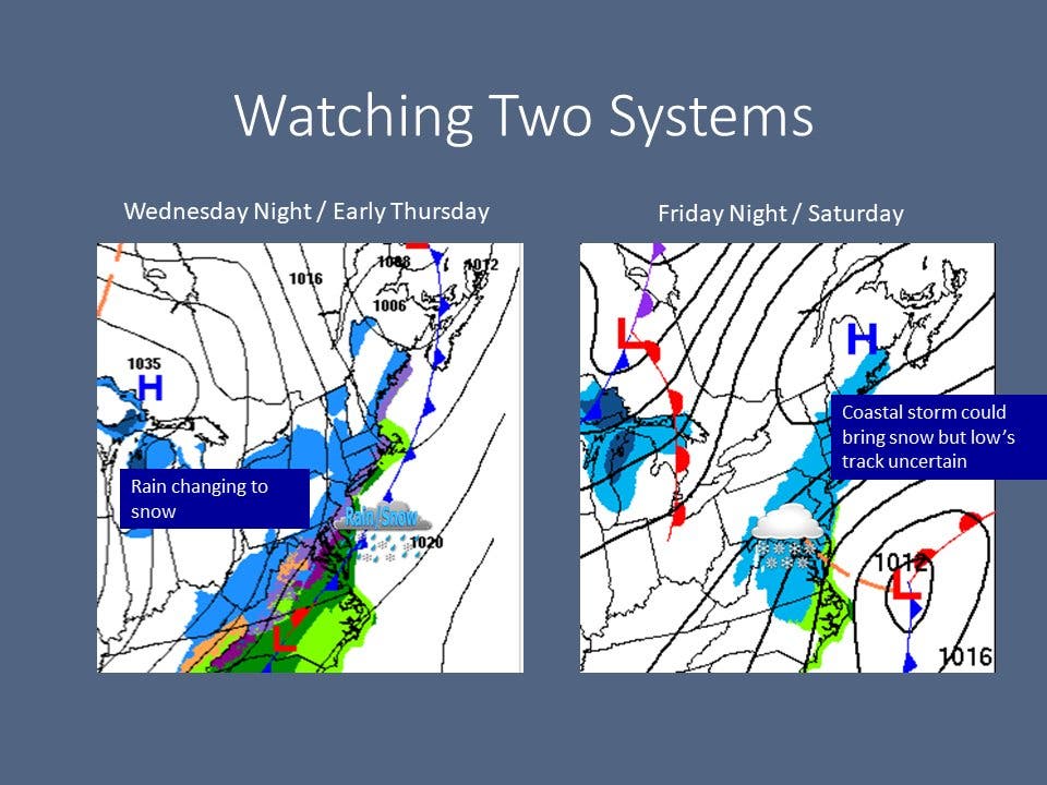
The first, and weaker, storm looks to arrive late evening Wednesday and will probably begin as a rainstorm, according to the National Weather Service.
With a low of around 33 Wednesday night dropping even further early Thursday, however, the rain will likely soon turn to snow overnight. By around 8 a.m., it's expected to be all snow, officials said.
Find out what's happening in Norristownfor free with the latest updates from Patch.
Accumulation totals are expected to be around an inch, though precise amounts could change as the front approaches.
The second storm is less certain but could be more powerful, arriving Saturday morning and early afternoon. This front "could stay offshore," the National Weather Service said, but it could also be a more notable event.
Find out what's happening in Norristownfor free with the latest updates from Patch.
"The weather pattern remains active with a couple of systems to watch through the end of the week," forecasters added. "We do squeeze in a warmer day Wednesday, with a lot of uncertainty by the end of the week."
Here's the full forecast:
Tuesday
Partly sunny, with a high near 38. West wind around 15 mph, with gusts as high as 30 mph.
Tuesday night
Partly cloudy, with a low around 30. West wind 5 to 10 mph becoming south after midnight.
Wednesday
Partly sunny, with a high near 46. Southwest wind 10 to 15 mph.
Wednesday night
Rain likely, mainly after 2 a.m. Mostly cloudy, with a low around 33. Southwest wind 5 to 10 mph becoming west after midnight. Chance of precipitation is 70 percent. New precipitation amounts between a tenth and quarter of an inch is possible.
Thursday
Rain and snow likely, becoming all snow after 8am, then gradually ending. Mostly cloudy, with a high near 35. Northwest wind 5 to 10 mph. Chance of precipitation is 70 percent. New snow accumulation of less than a half-inch is possible.
Thursday night
Partly cloudy, with a low around 15.
Friday
Mostly sunny, with a high near 24.
Friday night
A chance of snow after 8 p.m. Mostly cloudy, with a low around 16. Chance of precipitation is 40 percent.
Saturday
A chance of snow before 2 p.m. Partly sunny, with a high near 30. Chance of precipitation is 40 percent.
Saturday night
Mostly cloudy, with a low around 20.
Get more local news delivered straight to your inbox. Sign up for free Patch newsletters and alerts.


