Weather
New Snow Accumulation Estimates Released For Philly Area Nor'easter
The National Weather Service predicts heavy snow in NJ this weekend, but the forecast could see significant changes.


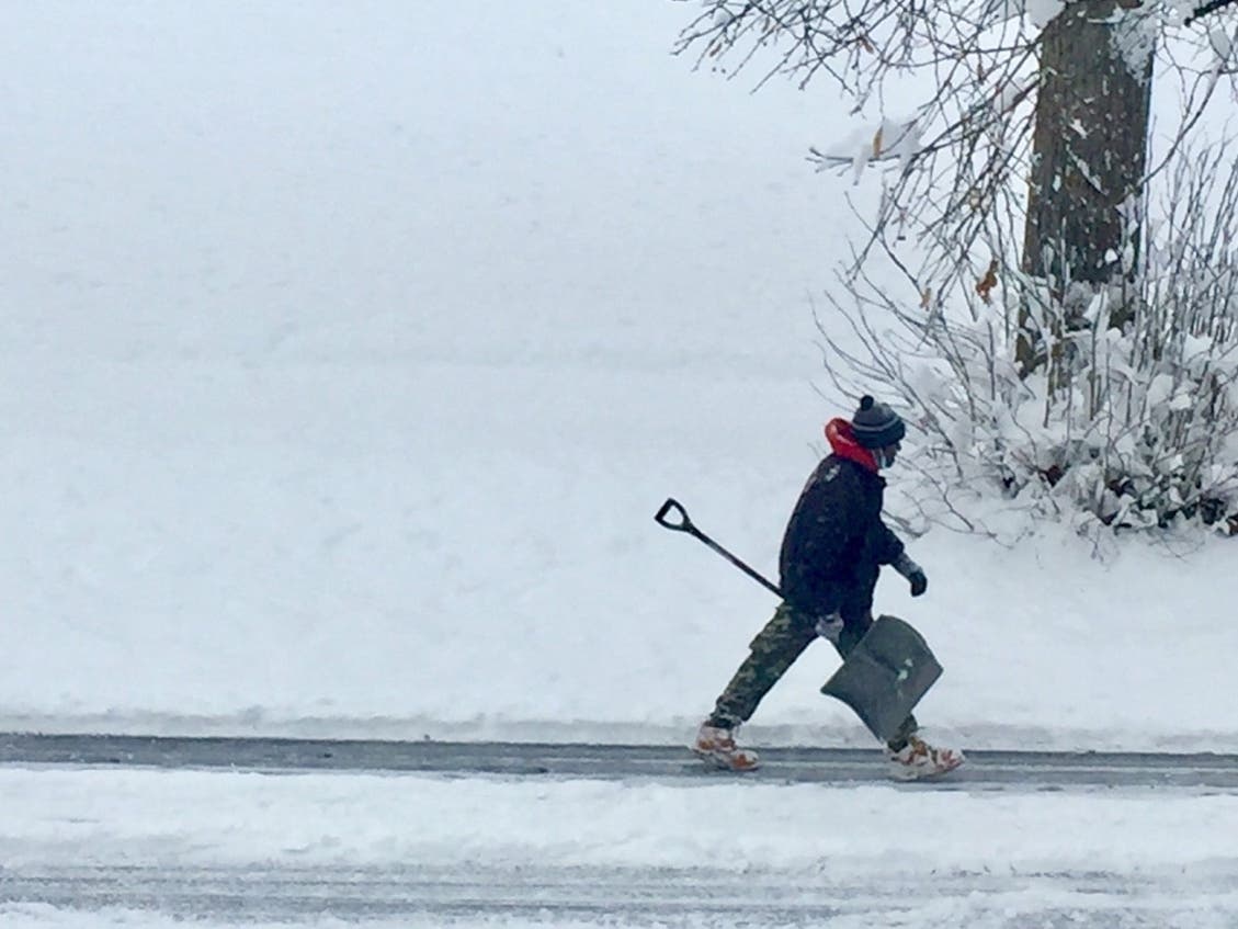
PHILADELPHIA, PA — A winter storm watch for this weekend's snow has been issued for the greater Philadelphia area, as the southeastern part of the state could see six inches of snow. However, snowfall predictions could significantly change, according to the National Weather Service.
"Confidence in the storm total snow forecast is very low, owing to continued large uncertainty with the track of the associated surface low," forecasters said Thursday.
Much of the Philadelphia area could get up to 6 inches of snow Friday night into Saturday night, the agency predicted Thursday morning. Meanwhile, the National Weather Service expects even more snow in South Jersey, including up to a foot at the shore.
Find out what's happening in Norristownfor free with the latest updates from Patch.
See snowfall predictions below:


The eastern part of the state is under a winter-storm watch from 7 p.m. Friday to 7 p.m. Saturday. The National Weather Service warns traveling could be difficult during that time.
Find out what's happening in Norristownfor free with the latest updates from Patch.
Forecasters expect snow to begin Friday evening in the Philly area, moving northward into Saturday morning.
Northeast-to-north winds of 20-25 mph with gusts of 40-50 mph are possible during the storm, according to the National Weather Service. The gusts could get strong enough to damage trees and cause power outages.
Low windchills for Saturday night could bring the rapid onset of frostbite on exposed skin. The windchills could dip below 0 Saturday night.
Here is the full forecast for the weekend:
Thursday
Sunny, with a high near 33. Calm wind becoming southwest around 5 mph in the afternoon.
Thursday night
Increasing clouds, with a low around 25. South wind around 5 mph.
Friday
A chance of rain after 2pm. Cloudy, with a high near 38. Calm wind becoming northwest around 5 mph in the afternoon. Chance of precipitation is 30%. New precipitation amounts of less than a tenth of an inch possible.
Friday night
Rain and snow likely, becoming all snow after 10pm. Cloudy, with a low around 21. North wind 5 to 15 mph. Chance of precipitation is 70%. New snow accumulation of 1 to 3 inches possible.
Saturday
Snow likely, mainly before 2pm. Mostly cloudy, with a high near 24. Northwest wind around 15 mph, with gusts as high as 30 mph. Chance of precipitation is 70%. New snow accumulation of 2 to 4 inches possible.
Saturday night
A chance of snow before 8pm. Partly cloudy, with a low around 12. Chance of precipitation is 40%.
Sunday
Sunny, with a high near 29.
Sunday night
Mostly cloudy, with a low around 16.
Get more local news delivered straight to your inbox. Sign up for free Patch newsletters and alerts.


