Weather
'Powerful' Storm To Hit Eastern PA Before Christmas: New Details
Another strong winter storm front is on its way, bringing "all-out blizzards" in some places, forecasters say. The latest:

PHILADELPHIA, PA — Forecasters have a little more clarity on the major winter storm that is moving toward the east and is likely to hit the greater Philadelphia area just before Christmas. It could impact travel for millions driving in the lead up to the holidays, and cause delays at airports in dozens of locations around the nation.
"Moderate rainfall and strong southerly winds are anticipated to spread up the east coast into the overnight hours on Thursday," the National Weather Service said Tuesday morning in their short range forecast discussion on the storm.
While the front could cause "all-out" blizzards in parts of the country, as AccuWeather puts it, the current forecast doesn't have most of the greater Philadelphia area seeing cold enough temperatures for snow to fall.
Find out what's happening in Norristownfor free with the latest updates from Patch.
The southeastern part of the state is slated to get heavy freezing rain and rain starting Thursday morning and continuing throughout th day, with an inch or more of precipitation expected, forecasters said. "Little or no ice accumulation" is expected, the National Weather Service said, as the low on Thursday will only be about 49 degrees.
Still, the local area will be impacted in other ways. For one, a deep freeze will set in on Christmas Eve and Christmas Day, with low temperatures in the teens. Further, all of the western half of Pennsylvania is expected to see significant snow in the storm, and those traveling to and from the region will run into difficulties.
Find out what's happening in Norristownfor free with the latest updates from Patch.
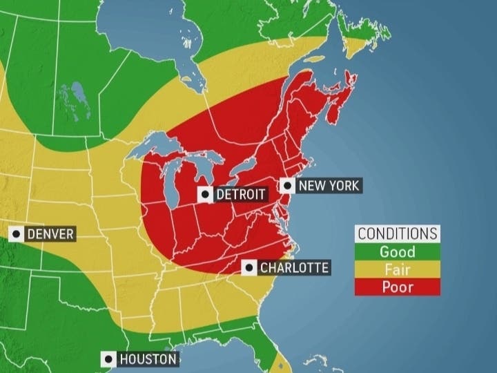
"Two-thirds of the nation’s flights are likely to be impacted by the major storm on Thursday and Friday," AccuWeather added. "Several major hubs, including Chicago, Detroit, and New York City, are all in the path of the storm and face significant disruptions. Ripple-effect delays from affected aircraft and crews will be felt across the nation."
Specifically, blizzard conditions are expected in Illinois, Indiana, Michigan, Wisconsin, Iowa, Kansas, Nebraska, and Missouri, according to the latest forecast, with snow accumulating in nearly all of New York state west of the Hudson River Valley, all of Pennsylvania west of State College, and most of Ohio.
Frigid air and high winds are likely to lead to icy and treachrous conditions for at least a day or two after the storm hits, perhaps continuing to impact travel on Christmas Eve and Christmas Day, forecasters said.
Here is the latest forecast through Christmas, courtesy of the National Weather Service:
Tuesday
Mostly sunny, with a high near 39. Northwest wind 5 to 10 mph.
Tuesday night
Partly cloudy, with a low around 26. North wind around 5 mph becoming calm in the evening.
Wednesday
Mostly sunny, with a high near 41. North wind around 5 mph becoming calm.
Wednesday night
Partly cloudy, with a low around 28. East wind around 5 mph becoming calm.
Thursday
A chance of rain or freezing rain before 10am, then rain likely. Mostly cloudy, with a high near 49. Northeast wind 5 to 10 mph. Chance of precipitation is 70%. Little or no ice accumulation expected.
Thursday night
Rain. Low around 49. Chance of precipitation is 100%. New precipitation amounts between three quarters and one inch possible.
Friday
Rain, mainly before 1pm. High near 58. Breezy. Chance of precipitation is 90%.
Friday night
Partly cloudy, with a low around 16.
Christmas Eve
Mostly sunny, with a high near 25.
Saturday night
Mostly clear, with a low around 14.
Christmas Day
Sunny, with a high near 25.
Sunday night
Mostly clear, with a low around 16
Get more local news delivered straight to your inbox. Sign up for free Patch newsletters and alerts.