Crime & Safety
Controlled Burn In Valley Forge National Park Coming Soon
The controlled burn could be done as early as Tuesday, March 27, according to officials. See full details on the controlled burn here.

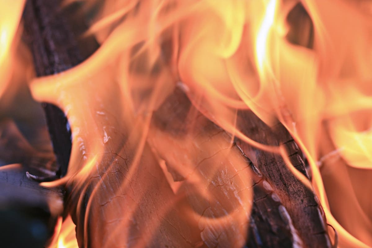
A controlled burn is planned for a large area of Valley Forge National Park and it could be done as early as Tuesday, March 27, according to officials.
The National Park Service said dates and times of the controlled burn fire are dependent on weather conditions – such as wind, temperature, and relative humidity – and the status of the condition.
The burn will take place no later than April 30, according to the NPS.
Find out what's happening in Tredyffrin-Easttownfor free with the latest updates from Patch.
Updates on exact dates and times for the burn will be available online here.
A 150-acre area is the target of the burn. That area is near Valley Forge Road/state Route 23 and Gulph Road in the park.
Find out what's happening in Tredyffrin-Easttownfor free with the latest updates from Patch.
"This controlled burn will be conducted outside of normal commuting hours but the public should expect to see smoke and fire adjacent to trails and roadways," the National Park Service said in its announcement. "Local police and fire departments have been advised. Federal and state authorities are conducting the prescribed fire to reduce the encroachment of invasive plant species in park meadows."
Vehicle traffic in the area may see delays due to smoke and some trails may require temporary closures.
A list of frequently asked questions on controlled burns is available here.
Called "prescribed fires," the burns help with managing invasive plants and promoting native species, especially when used in conjunction with other treatments, according to the NPS.
Several national parks in Pennsylvania regularly utilize prescribed fire, including Gettysburg National Military Park and Delaware Water Gap National Recreation Area, the NPS said.
Valley Forge had its last prescribed fire in October 2014.
The public can actually watch the burn if they wish. Designated viewing areas are Waynes Woods, National Memorial Arch, Varnums Picnic and the Von Steuben parking lots, according to the NPS.
A map of the burn areas as well as the viewing areas is available here.
Contact NPS Public Information Office Jonathan Parker at Jonathan_Parker@NPS.gov with questions.
Image via Shutterstock
Get more local news delivered straight to your inbox. Sign up for free Patch newsletters and alerts.