Community Corner
Rain, Sleet and Snow Likely Monday
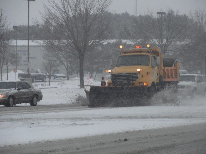
Be prepared for slippery roads and limited visibility and use extra caution if driving Monday, the National Weather Service warns.

The National Weather Service is advising travelers that Monday could be wet and slippery.
A ”Winter Weather Advisory” alert for freezing rain, sleet and snow is in effect from Monday at 6 a.m. through Tuesday at 6 a.m.
According to forecasters, rain will move into the region Sunday night and will mix with freezing rain, sleet and snow before changing to snow and sleet on Monday night. The ice and snow will make travel difficult in the region Monday and into the night, according to the National Weather Service.
Find out what's happening in Upper Moreland-Willow Grovefor free with the latest updates from Patch.
“Be prepared for slippery roads and limited visibility and use extra caution if driving,” according to the Winter Weather Advisory.
Here is the hour-by-hour forecast, from the National Weather Service:
Find out what's happening in Upper Moreland-Willow Grovefor free with the latest updates from Patch.
- Sunday night: rain, mainly after midnight. Low around 32. East wind 5 to 9 mph. Chance of precipitation is 90 percent. New precipitation amounts of less than a tenth of an inch possible.
- Monday: Rain or freezing rain before 10 am, then rain between 10 am and 4 pm, then rain and sleet after 4pm. High near 35. Northeast wind around 10 mph. Chance of precipitation is 90 percent. Little or no ice accumulation expected. Little or no sleet accumulation expected.
- Monday Night: Freezing rain and sleet before 10 pm, then snow likely. Low around 26. North wind 11 to 13 mph. Chance of precipitation is 90 percent. New ice accumulation of less than a 0.1 of an inch possible. New snow and sleet accumulation of less than one inch possible.
Get more local news delivered straight to your inbox. Sign up for free Patch newsletters and alerts.