Weather
RI Weather: Above Normal Temperatures On Tap; Models Cannot Agree After Thursday
After cold temperatures Friday and Saturday, we will see temperatures that will make it feel more like May than October.

Weather Forecast Discussion for Rhode Island on October 17, 2016
We have been feeling below-normal to normal conditions over the last few days here in the Ocean State. However, the mercury on our thermometers will be rising through the middle of the week. By the end of the week, we will return to more autumn-like weather.
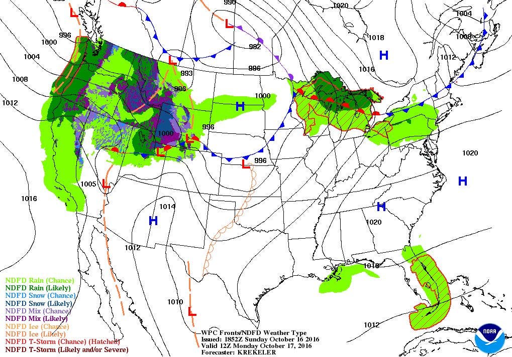
At the moment, we have partly to mostly cloudy weather across the state. We are losing our high pressure ridge to a band of showers ahead of a cold front in Canada. We may see a spot shower between 7 and 11 a.m. as the shower band passes through the northern part of the state. We will keep some clouds through Monday, with sunshine peeking through the stratus clouds. An upper level ridge will move over the Northeastern U.S. Monday, giving us above normal temperatures. Daytime high temperatures will climb into the lower 70’s. A spot shower is still possible, especially if there is more sunshine than expected. The sun could actually help trigger some showers over an isolated area. By Monday night, the cold front will head back north, but as a warm front. With more moisture in the atmosphere by Monday night, we will keep mostly cloudy skies, with patchy fog. Low temperatures will be in the upper 50’s.
Find out what's happening in East Providencefor free with the latest updates from Patch.
By Tuesday, the warm front will move into Northern New England, and we will see occasional wind gusts from the southwest at 20 mph. High temperatures, with partly sunny skies, could reach the upper 70’s. We may even break some daytime high temperature records. We will keep mostly cloudy skies and patchy fog for Tuesday night, as low temperatures only fall into the lower 60’s. We will have to pull all the blankets off the bed once again, as these temperatures are about 15-20 degrees above normal for mid-October. A very weak cold front will push through the region Wednesday afternoon. With partly to mostly sunny skies, high temperatures will reach the upper 70’s. Temperatures will begin to cool Wednesday evening, as the upper-level ridge breaks down. We will see partly cloudy skies, with lows in the middle 50’s.
By Thursday, the computer models begin to disagree on how to handle the weather pattern. In my last discussion, the models are unsure how to handle a developing upper-level trough moving down into the Southern Plains. A new surface low will form, but where and the intensity has the models confused. It seems the European model has had a better handle on this since the last discussion. The American model is still a little more east of the European, but the timing and intensity is very comparable. A low will form near Ohio by Thursday afternoon, and we will see limited sunshine on Thursday morning. Then, as the frontal boundary moves east, we will see overcast skies by the evening commute, with scattered showers by 7 p.m. The showers could end by late Friday morning. But, it’s a big “if” due to a possible tropical system being watched by the National Hurricane Center. This low will move straight north, and may bring us some showers and rain by Friday afternoon. Or, the two systems merge, and one of these systems brings steady showers and rain into early Saturday morning. Then, the low moves off into Maine and into eastern Canada. But, we will still have breezy north winds. For highs, we will see highs Thursday in the lower 70’s, with lows Thursday night in the middle 50’s. For Friday, highs would be in the middle 60’s, with lows Friday night in the middle 50’s. Finally, on Saturday, highs would only reach the lower 60’s, due to the north winds. We would see partly cloudy skies by Saturday night, but lows would fall into the middle 40’s. High pressure ridging from the south will bring mostly sunny skies next Sunday, with highs only reaching 60. At this time, I have very low confidence in the forecast after Thursday, as there are too many variables with two different types of low pressure systems.
Find out what's happening in East Providencefor free with the latest updates from Patch.
Tropical Update: A large area of thunderstorms located near the Bahamas is being watched by the National Hurricane Center at the moment. It is in an unfavorable environment right now, but will try to get into a better area as it moves north-northwest by Tuesday or Wednesday. There is a 40% chance for this area to become a tropical system within 5 days.
Jim Laurie is a local meteorologist who earned a B.S. in Meteorology at Lyndon State College in Lyndonville, VT. Jim has fifteen years of professional experience, with eight years in the field of marine meteorology.


