Weather
After a few showers this evening, we return to summer heat on Friday; cooler on Saturday, with more showers Saturday night.
We can;t seem to shake summer, despite being in September. However, long range models show below normal temperatures by next Thursday.

Weather Forecast Discussion for Rhode Island on September 9, 2016
The remnants of Hermine has finally moved away from Rhode Island. As of this afternoon, the center was now about 30 miles north of Chatham, MA. However, despite the afternoon sunshine on Thursday, clouds and showers will return this evening. Then, we will return back to summertime weather on Friday, before we begin to see a cooling trend. We may even begin to see temperatures that are cooler than normal.
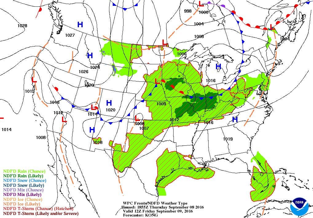
At this time, we are awaiting a frontal boundary passing over eastern Canada. By this evening, a low pressure center will develop over Quebec, Canada, and help bring moisture back into our atmosphere. We will see cloudy skies after 8 p.m., with some scattered showers arriving after 11 p.m. We will also see patchy fog, especially along the south coast. This is due to the high dewpoint temperatures, inching closer to air temperatures, which will be in the lower 70’s. We will see the best chance for fog along the south coast, as winds will turn to the south and south-southwest. Showers will persist until sunrise, before the weak cold front passes over and moves to our east. A weak high pressure ridge will bring abundant and warm sunshine for the rest of the day. However, with the high humidity, temperatures will skyrocket into the upper 80’s. This is well above normal for this time of the year, and we will have northwest winds as well. By Friday night, we will see partly cloudy skies, with low temperatures cooling into the lower 60’s.
Find out what's happening in East Providencefor free with the latest updates from Patch.
The weak high will be able to give us mostly sunny skies for Saturday, but winds will turn to the east. This will help lower our high temperatures for the day, with the mercury reaching the lower 80’s. The high’s center will be east of Newfoundland by Saturday evening. We will see increasing clouds by the mid-afternoon as a developing low east of Minnesota that morning moves east. By Saturday night, we can expect scattered showers with the slight chance for an isolated thunderstorm. Expect low temperatures to be in the upper 60’s. Showers will slowly dissipate through the morning, as the cold front moves off to our east. We will see partial sunshine by the mid-afternoon, and high temperatures will reach the lower 80’s. High pressure over the Mid-Atlantic Sunday night will bring clear skies and lower humidity. It will be quite comfortable to keep the windows open, as low temperatures fall into the upper 50’s.
By Monday morning, kids will be daydreaming of being outside in classrooms, as the high pressure center settles over Northern New England. It will be picture perfect weather, with mostly sunny skies, low humidity, and high temperatures in the upper 70’s. We remain under the high pressure ridge Monday night, but winds will begin to turn to the south-southwest. But, temperatures will remain in the upper 50’s. The high will begin to move into the Atlantic on Tuesday, and the ridge will weaken. However, we will see one more day of mostly sunny weather, with highs in the upper 70’s. We will see more moisture return, helping to increase the low temperatures Tuesday night into the lower 60’s under partly cloudy skies.
Find out what's happening in East Providencefor free with the latest updates from Patch.
By early Wednesday morning, some low-level clouds will arrive ahead of a cold front. At the moment, the computer models are unsure how much moisture will be with this front. We have the risk for some scattered showers before noon, and continue into the evening commute. Expect high temperatures in the upper 70’s. By Wednesday night, high pressure behind the front will help bring drier air, giving us clear skies. We will also feel some very cool air as well, as temperatures fall into the middle 50’s. By next Thursday, high pressure will dominate all of New England. For the first time in a while, we will have temperatures that may be cooler than normal. Long range models only project us seeing temperatures in the lower 70’s for highs.
Jim Laurie is a local meteorologist who earned a B.S. in Meteorology at Lyndon State College in Lyndonville, VT. Jim has fifteen years of professional experience, with eight years in the field of marine meteorology.


