Weather
After gray skies Sunday, risk of showers and possible thunderstorm returns on Monday; all eyes watching Matthew in Carribean
An upper-level low will bring more showers and a possible thunderstorm on Monday. Drier air returns on Tuesday, with warmer temperatures.


Weather Forecast Discussion for Rhode Island on October 3, 2016
The last few days have remained gray and wet. Over the weekend, T.F. Green Airport received a total of 1.09 inches of rainfall. Although that does help slightly, we are still several inches below normal, and the Ocean State remains under a moderate to severe drought. The temperatures we received in September did not help matters, either. According to T.J. Del Santo of WPRI-TV, the average temperature in September 2016 was 68.3 degrees. This is the 5th warmest September on record since 1905. We also measured the same average temperature back in 1930, 1945, and 2005. As we look to the present, we may see the risk for more showers Monday, before skies begin to clear. However, all eyes remain on Hurricane Matthew, and the unpredictable weather forecast for us after Wednesday.
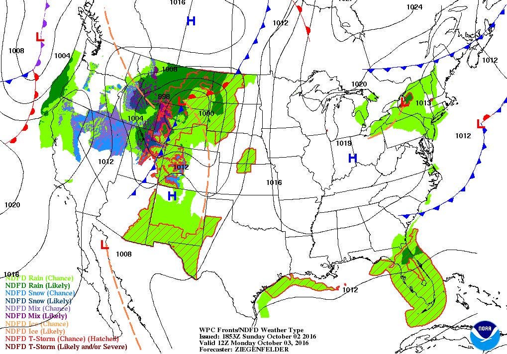
At the moment, the low that brought the rainfall this weekend is out to sea. But, an upper-level low over Ontario, Canada will slowly move over northern New England by Monday morning. We will remain cloudy tonight, with lows in the middle 50’s. By Monday, we will see the risk for scattered showers after lunchtime. There may even be a widely isolated thunderstorm during the mid-afternoon. The activity will dissipate before midnight, as high pressure riding from the west brings drier air. High temperatures on Monday will reach the upper 60’s, with lows Monday night in the middle 50’s. We will keep northeast winds on Tuesday, keeping low level moisture over us. But, we will see partial sunshine through the day, with highs in the lower 60’s. With high pressure sitting over Southern New England Tuesday night, we will finally see some stars in the skies. We can expect partly cloudy skies with lows falling into the upper 40’s.
Find out what's happening in East Providencefor free with the latest updates from Patch.
The high pressure ridge will remain over New England for Wednesday, with partly cloudy skies and highs in the middle 60’s. We will keep partly cloudy skies Wednesday night, with lows near 50. We will see warmer temperatures on Thursday, with highs in the upper 60’s under mostly sunny skies. Partly cloudy skies are expected Thursday night, with lows in the lower 50’s. The high pressure ridge stays over New England into Friday, with mostly sunny skies and highs near 70. Expect partly cloudy skies Friday night with lows in the middle 50’s.
By Saturday, the combination of a cold front bringing showers into the Mid-Atlantic and what could be the track of Hurricane Matthew will bring the risk for showers by the mid-afternoon. The front will continue to give us the risk for scattered showers into Sunday night. However, the track of Hurricane Matthew may greatly change the weather forecast, as it is still uncertain the actual track and intensity of the storm at this moment. Please continue to watch for my updated forecast discussions. The next scheduled update will be Tuesday afternoon.
Find out what's happening in East Providencefor free with the latest updates from Patch.
Hurricane Matthew Update: As of 5 p.m., Matthew was centered 320 miles south-southwest of Port-au-Prince in Haiti. Maximum sustained winds are at 145 mph, making it a Category 4 hurricane. It is moving northwest at 5 mph. Several Tropical Storm and Hurricane Watches and Warnings are in effect from the Dominican Republic and Haiti to the Southeastern Bahamas. At this time, the forecast track calls for Matthew to just miss the western tip of Haiti early Tuesday morning. Rainfall amounts expected for this area will make for life threatening conditions. Rain accumulations could be 15-25 inches for southern Haiti and the southwest portion of the Dominican Republic. Isolated amounts could reach 40 inches.
The track has Matthew passing over the Bahamas by 2 p.m. Wednesday afternoon. From there, the computer models all go in different directions. Many models turn Matthew slightly to the north-northwest, before a cold front Saturday helps push the low more out to sea by the weekend. However, the American and European model keeps the system closer to eastern Florida and towards the Carolinas by the weekend. So, continue listening and reading for updates, as Matthew may still affect the eastern coastline at some point.
Jim Laurie is a local meteorologist who earned a B.S. in Meteorology at Lyndon State College in Lyndonville, VT. Jim has fifteen years of professional experience, with eight years in the field of marine meteorology.


