Weather
After some showers Sunday morning, we will see fair weather Monday into Wednesday, with cooler temperatures on Thursday.
We have been waiting for some autumn weather to arrive. Well, temperatures will be below normal to normal for much of this week.

Weather Forecast Discussion for Rhode Island on September 12, 2016
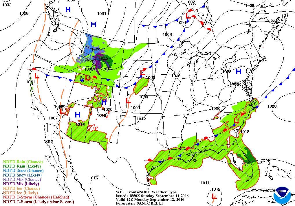
The cold front that brought showers, light rain, and strong winds earlier this morning is just passing through Rhode Island. There is little moisture with the front, allowing us to have mostly sunny to sunny skies. As the front passes to our east tonight, skies will remain clear, as high pressure over southern Illinois moves slowly east. We will see clear skies tonight, with light winds. This will allow for radiational cooling, as low temperatures fall into the middle 50’s. The high’s center settles just east of Cape Cod on Monday afternoon, keeping us under sunny skies. With northeast winds, our high temperature will only reach the middle 70’s. The high will once again give us clear skies and light winds, and low temperatures fall once again into the middle 50’s.
The high will slowly move off into the Atlantic on Tuesday, but we will remain under the influence of the system’s ridge. Winds will slowly turn to the south, allowing high temperatures to rise into the upper 70’s to lower 80’s. We will keep clear skies for Tuesday night, but low temperatures will rise into the lower to middle 60’s. The ridge will begin to break down during Wednesday afternoon, as a developing low pressure system near the eastern Great Lakes moves east. We will begin the day with sunshine, with increasing clouds by the evening commute. We will see highs reach the lower 80’s. Showers will arrive between 10 p.m. and midnight. The showers will continue into 6 a.m. Thursday morning. With cooler air moving into the area, low temperatures will fall into the middle 50’s.
Find out what's happening in East Providencefor free with the latest updates from Patch.
We will see clearing skies with sunshine arriving by 10 a.m. We will see sunny skies for the rest of the day, thanks to a new high pressure system near western New York. Thanks to some cooler air coming down from Canada, we will feel some autumn like weather. High temperatures are forecast to only reach the lower 70’s. We will keep clear skies Thursday night, as the high pressure center moves over the Mid-Atlantic. Low temperatures will be quite comfortable, falling into the lower 50’s. Friday will be a carbon copy of Thursday, with sunny skies and highs in the lower to middle 70’s. By Friday night, south winds will help bring moisture up from the south. Our dewpoints will slowly rise into the upper 50’s. So, despite lows in the upper 50’s, we may see patchy fog developing.
The patchy fog will continue into Saturday morning, before the sun begins to burn if off. We will see mostly sunny skies once again, with highs slowly rising into the upper 70’s. By Saturday night, the high pressure system will be holding off a low pressure system centered over northern Michigan. We will not see any precipitation, but we will see some mid and low-level clouds spill over the ridge. So, we will see mostly cloudy skies with milder low temperatures, as the mercury stops in the middle 60’s. As the low moves into eastern Canada on Sunday, the ridge will keep any precipitation away from New England at least until Monday. But, we will keep overcast skies, with highs in the upper 70’s.
Find out what's happening in East Providencefor free with the latest updates from Patch.
Tropical Update: The National Hurricane Center is watching a low pressure system about 1000 miles east of the Leeward Islands. Based on satellite imagery and computer model output, this low will likely become a tropical depression no later than Monday. The system is expected to move northwest and north-northwest at 10-15 mph for the next few days. There is a 70% chance it will become a tropical depression within 48 hours, and 80% within 5 days. Looking at the American model, the system will not reach the east coast, as it will get caught up in a frontal boundary from the cold front that passes over us Thursday morning.
Jim Laurie is a local meteorologist who earned a B.S. in Meteorology at Lyndon State College in Lyndonville, VT. Jim has fifteen years of professional experience, with eight years in the field of marine meteorology.


