Weather
Clearing skies through the evening; dry, cooler temperatures until the end of the week; humidity, temperatures up for weekend
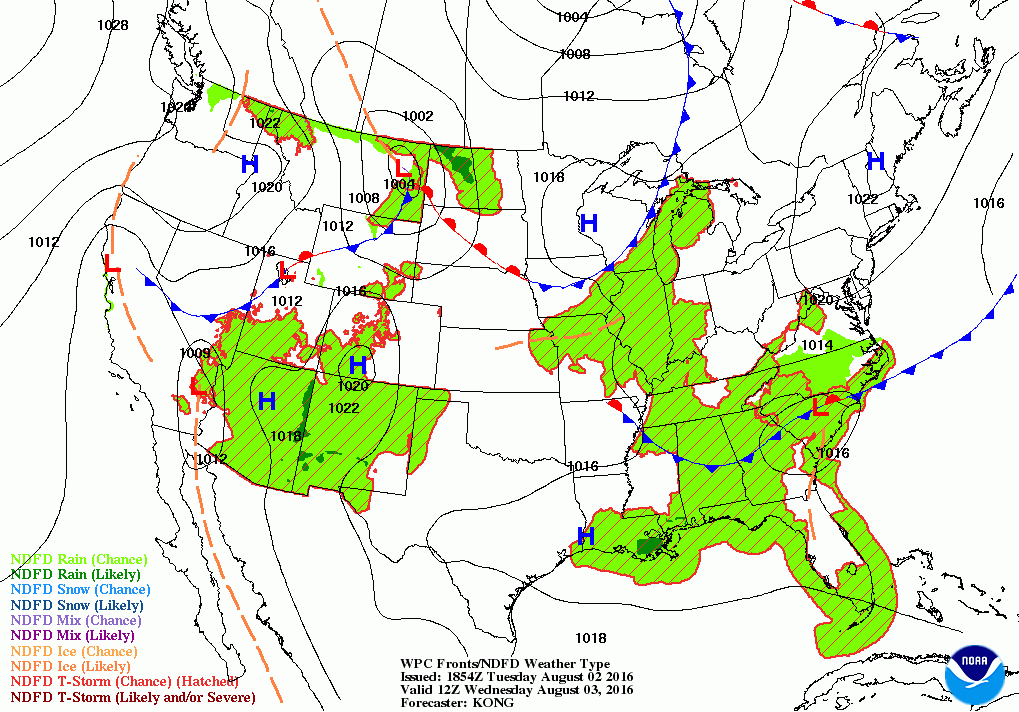
After rain this morning, high pressure will bring dry weather for the rest of the week. A cold front may bring rain, thunderstorms Saturday.

Weather Forecast Discussion for Rhode Island on August 3, 2016
A weak area of low pressure along a frontal boundary brought some moderate rain to the Ocean State during the busiest time of the morning commute on Tuesday. The result was another half an inch of rainfall, which was sorely needed, according to the observation from T.F. Green Airport. Now, we will feel cooler temperatures until the end of the week, before temperatures and the humidity rise into the weekend.
At the moment, weak high pressure riding over Northern New England will slowly bring drier air from west to east across the state. We may see some partial sunshine before sunset. Otherwise, skies will clear for this evening, and we will keep cool temperatures. Overnight lows will fall into the upper 50’s to the lower 60’s within Providence. Some low-lying areas may even see patchy fog this evening. By Wednesday, high pressure will center itself off of Cape Cod. We will have sunny skies, and temperatures will be comfortable, with highs in the lower 80’s. Clear skies will be over Rhode Island Wednesday night, with lows in the lower 60’s.
Find out what's happening in East Providencefor free with the latest updates from Patch.
The high will move further out into the Atlantic on Thursday, but we will remain under the influence of its ridge. We will keep mostly sunny skies, with winds now coming from the southeast. High temperatures will reach the lower 80’s. Skies remain clear Thursday night, but the humidity will slowly begin to increase. Overnight lows will increase into the middle 60’s, thanks to the south-southwest winds. We will keep sunny skies into Friday, while the humidity continues to increase. We will return to warmer temperatures, with highs in the middle 80’s. We will have partly cloudy skies Friday night, although we will begin to see the cloud deck begin to lower. It will be muggy and warm, with overnight lows only falling into the upper 60’s.
By sunrise, we will have overcast skies Saturday, thanks in part to a cold front moving through Southern New England. At the moment, only the American model is predicting some heavier rainfall. The other models are keeping us quite dry, with little precipitation at all. For now, I will keep the risk for showers and some isolated thunderstorms, especially during the morning and early afternoon hours. I would not call it a washout day, as the precipitation will be widely isolated. It will remain humid and warm, with highs in the upper 80’s. We will see any precipitation end by 8 p.m., as high pressure ridging behind the front brings drier air and partly cloudy skies into Sunday morning. Lows will only fall into the upper 60’s.
Find out what's happening in East Providencefor free with the latest updates from Patch.
A new high pressure system moving over Wisconsin will bring sunny skies for Sunday, with highs in the middle 80’s, with partly cloudy skies Sunday night and lows in the middle 60’s. This high will continue to drift eastward, and keep us protected from any rainfall into next Tuesday. With an upper level trough to our north over Canada, slightly cooler air will move over New England into early next week. Highs on Monday and Tuesday will reach the lower to middle 80’s, with lows in the middle 60’s.
Finally, we finally have a tropical system to discuss in the Atlantic. At noon, the National Hurricane Center has issued the first advisory for Tropical Storm Earl, which formed about 200 miles south of Grand Cayman. As of 2 p.m. EDT, Earl was centered at 16.3N, 80.8W, with maximum sustained winds of 50 mph. It is quickly moving west at 22 mph. The system is expected to intensify before moving into central Belize around 9 p.m. Wednesday. The system will weaken as it moves inland, but will come back out into the southern Gulf of Mexico Friday morning. The forecast is for Earl to re-intensify back from a Tropical Depression to a Tropical Storm.
Jim Laurie is a local meteorologist who earned a B.S. in Meteorology at Lyndon State College in Lyndonville, VT. Jim has fifteen years of professional experience, with eight years in the field of marine meteorology.


