Weather
Cloudy With A Sprinkle Sunday; Nice Weather Election Day; Possible Showers Wednesday
A low over the Atlantic will keep clouds and sprinkles over Rhode Island Sunday. We will see warmer temperatures for Election Day.

Weather Forecast Discussion for Rhode Island on November 6, 2016
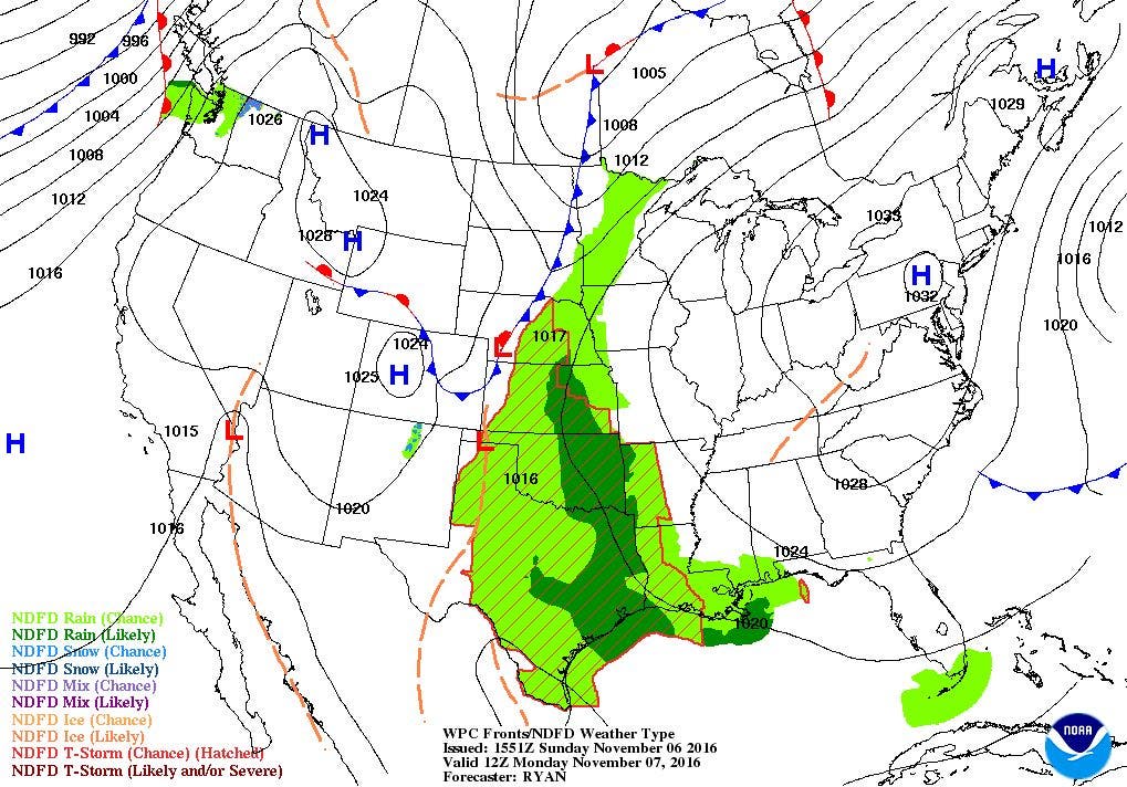
I hope everyone remembered to change your clocks back one hour before heading to bed last night. If not, please remember to do so during the day. We started Sunday with some sunshine, but you probably noticed some dark skies or stratus clouds overhead at the moment. This moisture is coming from a weak area of low pressure sitting well offshore of Cape Cod, MA. This low will keep the cloud cover over us, and do not be surprised if you feel a sprinkle or stray shower through the day. In fact, we did receive some showers earlier this morning from the same low. High temperatures today will only reach the lower 50’s. Also, you may feel some decent wind gusts, due to the pressure gradient between the approaching high and the low moving east. By tonight, the low will move further into the Atlantic, taking the leftover moisture eastward. Skies will begin to clear, and winds will become light, as high pressure builds just to our west. It will be cold, with low temperatures falling into the lower to middle 30’s.
We will remain under the influence of this high for the next few days. We will see sunny skies but highs will only reach the lower 50’s. Skies remain clear Monday night, with lows in the lower to middle 30’s. The weather looks great as we head to the polls on Election Day, and it will be noticeable warmer. An upper-level ridge will move over the region, allowing for southerly winds. This will bump high temperatures into the lower 60’s. We will see partly cloudy skies until midnight, with some moisture from the west moving towards New England. Skies will see increasing clouds entering sunrise Wednesday morning, with mild low temperatures in the middle 40’s.
Find out what's happening in East Providencefor free with the latest updates from Patch.
Like the political candidates, there is some disagreement with the computer models on an approaching cold front. The European model has the front arriving earlier than the American model. The scenario with the European has us seeing scattered showers by the morning commute for Wednesday. However, the American model has the front lagging behind, and not arriving over Southern New England until the afternoon. Looking at the Canadian model as a reference, it lags the front even more than the American model, as the precipitation does not arrive until the evening. After looking over the models, I believe in the American model at this time. I feel the European model moves the front too quickly, as the high pressure system creates a stronger ridge over us. So, I am calling for partly sunny skies by late morning, with overcast skies by noon and scattered showers the rest of the day. High temperatures will be in the middle 50’s. Showers will end by 7 p.m., with clearing skies Wednesday night. Low temperatures will fall into the upper 30’s under partly cloudy skies.
The weather remains mostly sunny and dry as we move through into the end of the week. Thursday looks nice, with highs in the lower 50’s, and lows in the lower 40’s. The models once again disagree as we head into Veteran’s Day. A strong low pressure system will remain over Canada. The cold front from this system is forecast to reach the Northeast U.S. by the evening commute. We may see some showers from this system by Saturday morning. However, The European model keeps all the precipitation over Canada and Northern New England. At this time, it is difficult to forecast this time period. The upper-level shortwave that will bring energy to this low is now just making its way over the Pacific Northwest. There is not enough data in the American model to know if this forecast is correct. For now, I will call for partly sunny skies by the afternoon, with mostly cloudy skies Friday night. Highs will reach the lower 50’s, but it will become breezy by the afternoon. This low will also bring some cooler air down from Canada. Right now, I am calling for showers through Saturday, with high temperatures only in the middle 40’s. The precipitation ends before midnight, with slow clearing Saturday night. Low temperatures will be cold, falling to near 30. We return to mostly sunny skies for next Sunday, with highs only in the lower to middle 40’s.
Find out what's happening in East Providencefor free with the latest updates from Patch.
Jim Laurie is a local meteorologist who earned a B.S. in Meteorology at Lyndon State College in Lyndonville, VT. Jim has fifteen years of professional experience, with eight years in the field of marine meteorology.


