Weather
Damp, gray, rainy conditions continue tonight into Saturday morning; precipitation tapers off through Sunday night
We can really use the rain, and some spots of Southern New England may see up to 2 inches. The weather does not improve until Tuesday.


Weather Forecast Discussion for Rhode Island on October 1, 2016
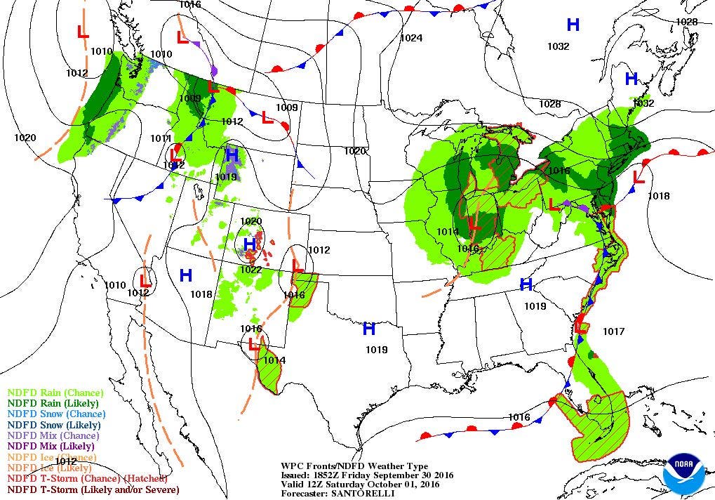
At the moment, a low pressure system hanging off the Mid-Atlantic coast is helping to bring rain bands from south to north into the Ocean State. We have already received over 0.10 inches of rain at T.F. Green within the last two hours. The precipitation will continue and may be heavy at times through the overnight. Look for lows to only fall into the lower 50’s. On Saturday, the low pressure system will begin to weaken. We will see steady rain taper off to showers through the morning, and become more scattered through the afternoon. With the east winds and cloud cover, high temperatures will barely make it into the upper 50’s. As the low moves towards the Gulf of Maine Saturday night, we will continue to see isolated to scattered showers, with low temperatures in the middle 50’s.
Despite the low moving away from us, a weak low pressure system centered over Michigan will continue to keep cloudy skies with the risk of passing showers through the day. We may even see some patchy fog during the mid-morning and early afternoon. So, if you are heading to Fenway or Foxboro for the Red Sox and Patriot games, you may want to keep a jacket or poncho on stand-by. Look for highs to reach the lower 60’s. As the Michigan low begins to dissipate, we will only see mostly cloudy skies with some patchy drizzle Sunday night. Look for patchy fog to develop, especially after midnight. Low temperatures will fall into the middle 50’s. As the upper-level low passes over Southern New England on Monday, it may help create a widely isolated shower during the daytime hours. With winds shifting out of the east, high temperatures will reach the middle 60’s. We should see a few stars Monday night, but it will remain mostly cloudy. We will see patchy fog return as well. Look for lows in the middle 50’s.
Find out what's happening in East Providencefor free with the latest updates from Patch.
By Tuesday, many meteorologists are unsure what to do with the forecast. It really has to do with Hurricane Matthew. Based on its forecast track, once the hurricane moves north of eastern Cuba Tuesday afternoon, the models become very unsure what to do with it. At this time, high pressure near Maine will give us partly to mostly sunny skies. The cloud cover will be due to winds coming from the northeast and east-northeast once again. This will help keep our high temperatures cooler, only reaching the lower 60’s. We will get mostly sunny skies for Wednesday, with highs reaching the middle 60’s, with partly cloudy skies Wednesday night, and lows in the lower 50’s.
Looking at the 8 a.m. Friday American model, it has Matthew moving away from South Carolina next Friday evening. But, a few computer models do bring the hurricane right towards Rhode Island and southeast Massachusetts. The majority, however, keep the low out to sea. For now, I will stay optimistic, and call for mostly sunny skies for Thursday and next Friday. High temperatures will reach the upper 60’s, with lows in the middle 50’s.
Find out what's happening in East Providencefor free with the latest updates from Patch.
Tropical Update: As of 2 p.m., Hurricane Matthew was centered about 85 miles from Punta Gallinas, Colombia. Maximum sustained winds are now at 120 mph (a category 3 hurricane) and is moving west-southwest at 12 mph. Over the next few days, the hurricane will turn more northwest, and then north-northwest into Monday. It will past just east of Jamaica, before making landfall on eastern Cuba around 8 p.m. Monday night. It will gradually weaken as it moves over land early Tuesday morning, before passing over the middle of the Bahama Islands Tuesday night. From there, the National Hurricane Center is very unsure how Matthew will track. Computer models forecasts are anywhere between hitting Florida to as far north as Rhode Island. Many models, however, are showing that the low may track off to the north-northeast and eventually away from the east coast. Much of the east coast will see higher seas and surf moving south to north by Tuesday evening.
Jim Laurie is a local meteorologist who earned a B.S. in Meteorology at Lyndon State College in Lyndonville, VT. Jim has fifteen years of professional experience, with eight years in the field of marine meteorology.


