Weather
Dry Next Few Days; Rain Expected Monday Night Into Tuesday
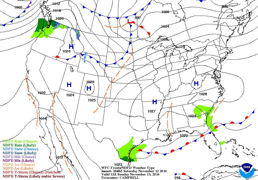
High pressure will continue to give us dry weather through the weekend. A low forming off Georgia will bring rain late Monday night.

Weather Forecast Discussion for Rhode Island on November 13, 2016
At the moment, a large area of high pressure is covering about 2/3 of the entire country at the moment. This is why the Ocean State has had dry weather for the last few days. We will see a little low-level moisture pass over us tonight, giving us mostly cloudy skies. Temperatures will remain cold, as the mercury falls to near freezing. The high’s center will shift south and east through Sunday, providing us with mostly sunny skies by the afternoon. With winds turning to the west and southwest, our temperatures will be milder, with highs in the upper 50’s to lower 60’s. By Sunday night, the high will move offshore into the Atlantic, but will provide us with clear skies. Low temperatures will fall into the upper 30’s.
As we enter Monday, we will keep sunshine for the daytime hours, despite the high being well into the Atlantic Ocean. High temperatures will reach the lower 60’s. But, we will see increasing clouds as we approach sunset, due to a developing low pressure system off the coast of Georgia. This low will slowly move right up the coast, and bring the threat of rain early Tuesday morning. Look for low temperatures to fall into the middle 40’s. The low’s center remains offshore, moving into the Gulf of Maine by Tuesday night. How much rainfall we receive is still track dependent, as it appears Rhode Island and eastern Massachusetts will see the most precipitation. Showers become scattered by 5 p.m., before all precipitation ends after 8 p.m. High temperatures Tuesday will reach the middle 50’s, with lows Tuesday night in the middle 40’s.
Find out what's happening in East Providencefor free with the latest updates from Patch.
We will still have some low-level moisture around on Wednesday, so we will have limited sunshine. But, it will be dry, with highs reaching the upper 50’s. High pressure will build in from the west, slowly clearing our skies Wednesday night. Expect low temperatures in the lower 40’s. Thursday looks nice, as high pressure moves over the eastern U.S. Expect mostly sunny skies with highs in the upper 50’s, and lows in the middle 40’s.
By Friday, we will still be under the influence of high pressure, although the center will be over Quebec, Canada. We will keep sunny skies, with highs in the upper 50’s to lower 60’s. We will see one more day of sunshine next Saturday, before the risk for some showers Sunday afternoon and heavy rainfall in the evening. Look for highs in the lower 60’s.
Find out what's happening in East Providencefor free with the latest updates from Patch.
Jim Laurie is a local meteorologist who earned a B.S. in Meteorology at Lyndon State College in Lyndonville, VT. Jim has fifteen years of professional experience, with eight years in the field of marine meteorology.


