Weather
Dry Weather Through Friday; Possible Rain By Saturday Afternoon; Colder Weather Monday
High pressure will keep us dry into the weekend. A strong low will bring showers and rain this weekend, with colder temperatures by Monday.

Weather Forecast Discussion for Rhode Island on November 17, 2016
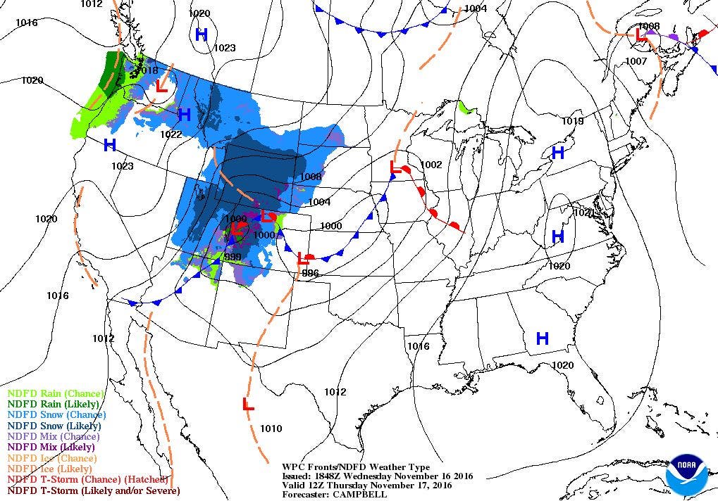
A low pressure system is moving out of Northern New England this afternoon, allowing for high pressure ridging to move over Rhode Island. This ridge is helping to bring more sunshine to the state, and drying out the atmosphere. We received a good dose of rainfall yesterday, with most of the state receiving over an inch. West Greenwich reported the highest rainfall amount, at 1.75 inches. For now, we will keep dry weather until the beginning of next week.
The high’s center will come over the Mid-Atlantic by Thursday morning. We will see clear skies for tonight, with low temperatures in the Providence area falling to near 40 degrees. We will return to mostly sunny skies on Thursday, with highs near 60 degrees. As we move through the afternoon, though, we may feel wind gusts reach 20 mph at times. We will keep sunny skies into Friday, as the high pressure ridge axis moves over Southern New England. Look for highs in the upper 50’s, with clear skies and lows in the middle 40’s Friday night.
Find out what's happening in East Providencefor free with the latest updates from Patch.
Over the last few days, the computer models have been unsure how to handle two low pressure systems. One low was over the Atlantic, but moving back towards the coastline. The other low will actually bring blizzard like conditions to parts of the Midwest. We will start off with sunshine on Saturday, but the American model has been consistent in bringing the second low into Canada Saturday afternoon. The cold front makes its way into Southern New England by Saturday night. Bur, the precipitation shield stays west of us until Saturday evening. So, I will call for cloudy skies with isolated showers by 6 p.m. We should see highs in the upper 50’s despite limited sunshine in the afternoon. We will keep showers and light rain into Saturday night, with lows in the middle 40’s.
By Sunday morning, the two low pressure systems actually merge, with the low over land becoming the primary low. We will keep showers and light to moderate rain through the day, with strong northwest winds by the late morning. Rain will taper to showers by 3 p.m., with all precipitation ending by 7 p.m. Expect daytime highs in the lower 50’s, with lows in the upper 30’s under mostly cloudy skies.
Find out what's happening in East Providencefor free with the latest updates from Patch.
Although the American model brings high pressure over us for Monday, the European model actually keeps the low from the weekend over the Gulf of Maine in the morning. So, I believe the American model is drying us out too quickly. I feel we will keep mostly cloudy skies for Monday, especially when we keep northwest winds. The American model has a weakness for drying out the atmosphere too quickly, especially during the late autumn and winter months. So, we will remain dry, but with mostly cloudy skies, and temperatures will dip into the middle 40’s for high temperatures. Colder air aloft from Canada will move over the Northeastern U.S., keeping our temperatures below-normal. I do believe skies will clear for Monday night, with lows falling into the lower 30’s. For the Cape and Islands, we may see wind gusts of 20-30 mph from the low into Monday night. High pressure will control our weather for Tuesday, giving us sunny skies with highs in the middle 40’s and lows near freezing. The computer models are disagreeing on how to handle a low pressure system coming out of the Southwest U.S. for Wednesday. The American model brings us showers by Wednesday afternoon, while the European model keeps us under sunny skies until Wednesday evening. High temperatures are expected to reach the upper 40’s. At this time, the models are predicting Thanksgiving may start off with some rain, before the precipitation ends by the mid-afternoon.
Jim Laurie is a local meteorologist who earned a B.S. in Meteorology at Lyndon State College in Lyndonville, VT. Jim has fifteen years of professional experience, with eight years in the field of marine meteorology.


