Weather
Enjoy the sunshine, as we will enter a period of unsettled weather by midweek. Showers, drizzle, and fog are expected.
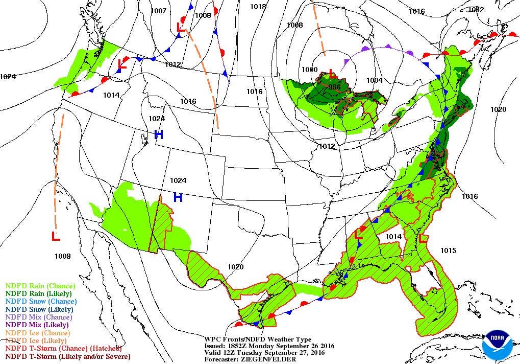
After showers this evening, a stalled low over North Carolina will keep low-level moisture over Rhode Island from Wednesday until Saturday.

Weather Forecast Discussion for Rhode Island on September 27, 2016
The temperatures were quite chilly Monday morning, letting us know that we are now into the autumn season. We will see regular temperatures on Tuesday, despite seeing showers and rain. However, persistent northeast winds off the ocean and a stalled upper-level low by midweek will give us gray skies and persistent chances for showers into the end of the week.
At the moment, a high pressure system south of Cape Cod is moving east, allowing for a low pressure system in central Canada to bring a cold front closer to us. You may already see the high, thin clouds slowly coming in from the west. We will eventually have cloudy skies before midnight, with showers arriving by 4 a.m. With the cloud cover, temperatures will be much warmer, with the mercury staying in the upper 50’s. Look for showers to continue in the morning, with isolated showers through the afternoon. This is due to the fact that the cold front has passed off to our south. However, the front will stall along the south coast, meaning steadier shower activity through tomorrow night. Due to the low-level moisture, patchy fog is possible during the afternoon. Look for highs to be in the lower 70’s. Inland areas will see partly cloudy skies by Tuesday night, with lows in the upper 50’s.
Find out what's happening in East Providencefor free with the latest updates from Patch.
By Wednesday, a low pressure system well southeast of Long Island may bring the risk for some showers, especially during the morning. However, the computer models are all agreeing at this time it will stay far enough south and east of us. However, with that persistent northeast wind, we will see more clouds than sunshine, with the risk for an isolated shower. Look for highs in the upper 60’s to lower 70’s. By Wednesday night, that upper-level low will help create a new surface low over the Carolinas. The moisture from that low will try to work northward. So, I am forecasting isolated showers possible through the evening. Otherwise, expect overcast skies and lows in the upper 50’s.
Unfortunately for us, that upper-level low will remain spinning in place, right over the Tennessee River Valley. This will keep the surface low at bay as well. So, we may see off and on isolated showers from Thursday right into Saturday night. It will not be steady precipitation, but rather the off and on showers. We will also see patchy fog during the early to mid-mornings during this time period. We may be able to see some sunshine on Saturday, as the moisture content lessens, and the risk for showers dissipate. Look for highs Thursday through Saturday to be in the upper 60’s, with nights in the upper 50’s until Saturday night, when lows fall into the middle 50’s.
Find out what's happening in East Providencefor free with the latest updates from Patch.
By Sunday morning, we will finally see the gray skies end, as high pressure ridging from the west brings in drier air. Also, winds will shift more to the south, giving us a land breeze inland. We will see more sunshine as the day wears on, with highs in the upper 60’s. We will see partly cloudy skies Sunday night, with lows in the lower 50’s. We return to mostly sunny skies next Monday, with highs in the upper 60’s.
Tropical Update: As of the last update, both Karl and Lisa have dissipated, and there are no more advisories on the systems. However, there is one area being investigated that will likely become the next named system within the next 24 hours. It is centered 950 miles east-southeast of the Windward Islands. It is moving west at 15-20 mph. A Hurricane Hunter aircraft will be investigating this disturbance by Tuesday afternoon. There is a 70% chance it will become a tropical system within 48 hours, and a 90% chance within the next 5 days.
Jim Laurie is a local meteorologist who earned a B.S. in Meteorology at Lyndon State College in Lyndonville, VT. Jim has fifteen years of professional experience, with eight years in the field of marine meteorology.


