Weather
Hermine now a Post-Tropical Cyclone; Still will create dangerous surf, rip currents for south; Tropical Storm Watch in effect
The weather looks o.k. for any outdoor plans during Sunday; but, Hermine will create bad conditions for the south shore over the next 2 days
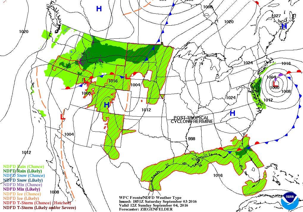


At the moment, high pressure off the Gulf of Maine is giving us partial sunshine, as we are seeing the high and mid-level clouds from Post-Tropical Cyclone Hermine. A Tropical Storm Watch is now in effect for the entire south coast, along with the east Bays. This means there is the chance within the next 36 to 48 hours we could see winds reaching tropical storm strength, with wind gusts possibly reaching 50 knots across ocean waters. This advisory is in effect until Tuesday morning.
The forecast calls for the high to keep Hermine at bay, giving us cloudy but dry weather for this evening. Low temperatures are expected to reach the lower 60’s. It will remain a mix of sun and clouds on Sunday, but winds will be slowly increasing from south to north. It will still be dry to see the Pawtucket Red Sox game to start, but it will be breezy. I’m expecting high temperatures to only reach the lower 70’s. So, if you have outdoor plans, you should be alright. By Sunday night, the winds will be breezy, with gusts reaching 30 mph. However, we will remain mostly cloudy, with the risk for a shower after midnight. Low temperatures will fall into the middle 60’s. Also, with dewpoint temperatures rising into the middle 60’s, it will feel more humid.
As we go into Labor Day morning, Hermine will slowly move northward. We should see strong winds, increasing surf, and dangerous rip currents along the south coast. Also, rainfall will become heavier, starting along the south coast and working north. Winds inland will be about 15-20 mph, but along the coast wind speeds could reach 30-35 mph with gusts near 50 mph. Depending on Hermine’s future track, the south coast may see tropical bands of heavy rain moving through the area. Some area may see less than an inch of rain, but in heavier bands, some areas could see up to 2 inches of rain. Daytime high temperatures will only reach the lower 70’s. The conditions will not improve much Monday night, as Hermine is forecast to actually nudge northward. Also, with the warm ocean temperatures, Hermine will actually intensify. By early Tuesday morning, Hermine may be producing winds near hurricane strength. However, that powerful energy will remain well offshore. However, due to astronomical high tide, beach erosion is very possible by Tuesday, especially along the areas between Westerly to Point Judith. Conditions will not improve much through Tuesday, as Hermine is forecast to slowly move south of Nantucket and Martha’s Vineyard by Wednesday morning. Expect daytime highs Tuesday in the middle 70’s, and lows in the upper 60’s. But, the precipitation shield will move off to the east, seeing our precipitation come to an end by early Wednesday morning. We will keep overcast skies through the day, with the chance of some sunshine before sunset. Winds will begin to diminish, but conditions along the shoreline will not improve. Look for highs Wednesday to reach the upper 70’s, with lows Wednesday night in the upper 60’s.
Find out what's happening in East Providencefor free with the latest updates from Patch.
With winds shifting to the southwest, and a weak upper level ridge moving back over the eastern U.S., we will return to summer weather by Wednesday afternoon. We will need the air conditioners and fans once again as high temperatures rise into the middle 80’s by Thursday. However, high pressure over the Southeast U.S. will bring back sunny skies. It will remain muggy Thursday night, as low temperatures only fall into the upper 60’s. By Friday, a cold front will pass through the region, giving us the slight risk for some showers and thunderstorms. We return to partial sunshine next Saturday, although a cold front could bring more showers by early Sunday morning. Look for daytime highs in the lower to middle 80’s for next Saturday.
First Pitch Forecast (home of McCoy Stadium, home of the Pawtucket Red Sox):
Find out what's happening in East Providencefor free with the latest updates from Patch.
Sept 4th vs. Buffalo (6:05 p.m.): Cloudy, breezy, chance of showers after 9 p.m.; 69.
Sept 5th vs. Buffalo (1:05 pm.): Cloudy, windy, scattered showers/ tropical rain bands, 68.
Jim Laurie is a local meteorologist who earned a B.S. in Meteorology at Lyndon State College in Lyndonville, VT. Jim has fifteen years of professional experience, with eight years in the field of marine meteorology.


