Weather
Hermine still creating rough surf and high seas; will move out by Thursday night; summer like weather returns for weeeknd
The rough surf and high seas will continue into the end of the week, but better weather is ahead at the same time. Showers arrive Sunday.

Weather Forecast Discussion for Rhode Island on September 7, 2016
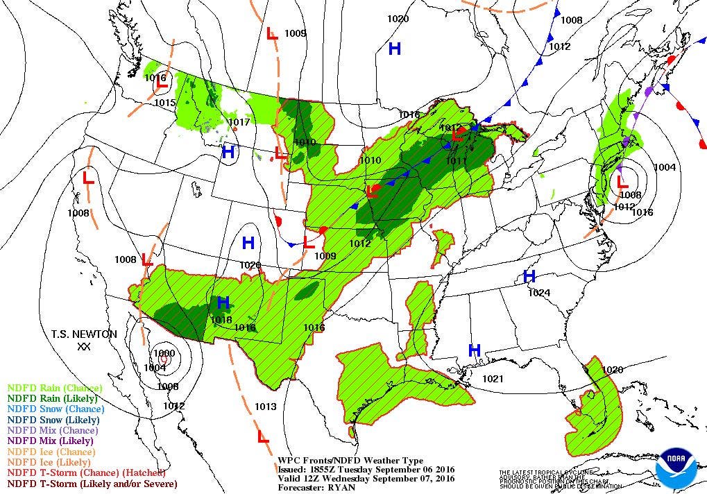
Although we have not been directly hit from Post-Tropical Hermine, we are still feeling the effects of the storm. We still have high seas outside the entrance of our bays, we still have some decent wind gusts being reported, and this morning about 6,500 Rhode Island National Grid customers lost power. The computer models see Hermine still lingering south of Long Island until Thursday, then we will return to summer like weather for the weekend.
The forecast is for Hermine to slowly move west over the next 24 hours. Despite the sun and clouds over eastern Rhode Island, pin-wheeling moisture will continue to move in from the southwest to northeast. So, by tonight, we will return to mostly cloudy skies. Also, dewpoint temperatures will begin to increase, as winds shift from the east to the southeast on Wednesday. We will return to possible showers and patchy fog for this evening, with lows in the middle to upper 60’s. Due to the western side of the storm having the most precipitation, we will return to scattered showers on Wednesday, especially during the daylight hours. By Wednesday night, the center of the remnants of Hermine will be near Nantucket. With the system rapidly weakening, the chances for isolated showers will be weakening. Also, the winds gusts will weaken, especially along the south coast. However, we will keep the high risk for rip currents into the end of the week. Look for high temperatures Wednesday near 80 degrees, with low temperatures in the upper 60’s.
Find out what's happening in East Providencefor free with the latest updates from Patch.
A low pressure system moving into Quebec, Canada will help push the remnants of Hermine north of Cape Cod and into the Gulf of Maine Thursday morning. Any leftover drizzle, mist, and isolated shower will come to an end by the late morning. We will begin to see more of a mix of sun and clouds by the mid-afternoon. With the extra sunshine, high temperatures will reach the lower to middle 80’s. But, it will become quite muggy, as southwest winds nor brings more tropical moisture back into Southern New England. It will be quite uncomfortable for sleeping Thursday night, with lows temperatures only falling into the lower 70’s. Weak high pressure ridging will give us mostly sunny skies for Friday, but it will be the hottest day of the week. Look for high temperatures to reach the upper 80’s.
As we enter the weekend, a strong high pressure center coming off of Canada will continue to give us mostly sunny skies for Saturday. It will still remain warm, as high temperatures reach the middle 80’s. We will see increasing skies Saturday night, as a cold front moves into the Mid-Atlantic. Low temperatures will only fall into the upper 60’s. We should see some scattered showers before sunrise Sunday morning, as the cold front begins to pass through Southern New England. Showers will last until 9 p.m., before high pressure behind the front influences our weather. Expect high temperatures in the upper 70’s, with lows falling in the lower 60’s, thanks in part to dewpoint temperatures decreasing, as well as radiational cooling from having clear skies.
Find out what's happening in East Providencefor free with the latest updates from Patch.
A new high pressure system coming out of the Northern Plains will continue to give us nice weather to start next week. Expect mostly sunny skies Monday and Tuesday, with highs ranging from the upper 70’s to lower 80’s. Lows will fall into the lower 60’s under clear skies.
Jim Laurie is a local meteorologist who earned a B.S. in Meteorology at Lyndon State College in Lyndonville, VT. Jim has fifteen years of professional experience, with eight years in the field of marine meteorology.


