Weather
Hot, hazy, and humid weather continues tomorrow; rain chances increase throughout the weekend; cooler weather Monday
The heat index touched 100 degrees on Thursday afternoon. We may see it again on Saturday. Precipitation chances increase into the weekend.

Weather Forecast Discussion for Rhode Island on August 12, 2016
I know people are calling this weather over the Ocean State a few choice words. However, we need to stay with the clean ones. Hazy, hot, and humid weather as created oppressive conditions across the state, as thermometers at 3 p.m. are in the lower to middle 90’s. A Heat Advisory remains in effect until 7 p.m. tonight, as the heat index reached 100 degrees at 3 p.m. This weather will continue into the weekend, with cooler temperatures not expected until the start of next week.
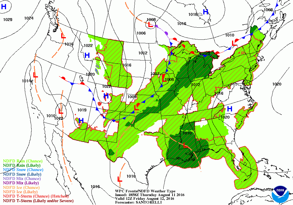
With the tropical jet north of us, we are feeling above normal temperatures and heat. A wave of low pressure will ride along a frontal boundary, but stay north of us tonight. Southern parts of the state did see strong thunderstorms develop in the late morning, so we will have a slight risk for showers and thunderstorms into the evening. Otherwise, expect partly cloudy skies with low temperatures only falling into the upper 70’s. Also, expect patchy fog for most of Rhode Island, especially along the south coast. We may break a record for the highest minimum temperatures recorded for August 11th. By Friday, the stationary front slowly dips south. We will see the risk for showers and thunderstorms develop after 10 a.m. Otherwise, we will see partial sunshine with high temperatures reach near 90 degrees. Due to the temperatures being slightly cooler, a Heat Advisory will not be needed. The risk for more showers and thunderstorms continue Friday night, albeit slight to fair. Overnight lows will not be cool, as the mercury stays in the upper 70’s.
Find out what's happening in East Providencefor free with the latest updates from Patch.
An area of low pressure will form over central New York Saturday morning along the frontal boundary. This low will slowly dip south as it stays along the frontal boundary, now working into Massachusetts during the afternoon. The best chance to see showers and thunderstorms will be after 2 p.m. However, with the boundary inching closer, I would say we have a fair to moderate chance of seeing showers, heavy rain, and isolated thunderstorms into Saturday night. Any partial sunshine will help raise temperatures into the lower 90’s. With the high dewpoints, a Heat Advisory may be needed once again. We may see some heavy rain between 5 p.m. and midnight, as a new low pressure center moves right over Massachusetts during this time. The wave of moisture will lighten early Sunday morning, so there will only be a slight risk for more precipitation. Low temperatures remain in the middle 70’s. The frontal boundary will be right over Rhode Island on Sunday, so this will be the best chance for seeing significant rainfall. The low pressure center will finally move east along the front, and be over the Atlantic by Monday morning. The heavier rainfall will taper off Sunday night, and become more isolated entering the morning commute on Monday. High temperatures are expected to reach the upper 80’s, with lows in the lower 70’s.
As we enter Monday, the computer models are slightly disagreeing on the timing of the frontal boundary moving south. The American model dries us up, as it begins sending high pressure ridging over New England. The European model, however, keeps the low offshore for a longer period of time. So, we will have partly sunny skies for Monday, but there still may be a chance for some morning and early afternoon showers and thunderstorms. At this time, the risk is slight. We will see cooler temperatures and lowering humidity, as highs only reach the lower 80’s. We will keep mostly cloudy skies Monday night, with low temperatures in the upper 60’s. On Tuesday, a weak area of high pressure will move over the Mid-Atlantic by the morning hours. We will see more clouds than sunshine, but we end the risk for any precipitation…for now. Expect high temperatures to reach the middle 80’s. We will return to seeing the for more showers before midnight Tuesday evening, as a wave of low pressure stays just south of Southern New England. We will see the risk for more showers with lows in the middle 60’s.
Find out what's happening in East Providencefor free with the latest updates from Patch.
By Wednesday, that weak disturbance will be absorbed into a frontal boundary located over Canada. We will see some isolated showers during Wednesday morning, with partial sunshine by the mid-afternoon. High temperatures are expected to reach the lower 80’s. However, that cold front will dip south, helping to fuel the risk for more showers and isolated thunderstorms Wednesday night. Any activity will end by 3 a.m. Low temperatures are expected to be in the upper 60’s. We end the forecast period with next Thursday. By this time, we will actually have the first day in about a week with mostly sunny conditions. The drier air will be due to a high pressure system coming down into the Great Lakes. Look for high temperatures to reach the middle 80’s.
Jim Laurie is a local meteorologist who earned a B.S. in Meteorology at Lyndon State College in Lyndonville, VT. Jim has fifteen years of professional experience, with eight years in the field of marine meteorology.


