Weather
RI Weather Forecast: Nice Wednesday, Not so Much on Thanksgiving
The weather looks great for travelers getting away on Wednesday. But, it will remain wet and gray through most of the long holiday weekend.

Weather Forecast & Discussion for Rhode Island on November 23, 2016
“The First Forty-Eight”
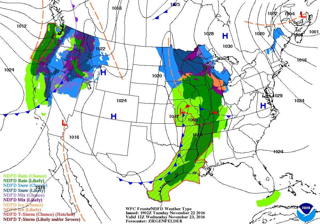
- Wednesday: Mostly sunny, highs in the mid 40’s. Winds from the west-northwest at 10-15 mph. Cloudy skies with freezing drizzle at night, lows in the lower 30’s.
- Thanksgiving Day: Freezing drizzle until 10 a.m. Drizzle and light showers the rest of the day, with highs in the lower 40’s. Winds from the northeast at 4-7 mph. Patchy fog and drizzle at night, lows in the upper 30’s.
Forecast Discussion:
Find out what's happening in East Providencefor free with the latest updates from Patch.
For some of us, we will be traveling out of Rhode Island, ahead of Thanksgiving. The weather will co-operate, with mostly sunny skies, and highs reaching the middle 40’s. During Wednesday night, a low moving out of the Great Lakes will bring increasing clouds with the risk of some precipitation. The precipitation will most likely me after midnight. Also, due to temperatures falling to freezing, some precipitation may fall as freezing drizzle. So, if you are driving early Thursday morning, please take precaution of the roads, as they may be slippery. By 10 a.m., the precipitation will change back to just drizzle and plain showers. Expect temperatures to warm into the lower 40’s. A new low pressure center forming off the Jersey coast early Friday morning will keep showers in the forecast. So, for those early morning Black Friday shoppers, you will see isolated showers and drizzle, with patchy fog developing after midnight. Look for low temperatures in the upper 30’s.
There will be some lingering drizzle and showers as we move into lunchtime on Friday. The low will begin to move into the Atlantic, but another low over the Northern Great Lakes will bring the risk for more drizzle and showers for the remainder of the day. Highs will reach the upper 40’s. We will see heavier precipitation during Friday night, as yet another new low pressure system forms south of Long Island Sound. This will bring scattered showers and light rain right into Saturday morning. Low temperatures will fall into the lower 40’s. Although the low’s center stays offshore of Cape Cod through Saturday, the models are indicating we may only see isolated showers and drizzle after 11 a.m. We will remain mostly cloudy for the rest of the day, with highs reaching 50. Skies will slowly clear Saturday night, as the low pushes into Newfoundland. Low temperatures will range in the upper 30’s.
Find out what's happening in East Providencefor free with the latest updates from Patch.
We will finally return to dry and sunny skies by Sunday, as high pressure over the Southeast U.S. brings ridging across New England. Look for highs in the upper 40’s. Look for partly cloudy skies Sunday night with lows in the middle 30’s. We will remain under the influence of the high into Monday evening, despite the center moving further into the Atlantic. Highs on Monday will reach the upper 40’s under sunny skies.
By Monday night, we will see increasing clouds, as a strong cold front moves into the Ohio River Valley. Look for low temperatures in the upper 30’s. A low pressure system with this front will come out of northeast Pennsylvania and move into northeast Massachusetts by next Tuesday evening. Look for showers and rain possible all of Tuesday, with highs in the lower 50’s.
Tropical Atlantic:
Finally, the Atlantic actually had a tropical system form in the last few days. Hurricane Otto was just Tropical Depression Sixteen as of 4 a.m. Monday morning. However, Otto remained quasi-stationary over some very warm waters. Satellite winds continued to show the system strengthening, and as of 4 p.m., the National Weather Service has now declared it a hurricane. Otto is centered about 235 miles east of Limon, Costa Rica. Maximum sustained winds are at 75 mph, and is moving west-northwest at 2 mph. The system is forecast to move into the border of Costa Rica and Nicaragua by 1 p.m. Thursday. It will have maximum winds near 80 mph once it makes landfall. The system will stay together long enough to move onto the western side of Mexico into the Pacific by early Friday morning. However, the system will weaken to just a tropical depression.
Jim Laurie is a local meteorologist who earned a B.S. in Meteorology at Lyndon State College in Lyndonville, VT. Jim has fifteen years of professional experience, with eight years in the field of marine meteorology.


