Weather
Rain Ends Tonight, But Winds Pick Up; Windy And Sunny Sunday
The rain that has brought close to an inch of rain stops tonight. However, the low will then create strong wind gusts into Sunday night.

Weather Forecast Discussion for Rhode Island on October 23, 2016
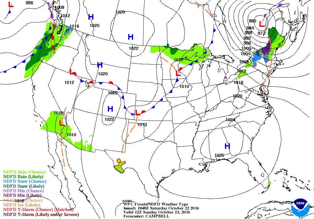
A strong low pressure system centering itself over southern Maine has left parts of Rhode Island with about an inch of rainfall. Officially, we have received 0.86 inches of rain since Friday at T.F. Green Airport in Warwick. We will continue to see periods of showers move over the Ocean State tonight, along with stronger winds.
The current radar shows a new band of showers and light rain moving up from the southwest towards Rhode Island. We will see the shower activity within the next three hours. Any rain will taper off after 8 p.m. as drier air moves in from the south. We will keep mostly cloudy skies through the overnight, with increasing winds. In fact, a Wind Advisory is in effect for all of Rhode Island from 8 p.m. until 2 p.m. Sunday. After 3 a.m., we will begin to see strong wind gusts around 35-45 from the west and west-northwest, thanks to a tight pressure gradient behind the low. Some limbs and branches may come down, and streets could become flooded, if the leaves are blocking the storm drains. Look for low temperatures tonight in the lower 40’s. We will keep some low clouds Sunday morning, before drier air begins to take over the entire state. However, it will remain quite windy. Despite the sunshine by the afternoon, high temperatures will only reach the upper 50’s. A quick moving disturbance may help create some isolated showers between midnight and 6 a.m. Sunday night. Otherwise, it will be partly cloudy, with lows only falling into the middle 40’s, thanks in part to the strong winds.
Find out what's happening in East Providencefor free with the latest updates from Patch.
Skies will become mostly sunny by the early afternoon on Monday, once the disturbance moves out to sea. It will still be breezy, but winds will continue to diminish through the overnight hours. Look for highs Monday to reach the upper 50’s, and lows to fall into the upper 30’s under clear skies. High pressure coming out of central Canada will bring sunny skies, but an upper-level trough over the Northeast U.S. will help keep temperatures below normal. High temperatures on Tuesday will try to reach the lower 50’s, with clear skies and frost conditions possible Tuesday night. Low temperatures will fall into the lower to middle 30’s due to clear skies and light winds. A Frost Advisory might be needed for areas where the growing season continues.
A much stronger high over Alberta, Canada will take over our weather pattern for Wednesday, but the conditions will barely change. We will keep mostly sunny skies, with highs in the lower 50’s.Partly cloudy skies are expected Wednesday night, with lows in the upper 30’s. On Thursday, we will see more clouds than sun by the afternoon, as a stalled low over the Ohio River Valley brings some moisture over the high pressure ridging that has been protecting us. Highs will only warm into the middle 50’s. By 7 p.m. Thursday evening, we will have a threat to seeing some scattered showers, as the high pressure ridge breaks down, allowing for the cold front associated with that low to move eastward. The American and European models keep the low stalled over Southern New England for Friday, so there is the chance for steady showers and light rain. The precipitation ends by about 8 p.m. Friday evening. Look for lows Thursday night to be in the lower 40’s, with highs Friday in the lower to middle 50’s. We will keep mostly cloudy skies Friday night, with lows in the middle 40’s.
Find out what's happening in East Providencefor free with the latest updates from Patch.
The models begin to diverge on their forecasts for next Saturday. The European model keeps high pressure to our south, keeping us dry. The American model pushes a strong low over northern New England by the middle of the afternoon, giving us showers and rain. Right now, the United Kingdom model follows the European model better, and I cannot ascertain how the American model develops and moves the low so quickly. For these reasons, I am siding on the European run, and giving us partly to mostly sunny skies for next Saturday. High temperatures will return to seasonable conditions, with highs near 60. Looking ahead to Halloween night, it appears the ghosts and goblins will have dry weather to trick-and-treat, as high pressure settles over the Mid-Atlantic region.
Jim Laurie is a local meteorologist who earned a B.S. in Meteorology at Lyndon State College in Lyndonville, VT. Jim has fifteen years of professional experience, with eight years in the field of marine meteorology.


