Weather
RI Weather: Coldest Air Of Season Arrives Thursday Night
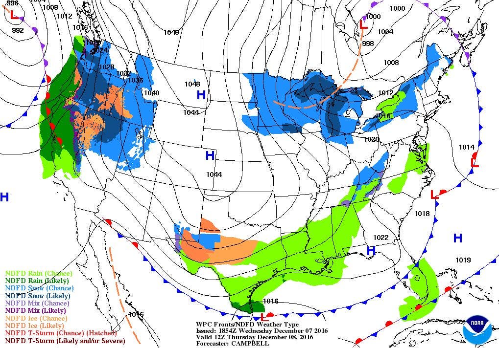
A polar front will begin to move into the eastern U.S. by Thursday afternoon. Temperatures may not reach freezing for highs on Saturday.

Weather Forecast & Discussion for Rhode Island on December 8, 2016
“The First Forty-Eight”
- Thursday: Mostly cloudy with highs in the middle 40’s. Winds W 7-11 mph. Partly cloudy skies overnight, with lows in the upper 20’s.
- Friday: Sunny and colder, with highs in the upper 30’s. WNW winds 10-15 mph with gusts of 25 mph. Clear skies and cold, with lows in the upper teens to lower 20’s.
Forecast Discussion:
Find out what's happening in East Providencefor free with the latest updates from Patch.
After a morning of showers and drizzle, we remain with a mix of sun and clouds. Low level moisture will remain over Southern New England for the next 24 hours, as a weak cold front moves across the region by the evening commute. The cloud cover tonight will keep low temperatures above freezing, reaching the middle 30’s. Despite a weak high pressure ridge building in from the southwest, we will keep partly sunny skies for Thursday. Temperatures will be about the same, reaching the middle 40’s during the day. Polar air will begin to move over New England by the mid-afternoon, and temperatures will begin to get colder into the weekend. Skies will be partly cloudy Thursday night, and lows will dip into the upper 20’s. It will become breezy on Friday, as winds reach 10-15 mph, and some gusts could reach 25 mph. High temperatures will struggle to reach the upper 30’s, making wind child feel like the lower 30’s. Skies become clear Friday night, and with breezy conditions and radiational cooling, temperatures will fall into the upper teens. With the wind chill, it will feel like the lower teens.
It doesn’t get any better as we move into Saturday. This will be the coldest day of the autumn season, despite sunny skies. High pressure will settle over Kentucky by noon, but temperatures will barely reach 30 degrees for highs. We keep clear skies for Saturday night, with lows in the upper teens to lower 20’s. We awake Sunday morning with increasing clouds, as we await a low pressure system moving into Michigan. The computer models are all different on the exact timing of precipitation. At this time, it seems we will begin to see some snow showers by sunset. We will continue to see snow showers through Sunday night, and there may be a little accumulation. However, a warm front will push through Southern New England from the south, changing the snow to a mix of rain and snow after 2 a.m. Lows will be near freezing, before slowly increasing into dawn.
Find out what's happening in East Providencefor free with the latest updates from Patch.
Showers will taper off during late Monday morning, before all precipitation ends by the early afternoon. Look for highs to reach the lower 40’s. There will be the slight chance for passing snow and rain showers Monday night, as the models see a cold front along the Canadian border and into the Great Lakes. There is the chance we might get clipped from the precipitation shield, before the front moves back into Canada. Otherwise, expect partly cloudy skies with lows in the upper 20’s. We return to mostly sunny skies on Tuesday, as high pressure over Ohio influences our weather. We will see highs in the upper 30’s. Skies will be partly cloudy Tuesday night, with lows in the middle 20’s. We will begin to see increasing clouds by Wednesday afternoon, with highs in the middle 30’s.
Jim Laurie is a local meteorologist who earned a B.S. in Meteorology at Lyndon State College in Lyndonville, VT. Jim has fifteen years of professional experience, with eight years in the field of marine meteorology.


