Weather
RI Weather: Milder Weather Arriving; Rain/Showers Wednesday & Thursday
After snow and brutal cold, we will now see extremely mild temperatures across the state. This mild weather lasts until the weekend.

Weather Forecast & Discussion for Rhode Island on January 11, 2017
“The First Forty-Eight”
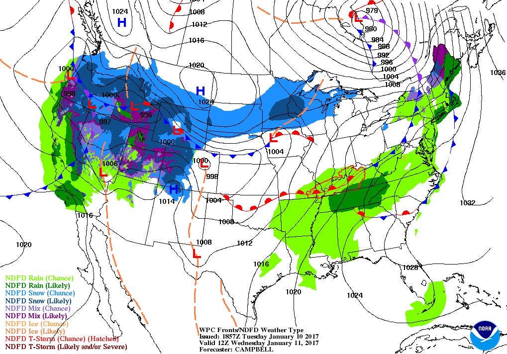
- Wednesday: Snow showers changing to rain in the early morning, tapering to showers at mid-morning. All showers end by noon, with partly sunny skies during the afternoon. Patchy fog will burn off by 11 a.m. Highs will be in the lower to middle 50’s with SSW winds of 11-14 mph. Lows in the upper 30’s.
- Thursday: Showers/ light rain arriving after midnight. Showers may lull after the late morning, and return by 1 p.m. Highs in the middle 50’s with SW winds of 10-14 mph. Showers end by midnight, with lows in the upper 30’s to lower 40’s.
Forecast Discussion:
Find out what's happening in East Providencefor free with the latest updates from Patch.
After some parts of Rhode Island seeing over a foot of snow this weekend, we had some extremely cold temperatures Monday morning. Some parts of the state saw temperatures fall to 7 below zero. However, as we move into the middle of the week, temperatures will begin to rebound to well above-normal temperatures. But, we will also see some wet weather.
At the moment, we have overcast skies over much of the state, due to a very strong low pressure system centered over Wisconsin. A warm front will bring some precipitation into the region after midnight. Now, the precipitation may start off as snow showers, before temperatures rise through the overnight. Once we reach the upper 30’s, the precipitation becomes just rain. Also, be careful for patchy fog, as warmer air will be moving over the snow pack still on the ground, creating this fog. Rain tapers to showers by the end of the morning commute, and we will see a slight lull. This is because the warm front has moved north, but the cold front to our west will bring another round of showers by early Thursday afternoon. The showers will remain until midnight, when high pressure ridging to our west build in over the area. High temperatures will be exceptionally mild, reaching the middle 50’s. We will not clear out too quickly Thursday night, meaning mostly cloudy skies into Friday morning, with lows in the lower 40’s.
Find out what's happening in East Providencefor free with the latest updates from Patch.
By Friday, a strong high pressure system will move over the Great Lakes. It will bring mostly sunny skies, but it will also bring colder air down from the north. Our high temperatures will be cooler, as the mercury only reaches the middle 40’s. We will return to cold temperatures Friday night, as the high moves over Northern New England Saturday afternoon. Lows will be in the upper teens. We will keep some sunshine through Saturday morning, before we see increasing clouds during the mid-morning and afternoon. A weak area of low pressure over Ohio will bring the risk for some snow showers. Any snow showers will end by 3 a.m. Sunday morning, as a weak high pressure ridge moves overhead. Look for highs Saturday in the upper 20’s, with lows in the lower 20’s.
A strong high pressure system in Quebec, Canada will bring mostly sunny skies for Sunday, with highs in the middle 30’s. The high will remain over Northern New England into Monday morning. This will provide us with partly cloudy skies Sunday night, with lows in the middle 20’s. We will start off Martin Luther King Jr. Day with some sunshine, but we will see increasing clouds through the afternoon. Showers will arrive after midnight Monday night, due to a low pressure system moving past Michigan. Overnight lows will be in the lower to middle 30’s. At this time, there should be enough warm air in the upper levels to keep the precipitation as rain. The shower activity may continue into next Tuesday, with temperatures warming into the middle 40’s.
Jim Laurie is a local meteorologist who earned a B.S. in Meteorology at Lyndon State College in Lyndonville, VT. Jim has fifteen years of professional experience, with eight years in the field of marine meteorology.


