Weather
RI Weather: Rain On Sunday; Dry But Cold Monday & Tuesday
A cold front will bring rain showers and colder air for the rest of Sunday. The weather improves Monday, but temperatures will be colder.

Weather Forecast & Discussion for Rhode Island on December 19, 2016
“The First Forty-Eight”
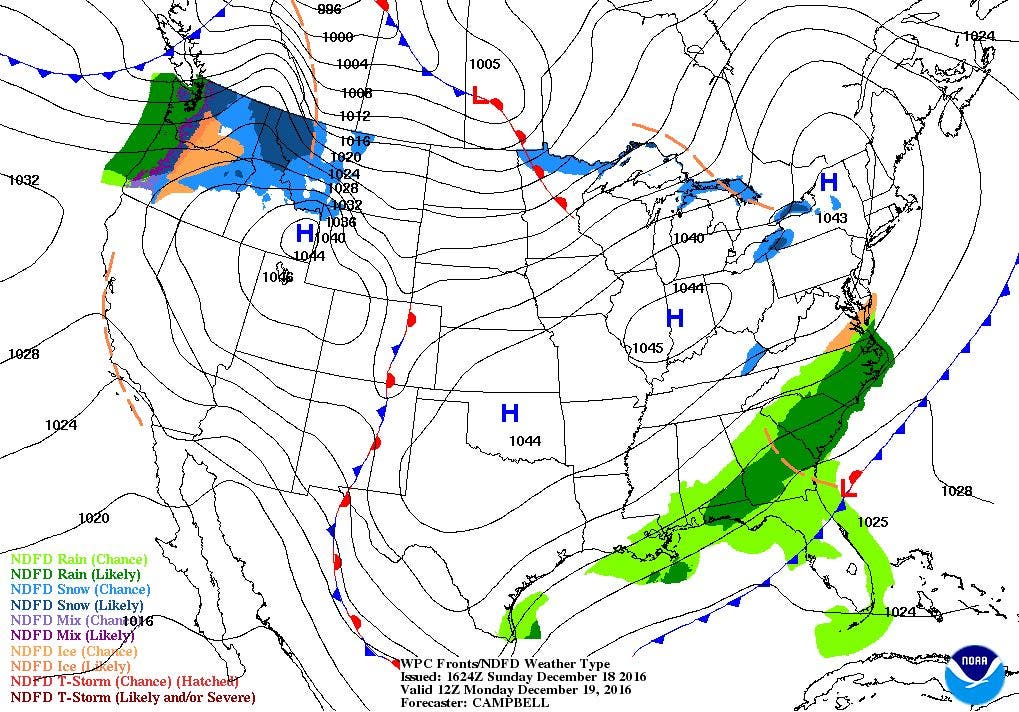
- Monday: Mostly sunny with below normal temperatures. Highs will be near 30, with NNW winds of 8-11 mph. Clear skies Monday night, with lows in the middle teens.
- Tuesday: Sunny skies with highs in the middle 30’s. Winds turn to the SSW at 6-9 mph. Partly cloudy Tuesday night and not as cold. Lows will be in the upper 20’s.
Forecast Discussion:
Find out what's happening in East Providencefor free with the latest updates from Patch.
We didn’t see high accumulations across the Ocean State on Saturday, but places in northwest Providence did receive up to 5 inches. As you moved further south, accumulations were lighter. With temperatures rising through the evening, most of that snowpack will probably be melted by this evening.
So, temperatures will stay in the middle to upper 50’s until this afternoon, until a cold front begins to make its way through Southern New England. Rain showers will begin by 2 p.m., and end by 8 p.m. Skies will slowly clear this evening, as high pressure ridging builds in from the west. Look for lows to fall into the upper teens. The high will settle over Southern New England for Monday, giving us mostly sunny skies with highs near 30 degrees. Skies will be clear Monday night, with lows falling into the middle teens.
Find out what's happening in East Providencefor free with the latest updates from Patch.
Although the high over us dissipates by Tuesday morning, high pressure over the Southeast U.S. will keep us under dry conditions. Also, winds will turn more to the south-southwest, allowing for warmer air to return into the region. We will keep sunny skies on Tuesday, with highs slowly increasing into the middle 30’s. A little more moisture north of us will bring a few fair weather clouds Tuesday night. We will have partly cloudy skies, but this will keep temperatures from falling as rapidly. Expect low temperatures to only be in the middle to upper 20’s. We will be influenced by a high over North Carolina by Wednesday, giving us mostly sunny skies with highs in the middle 40’s. Skies will begin to see increasing clouds Wednesday night, ahead of some precipitation for Thursday. Low temperatures will be near 30 degrees.
By Thursday morning, a low pressure system centered over eastern Michigan may bring a few snow showers during the mid-morning. By then, temperatures will warm into the middle 40’s, changing any precipitation over to rain. The risk for precipitation increases Thursday night, as the cold front pushes through by 7 p.m. Any rain showers ma end as snow showers after midnight. Look for lows Thursday night in the middle 30’s. The weather looks good for the kids being out of school, or for adults who may be travelling to their Christmas destinations. Clouds in the morning will give way to mostly sunny skies, with highs in the middle 40’s. Skies will be clear Friday night, with lows in the upper 20’s.
A strong high pressure system will keep us under dry conditions for Christmas Eve, with sunny skies and highs in the middle 40’s. The weather remains nice for Christmas Mass Saturday night, and for Santa Claus, once he arrives on his sleigh. Temperatures will be in the middle 20’s. Finally, for Christmas Day, we will see some sunshine in the morning, with increasing clouds in the afternoon. We will see some showers arrive by Sunday night, with lows in the middle 30’s.
Jim Laurie is a local meteorologist who earned a B.S. in Meteorology at Lyndon State College in Lyndonville, VT. Jim has fifteen years of professional experience, with eight years in the field of marine meteorology.


