Weather
RI Weather Forecast: Nor'easter Inbound Thursday
But will warmer temperatures keep us from seeing much snow?

Weather Forecast & Discussion for Rhode Island on December 27, 2016
“The First Forty-Eight”
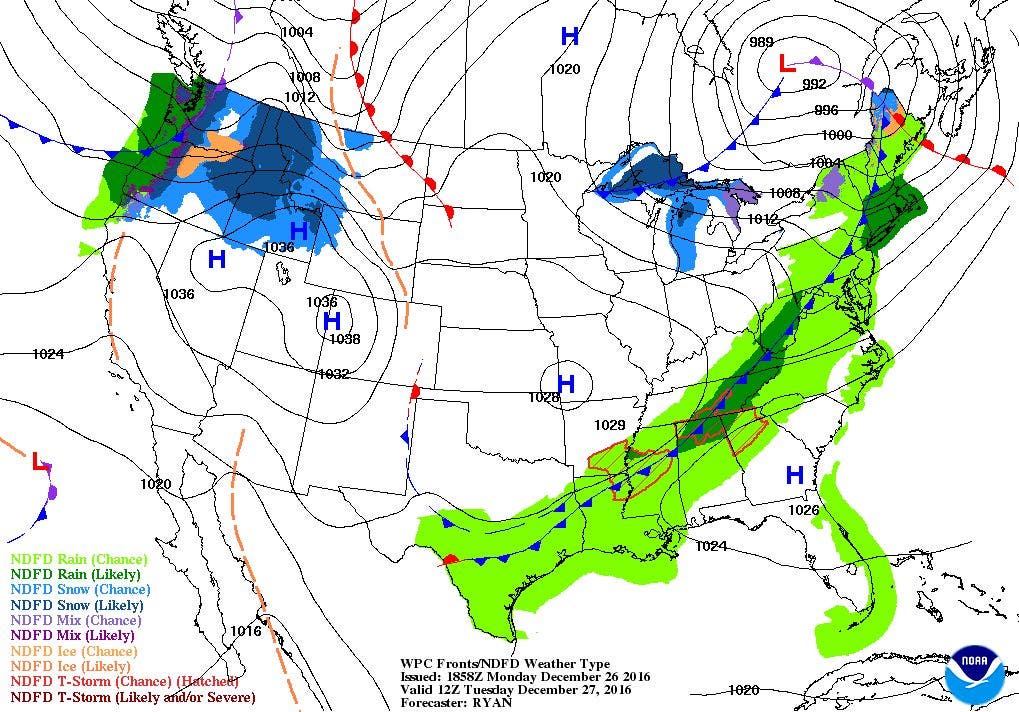
- Tuesday: Showers and light rain through the mid-morning, tapering off by the late morning. Partly sunny to mostly cloudy skies for the afternoon. Highs will be in the middle 50’s, with WSW winds of 13-17 mph, with gusts near 35 mph. Partly cloudy skies Tuesday night, with lows in the upper 20’s.
- Wednesday: Mostly sunny and colder, with highs in the upper 30’s. Winds will come from the northwest at 8-11 mph. Increasing clouds expected before dawn, with lows in the upper 20’s.
Forecast Discussion:
Find out what's happening in East Providencefor free with the latest updates from Patch.
I hope everyone enjoyed their Christmas Day, and still enjoying the days of Hanukkah. The weather definitely cooperated on Sunday, although the roads were a little slick Christmas Eve night. We now have overcast skies, as we await moisture coming in from the west.
We may even see partial sunshine for the rest of the afternoon, as we await a cold front. Temperatures will also be falling through the afternoon. Look for highs in the middle 50’s, falling into the lower to middle 40's by the evening commute. We will see clear to partly cloudy skies for Tuesday night, with lows in the upper 20's. High pressure will center itself over Kentucky Wednesday afternoon, giving us mostly sunny skies. Unfortunately, we return to northwest winds, dropping our high temperatures back into the upper 30’s. The high quickly moves offshore Wednesday night, allowing for some increasing clouds before sunrise Thursday morning. We will have lows in the upper 20’s.
Find out what's happening in East Providencefor free with the latest updates from Patch.
On Thursday, a low pressure system will center itself over eastern-central Canada. But, the cold front will move towards the coastline. We will see the precipitation start off as snow showers, starting around noon. A second low pressure center will form off Long Island Sound by the early afternoon, helping to enhance the precipitation. At this time, it appears we will stay on the warm side of the system, changing our precipitation to rain by the early afternoon. However, the precipitation will return to some snow showers during the late evening. High temperatures are forecast to reach the lower 40’s. The low rapidly moves into the Gulf of Maine Thursday night, and any precipitation ends by 2 a.m. Skies will remain mostly cloudy, but temperatures will fall into the lower 30’s. At this time, we are only looking at a coating to an inch of snow in the Providence area, with 1-3 inches possible north and west of I-295. A weak area of high pressure ridging will bring partly sunny skies for Friday, with highs in the middle to upper 30’s. We will see partly to mostly cloudy skies Friday night, with lows in the middle 20’s.
New Year’s Eve will begin with sunny and colder temperatures, as the mercury only reaches the lower to middle 30’s. But, we will see increasing clouds into the early evening, thanks to a low to the west. A low pressure system passing the eastern Great Lakes may bring a few snow showers by 8 p.m., and continue into the early beginnings of 2017. Look for lows in the middle 20’s after midnight. We may see some snow showers through Sunday morning, before changing to rain showers for the afternoon. Any showers would end by 3 p.m. High temperatures will reach the lower to middle 40’s. High pressure over Quebec will bring partly cloudy skies Sunday night, with lows near 30.
Finally, as we look at the 2nd day of 2017, we will begin with partly sunny skies Monday morning. However, the computer models do suggest a strong low in the Central Plains will bring more rain by the evening commute. Look for highs in the middle 40’s, with lows Monday night staying above freezing.
Jim Laurie is a local meteorologist who earned a B.S. in Meteorology at Lyndon State College in Lyndonville, VT. Jim has fifteen years of professional experience, with eight years in the field of marine meteorology.


