Weather
RI Weather New Year Forecast: Snow/Rain Ushering in 2017
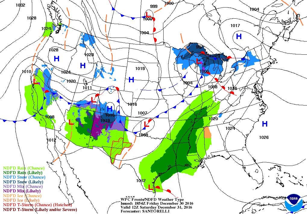
It will be wet as midnight approaches Saturday night. A few snow showers may mix with rain. Heavier rain is expected as we move into 2017.

Weather Forecast & Discussion for Rhode Island on December 31, 2016
“The First Forty-Eight”
- Saturday: Sunny in the morning, with increasing clouds in the afternoon. Highs in the upper 30’s to lower 40’s, with SSW winds at 10-13 mph. Rain showers after midnight, may mix with some snow showers before precipitation ends by 5 a.m. Lows in the middle 30’s.
- Sunday: Sunny by the late morning, with highs in the lower 40’s. Winds from the WNW at 6-9 mph. Clear skies at night, with lows in the upper 20’s.
Forecast Discussion:
Find out what's happening in East Providencefor free with the latest updates from Patch.
At the moment, high pressure over Louisiana is giving us mostly sunny conditions. However, a strong low pressure system moving into the Canadian Maritimes is giving us strong northwest winds of 15-20 mph and occasional gusts of 35 mph. A Wind Advisory remains in effect for northwest Providence County until 5 p.m. This low will continue to move northward by this evening helping to further diminish the winds. We will see clear skies, and lows will fall into the lower to middle 20’s.
We will start the last day of 2016 with sunny skies in the morning, but clouds will be increasing through the afternoon. Look for highs to reach the upper 30’s, with a few lower 40’s near the south shore. The cloud cover will be due to a fast moving low pressure system that will be over southwestern Quebec by 10 p.m. We will begin to see a few raindrops by this time, and remaining this way as we welcome 2017. There may be a mix of rain and snow showers by 2 a.m., but all precipitation will end by 5 a.m. Lows will be in the middle 30’s. The sun will return by the late morning on Sunday, as high pressure ridging moves back over the Ocean State. Look for highs in the lower 40’s, with clear skies Sunday night with lows in the upper 20’s.
Find out what's happening in East Providencefor free with the latest updates from Patch.
Skies will begin to see increasing clouds by the middle of Monday morning, as moisture from the south works its way north. A weak low forming off of Cape Hatteras, North Carolina will bring the chance for more rain showers after 2 p.m. Look for highs in the lower 40’s, with more widespread showers and light rain Monday night. Temperatures will only fall into the middle 30’s, keeping the precipitation as rain. As we return to work and kids return to school from their long vacation on Tuesday, the rain will continue, and may be heavy at times during the afternoon. There may also be some patchy to dense fog during the mid and late mornings. Temperatures will rise into the upper 40’s. Rain will taper to showers by 8 p.m., as the cold front makes its way through Rhode Island. Showers will end by 2 a.m. Wednesday morning. Skies, however, will remain mostly cloudy through the night. Low temperatures will remain mild, only falling into the lower 40’s.
Drier air will slowly move back over the region Wednesday afternoon, so we will see more clouds than sun. Temperatures will reach the upper 40’s by the late morning, but fall through the afternoon, as colder air pushes into New England. West winds off the Great Lakes will keep mostly cloudy skies over the state Wednesday night, with lows in the upper 20’s.
Skies will begin to clear as enter the morning commute on Thursday. However, colder air from the north will return, as the mercury only rises into the middle 30’s for highs. The skies will begin to cloud up Thursday afternoon, as moisture from the south moves northward. The high pressure system moves offshore Thursday night, allowing for a low pressure system over Tennessee to begin influencing our weather. We may begin to see some snow showers before midnight. As the low tracks northeast, Providence will be right on the snow/rain line for Thursday night. This means a mix of rain and snow for Rhode Island for next Friday. Looking at the other models, it appears the low stays well to our south. This would mean the precipitation would stay as snow through much of the state. However, many models may keep this system well south of us, meaning we would see little if any precipitation. I will keep an eye on the models over the next few days, and update you once again in my next update.
Jim Laurie is a local meteorologist who earned a B.S. in Meteorology at Lyndon State College in Lyndonville, VT. Jim has fifteen years of professional experience, with eight years in the field of marine meteorology.


