Weather
RI Weather: Snow/Rain Showers Thursday; No White Christmas
Skies will remain sunny and dry on Wednesday, with temperatures slowly moderating. Our next chance for precipitation will be Thursday.

Weather Forecast & Discussion for Rhode Island on December 21, 2016
“The First Forty-Eight”
- Wednesday: Mostly sunny and milder, with highs in the lower 40’s. Winds will come from the WNW at 8-11 mph. Mostly cloudy skies at night, with lows in the upper 20’s.
- Thursday: Overcast with the chance for snow showers during the mid-morning. Any precipitation changes over to rain showers by 11 a.m. Precipitation ends by 5 p.m. Highs will be in the middle 40’s with WSW winds at 7-10 mph. Skies become partly cloudy during the overnight, with lows near 30.
Forecast Discussion:
Find out what's happening in East Providencefor free with the latest updates from Patch.
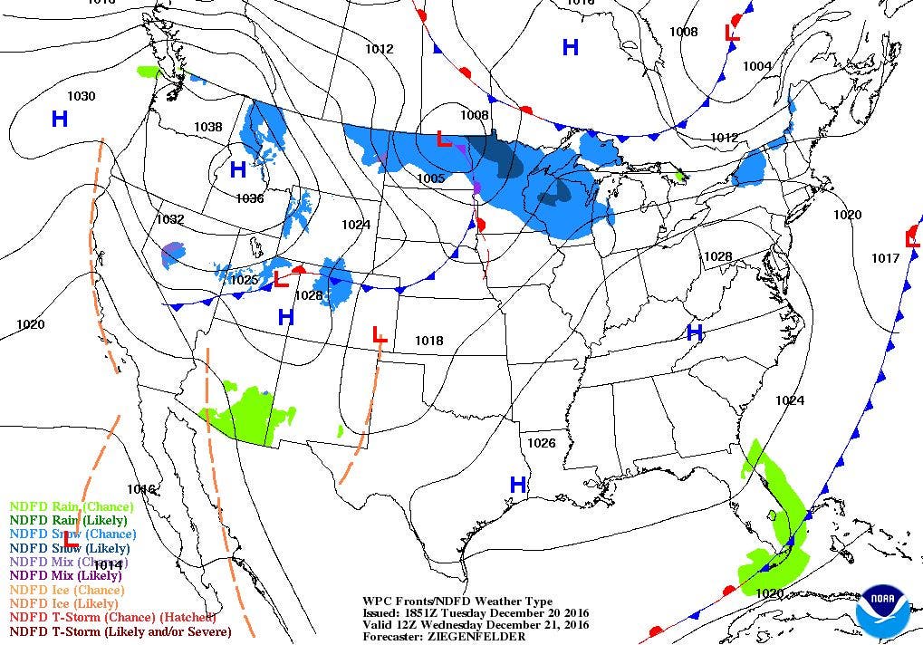
Some colder air aloft, along with a weak disturbance moving into eastern Canada, helped create some mid-level clouds during the afternoon. We will see mostly cloudy skies by this evening, thanks in part to that disturbance moving further east. Lows tonight will be in the middle 20’s. By tomorrow morning, that disturbance will kick out of New England, and be followed by a ridge of high pressure. We will return to mostly sunny skies, and temperatures will be slightly warmer, reaching the lower 40’s. However, we return back to mostly cloudy skies during the overnight, thanks to a fast moving area of low pressure. It will remain dry, with lows in the upper 20’s.
The low’s center will be heading into northern New York by Thursday morning. We will keep overcast skies, with the chance of seeing some scattered snow showers, especially in the northern and central part of the Ocean State. Temperatures will warm into the lower 40’s, allowing any precipitation to change over to rain showers. Showers taper off by the evening commute, as the cold front moves well offshore. High pressure moving into Illinois will bring partly cloudy skies for Thursday night, with lows near 30.
Find out what's happening in East Providencefor free with the latest updates from Patch.
The high will continue to control our weather into Friday, giving us sunny skies and highs in the lower 40’s. The high will move out into the Atlantic by Friday night, but we will remain under clear skies, with lows in the upper 20’s.
Sadly, we will not be seeing a White Christmas this year. In fact, temperatures will be above normal for this time of the month. Winds will turn to the southwest, allowing warmer air from the south to filter into Southern New England. We will begin Christmas Even with sunny skies, and temperatures climbing into the upper 40’s. By Saturday night, we return to mostly cloudy skies, thanks in part to moisture coming from the south, as well as a low pressure system staying over Canada. Expect lows near freezing. High pressure ridging coming down from Canada will bring back sunny skies Christmas morning, with highs in the lower 40’s. Skies remain clear until midnight, as some low level moisture helps to create mostly cloudy skies Sunday night. Look for lows in the lower 30’s.
As we return the gifts we did not want on Monday, the high pressure ridge will break down, keeping us under mostly cloudy skies. A very strong low pressure system moving out of Minnesota into central Canada will bring some rain showers by 8 p.m. that evening. Highs will reach the middle 40’s. Showers will continue into the overnight, with the cold front passing through the state by 4 a.m. Lows Monday night will be in the upper 30’s. We will keep showers in the forecast until 11 a.m. Tuesday morning. By then, the precipitation moves to our east, and high pressure ridging will begin to influence our weather. We will see mostly sunny skies by the early afternoon, with highs in the middle to upper 40’s. However, expect temperatures to slowly fall through the mid-afternoon.
Jim Laurie is a local meteorologist who earned a B.S. in Meteorology at Lyndon State College in Lyndonville, VT. Jim has fifteen years of professional experience, with eight years in the field of marine meteorology.


