Weather
RI Weather: Snow Showers Possible Tonight; Milder Temperatures Expected Next Week
A low to our south will bring the risk for snow showers within the next few hours. We return to mostly sunny skies for Sunday and Monday.

Weather Forecast & Discussion for Rhode Island on January 14, 2017
“The First Forty-Eight”
- Saturday: Mostly cloudy with snow showers expected by 6 p.m., but end by 10 p.m. Up to an inch of snow is possible along the south coast, with maybe a half inch up to Warwick. Highs will be in the lower 30’s, with clearing skies tonight and lows in the middle 20’s. Winds will be from the northwest at 7-10 mph after midnight.
- Sunday: Sunny skies with highs in the upper 30’s. Winds will come from the NNW at 7-10 mph. Clear skies and colder at night, with lows falling into the upper teens.
Forecast Discussion:
Find out what's happening in East Providencefor free with the latest updates from Patch.
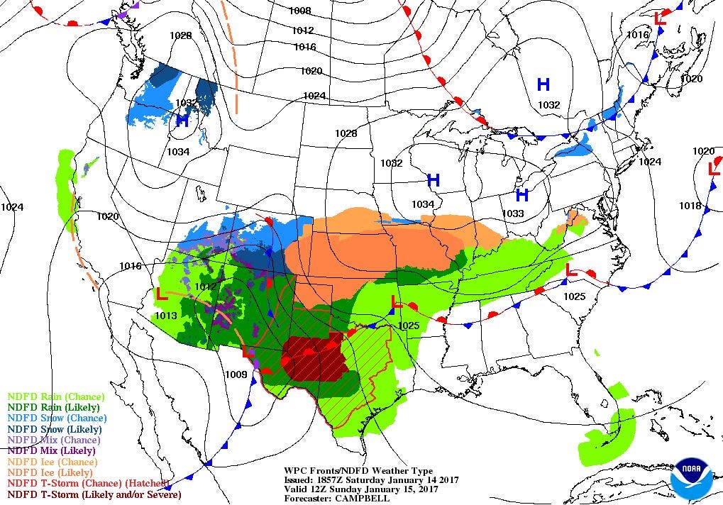
High pressure over Massachusetts is giving us dry weather over the Ocean State, but low level moisture is keeping stratus clouds in the skies. The moisture is coming from a frontal boundary producing rain and snow from Indiana to New Jersey. Although most of the precipitation will remain to our south, we will see the possibility of some snow showers by the early evening. As you move north, though, the precipitation will become lighter, with just flurries expected over Providence. Any snowfall will end before midnight, and accumulations will be light, with at most an inch along the south coast, and a half-inch near Warwick. Skies slowly clear after midnight, as high pressure ridging builds in from the west. Look for lows to only fall into the middle 20’s.
The high pressure system will slowly move over the Mid-Atlantic by Sunday night. We will see sunny skies for Sunday, with highs in the upper 30’s. Clear skies are expected Sunday night, and it will be colder, with lows in the upper teens. The high will slowly slide off into the Atlantic by Monday night. However, we will see sunny skies on Martin Luther King Jr. Day, with highs near 40. Skies will become partly cloudy Monday night, with lows in the upper 20’s.
Find out what's happening in East Providencefor free with the latest updates from Patch.
We will wake up to mostly cloudy skies on Tuesday, as a low pressure system over Ohio brings the chance for rain by the early afternoon. The precipitation may intensify Tuesday night, as the warm front associated with this low moves slowly northward. There is the slight chance the precipitation becomes a freezing rain during the morning commute on Wednesday. Highs on Tuesday will be in the lower 40’s, with lows in the middle 30’s. Any freezing rain during the overnight becomes just rain by 6 a.m. Wednesday morning, as the warm front pushes through Southern New England. Rain tapers to showers by the late morning, before all precipitation ends by the start of the evening commute. High temperatures on Wednesday will be near 50. Skies remain mostly cloudy Wednesday night, as the backside of the low will keep low level moisture over Rhode Island. There may be enough moisture to create a scattered shower during the overnight hours. Look for lows Wednesday night to be near 40 degrees.
By Thursday, a high pressure ridge from north to south will slowly move over New England. This will help us return to sunny skies, and keep the mild temperatures. Look for highs on Thursday to be near 50. Partly cloudy skies are expected Thursday night, with lows in the middle 30’s. We will see mostly sunny skies on Friday, with highs near 50. Friday night will remain partly cloudy, with lows in the middle 30’s. Looking ahead to next Saturday, we will see partly to mostly sunny skies, with highs in the upper 40’s. We may see a few showers during next Saturday night, with lows in the upper 30’s.
Jim Laurie is a local meteorologist who earned a B.S. in Meteorology at Lyndon State College in Lyndonville, VT. Jim has fifteen years of professional experience, with eight years in the field of marine meteorology.


