Weather
Scattered Showers Wednesday; Possible Showers Friday; Colder Temperatures Saturday
We will have some scattered showers move through Rhode Island Wednesday. It will become colder Saturday, with below normal temperatures.

Weather Forecast Discussion for Rhode Island on November 9, 2016
The weather will hold up well for those who have not had the opportunity to go to the voting stations. High pressure over Georgia is giving us the nice, mild weather for Tuesday. We will keep clear skies for all of Rhode Island, although eastern and southeastern Massachusetts may see some patchy fog. We will have some low level moisture move in tonight, helping to increase the dewpoint temperatures. Low temperatures here in Rhode Island will fall into the upper 30’s to near 40 degrees.
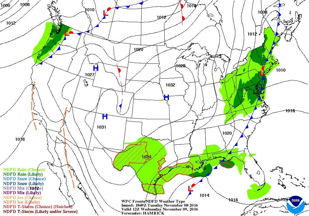
We will see increasing clouds by sunrise, as we await an approaching cold front moving into the Mid-Atlantic. We will see some isolated showers by the mid-morning, with scattered showers by the mid-afternoon. All precipitation ends after 9 p.m. We will see highs in the upper 50’s, with lows falling into the middle 30’s before sunrise. Skies will slowly clear after midnight, allowing for temperatures to fall more rapidly. High pressure ridging from the southwest will once again bring sunny skies back for Thursday, with highs in the lower to middle 50’s. We keep clear skies Thursday night, with lows in the lower 40’s.
Find out what's happening in East Providencefor free with the latest updates from Patch.
For Veteran’s Day, we will begin with sunny skies, but it will become breezy. A dry cold front will come through by the evening commute, helping to tighten the pressure gradient. We may also see increasing clouds through the afternoon, as there will be some low-level moisture. We may even see an isolated shower. Look for highs to reach the middle 50’s. Colder air behind the front will linger over Southern New England on Saturday. We will feel some colder temperatures, as highs only reach the middle 40’s. Temperatures fall into the lower 30’s for Saturday night under clear skies.
Temperatures will rebound on Sunday as a strong upper-level trough moves over the Atlantic, and surface winds shift to the southwest. We will remain under mostly sunny skies, but highs will rise into the lower 50’s. Skies remain clear Sunday night, with lows in the middle 30’s. We will remain under the high’s influence into next Tuesday night, keeping mostly sunny skies. High temperatures will be in the upper 50’s, with lows near 40 degrees.
Find out what's happening in East Providencefor free with the latest updates from Patch.
Jim Laurie is a local meteorologist who earned a B.S. in Meteorology at Lyndon State College in Lyndonville, VT. Jim has fifteen years of professional experience, with eight years in the field of marine meteorology.


