Weather
Showers, thunderstorms tonight; sunny and still hot for rest of week; temperatures cool by early next week
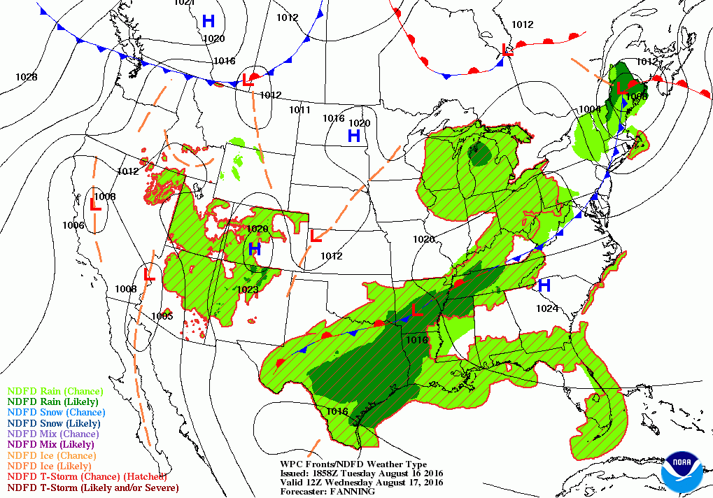
A warm front is helping to trigger showers and thunderstorms right now. A cold front tonight will create more precipitation into Wednesday.

Weather Forecast Discussion for Rhode Island on August 17, 2016
At the moment, a warm front working its way through northwest Massachusetts has been helping to produce scattered showers and light to moderate rain across Southern New England. As we move into this evening, the low pressure center will continue to push into northern Maine. The cold front associated with this system will move through the Ocean State this evening. So, we may see an increased risk for showers, rain (heavy at times), and isolated thunderstorms with lightning. With dewpoints in the middle 70’s, low temperatures will only fall into the middle to upper 70’s. All precipitation should end by 4 a.m.
Moving into Wednesday, we will see increasing sunshine through the morning and afternoon. Also, you will notice the humidity will be lowering, thanks in part to northwest winds. But, it will still feel a little muggy. High pressure ridging overhead will influence our weather, and daytime high temperatures will reach the upper 80’s. Thanks to an upper level ridge over the eastern U.S., we will be keeping above normal temperatures right into early next week. We will keep partly cloudy skies for Wednesday night, with lows in the middle to upper 60’s. We will keep the weather conditions the same entering Thursday. A weak disturbance near the south coast may create a widely isolated shower for Thursday night; otherwise, most of the state will see partly cloudy skies. Low temperatures will near 70, thanks to the increased cloud cover and slightly higher humidity.
Find out what's happening in East Providencefor free with the latest updates from Patch.
High pressure ridging will continue to remain over Southern New England into Friday, and we will keep sunny skies with highs in the upper 80’s. A weak high pressure center will travel over New England Friday night, keeping us under clear to partly cloudy skies. We may see some patchy fog develop before sunrise Saturday morning, as the dewpoint temperatures and air temperature will be very close to one another. Look for low temperatures in the upper 60’s. That fog will burn off by the mid-morning on Saturday, and we will return to mostly sunny skies. High temperatures will reach the middle to upper 80’s. We will keep partly cloudy skies for Saturday night, with lows in the upper 60’s. Once again, we may see patchy fog before sunrise, and burn off by mid-morning on Sunday.
As we enter Sunday, the high pressure ridging will begin to break down, as the high pressure center moves towards Greenland. We will keep mostly sunny skies for Sunday, as the ridge holds firm. High temperatures are predicted to reach the middle 80’s. By Sunday night, low-level clouds will move over the dissipating ridge, prompting for overcast skies. Low temperatures will be near 70. A cold front is expected to pass through the region around 3-5 p.m. on Monday. Look for possible showers and isolated thunderstorms by noon, and continuing into Monday evening. Look for highs to reach the middle 80’s. The computer models are disagreeing on whether the front lingers over Rhode Island on Tuesday, or to move it east. After reviewing the United Kingdom model, it already has the cold front over Rhode Island on Monday. This is keeping consistency more with both models, but it also shows a weak low off the coast of North Carolina being blocked. This tells me the high will set up a blocking pattern, which the European model is not showing at the moment. So, precipitation will linger into Tuesday. Expect lows Monday night in the upper 60’s. We will see lingering showers and possible light to moderate rain into Tuesday morning. There is the slight chance that weak low will remain stationary, so precipitation may continue into all of next Tuesday. For now, let’s call it wet and overcast with highs in the lower 80’s.
Find out what's happening in East Providencefor free with the latest updates from Patch.
Jim Laurie is a local meteorologist who earned a B.S. in Meteorology at Lyndon State College in Lyndonville, VT. Jim has fifteen years of professional experience, with eight years in the field of marine meteorology.


