Weather
Thanksgiving, Black Friday Weather Preview
Late autumn has now arrived. The colder air may make rain showers change over later tonight. Winds will not diminish until Wednesday.

Weather Forecast Discussion for Rhode Island on November 21, 2016
Hope you enjoyed the warm weekend, because a blast of colder air will linger over the Ocean State through midweek. Skies will slowly clear for Tuesday and Wednesday, but the weather pattern looks quite unsettled as we enter the long holiday weekend.
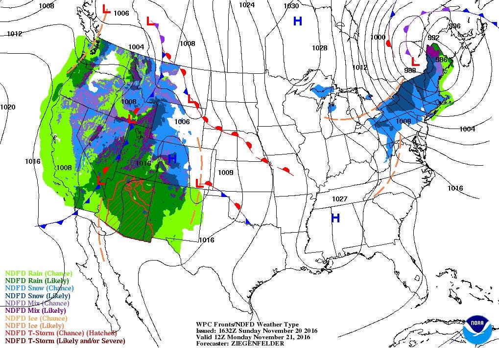
The crucial weather feature this low will make is strong winds. You can probably hear the wind gusts outside, and a Wind Advisory is in effect for Rhode Island from 11 a.m. Sunday until 7 p.m. Monday.
Find out what's happening in East Providencefor free with the latest updates from Patch.
For Monday, we will keep some isolated snow showers in the forecast, especially during the morning hours. As we move into the afternoon, most of the precipitation will stay to our northwest or east. So, we will keep overcast skies, with the winds still gusting near 45 mph. High temperatures will struggle to reach the lower 40’s. The low slowly moves into northern Maine Monday night, so the chance for any precipitation becomes slim. But, we will keep strong winds and overcast skies, with lows in the lower 30’s. High pressure ridging from the southwest will slowly clear our skies on Tuesday, giving us mostly sunny skies by the late morning. Wind gusts will decrease to 30-35 mph, and highs will only reach the lower 40’s. The pressure gradient relaxes on Tuesday night, further diminishing winds. But, with clear skies, it will remain cold, with lows in the upper 20’s to lower 30’s.
The high pressure center remains to our southwest on Wednesday, but it will provide us with sunny skies. So, it will be nice weather for travelling, if you are catching a flight or driving to reach your Thanksgiving destination. Highs will reach the middle 40’s. It will become cloudy Wednesday night, as a low pressure system over Michigan brings us some low level moisture. There may be an isolated shower after 4 a.m., with lows falling to the lower to middle 30’s. We will keep scattered showers in the forecast for Thanksgiving Day, with some heavier rainfall possible by the afternoon. Daytime highs will reach the upper 40’s. A new low will form off of Long Island, which will continue to give us scattered showers, so the weather will be wet for the shoppers for Thanksgiving night or early Friday morning. Look for lows early Friday morning to be near 40 degrees.
Find out what's happening in East Providencefor free with the latest updates from Patch.
Black Friday appears to be in question, if you compare the different weather models. The American model has the low in question from early Friday morning moving away from us through the morning. But, the European model has the low leaving, but a new low forming over Virginia will keep possible showers over the area. Right now, the models I have seen are consistent in seeing some dry weather, especially through the day. So, for now, I will call most of Black Friday dry, but with overcast skies. High temperatures will return to normal, as the mercury reaches the lower 50’s. A weak disturbance to our west will bring more isolated showers after midnight, with lows in the lower 40’s.
The low will move offshore for Saturday, but there is still the chance for passing showers through the day. We may see a little sunshine before the daytime hours end. Highs will reach the upper 40’s. Winds from the north may keep sunshine limited for next Sunday, especially in the morning. We may see increased sunshine by the afternoon, as a high pressure ridge pushes into New England. High temperatures will reach the upper 40’s.
Jim Laurie is a local meteorologist who earned a B.S. in Meteorology at Lyndon State College in Lyndonville, VT. Jim has fifteen years of professional experience, with eight years in the field of marine meteorology.


