Weather
RI Weather Forecast: Long Veterans Day Weekend Outlook
The extra weekend day will be nice, but breezy. Colder air arrives Friday night, making for some below normal temperatures on Saturday.

Weather Forecast Discussion for Rhode Island on November 11, 2016
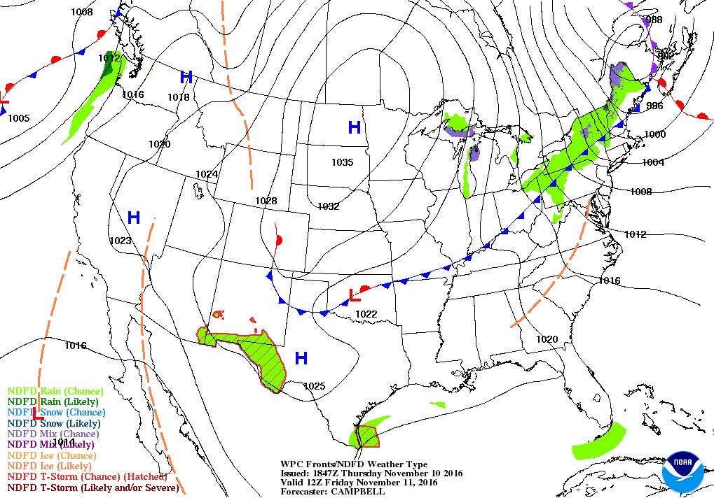
High pressure ridging from the south helped give Rhode Island another beautiful day of bright sunshine. At the moment, there are no real potential storm systems moving over Southern New England. We will feel stronger winds from the northwest at 12-15 mph during Veteran’s Day, as a low pressure system over Canada tightens the pressure gradient. Daytime highs will reach the upper 50’s after seeing low temperatures in the lower to middle 40’s tonight.
Despite the sunshine, a cold front will push through the region between 9 a.m. and 11 a.m. This will help bring colder air for Friday night, as low temperatures fall into the upper 20’s. Also, expect the strong breezes to continue. Daytime highs will be about 12-14 degrees colder on Saturday, despite the abundant sunshine. However, winds will begin to diminish through the morning, as the pressure gradient relaxes. Low temperatures Saturday night will fall into the middle 30’s. Winds will turn back to the southwest on Sunday, helping to warm our temperatures into the middle 50’s under sunny skies. Low temperatures fall into the upper 30’s Sunday night.
Find out what's happening in East Providencefor free with the latest updates from Patch.
By Monday, a weak disturbance in the upper levels of the atmosphere will give us partly sunny skies, with highs in the middle to upper 50’s. If the disturbance stays over Southern New England, we may see a stray shower during Monday night, especially over the south coast. The European model and American model are in complete disagreement when we enter Tuesday morning. The European model creates a stronger surface low that stays off the coast of Long Island. Meanwhile, the American model just has a few isolated showers staying well south of northern Rhode Island. For now, I will call for partly sunny skies Tuesday, as I feel the European model is looking at a low in the upper-levels, not at the surface. High temperatures will reach the middle 50’s. Dry air from the west will give us partly cloudy skies Tuesday night, with lows near 40.
By Wednesday, the models are expecting an upper-level low to dig into the Southeast U.S. and off the Atlantic coastline. This will help create a strong low pressure system at the surface off the coast of North Carolina. Depending on where the center of the low forms, we may see some isolated showers between 4 and 7 p.m. Showers may become scattered to widespread, depending on the track of the low. Showers may continue into next Thursday morning, before high pressure pushes the low out to sea. Skies become mostly sunny by the mid-afternoon. Highs on Wednesday will reach the lower 50’s, with lows in the lower 40’s. Highs will reach the middle 50’s on Thursday before sunset.
Find out what's happening in East Providencefor free with the latest updates from Patch.
Jim Laurie is a local meteorologist who earned a B.S. in Meteorology at Lyndon State College in Lyndonville, VT. Jim has fifteen years of professional experience, with eight years in the field of marine meteorology.


