Weather
Very Cold Temperatures Expected Tonight; Warming Up Over Weekend
We will see some of the coldest temperatures so far across northern Rhode Island. Temperatures will rebound as we move through the weekend.

Weather Forecast Discussion for Rhode Island on October 15, 2016
With temperatures reaching the lower to middle 40’s last night, the mercury rebounded nicely Friday afternoon, with highs in Providence reaching the lower 60’s. However, we will need some blankets and boilers to turn on tonight, as much of the region will see frigid temperatures tonight.
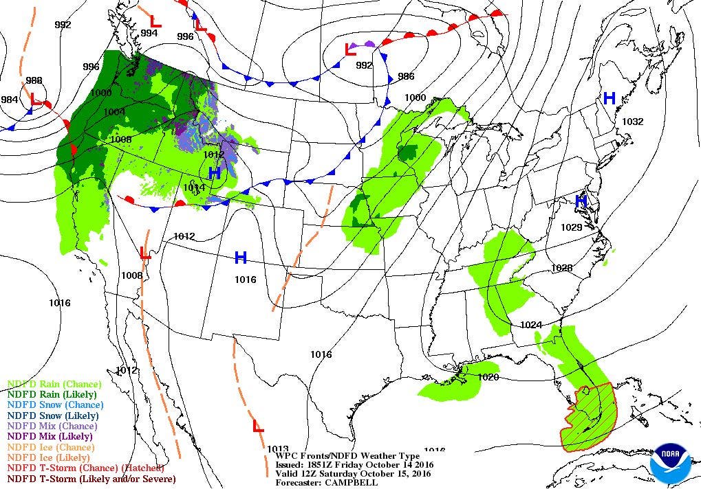
A Frost Advisory is in effect for all of Rhode Island from 2 a.m. to 9 a.m. Saturday morning. Clear skies and light winds will create radiational cooling, where all of the sun’s energy absorbed by the ground today goes back into the atmosphere tonight. Around Providence, temperatures will fall into the upper 30’s. North and west of the capital city will probably see temperatures in the lower to middle 30’s. If you happen to be staying in Massachusetts towns like Brockton, New Bedford, and Taunton, bring your winter coat, as temperatures will fall into the upper 20’s. Temperatures will rebound into the lower 60’s on Saturday, as we remain under sunny skies. With winds turning more to the south Saturday night, the mercury will not fall as much, with lows in Providence falling into the lower 40’s.
Find out what's happening in East Providencefor free with the latest updates from Patch.
On Sunday, a high pressure system over Rhode Island will move off to the southeast. With southwest winds, our dewpoint temperatures will rise, along with the air temperature. Forecast highs for Sunday will reach the lower 70’s within Providence. However, by the late afternoon, we will begin to see increasing clouds, as a cold front pushes through the Mid-Atlantic. This cold front may trigger some scattered showers Sunday night, especially after midnight. With mostly cloudy skies, low temperatures will only fall into the lower 50’s. We will keep scattered showers through Monday morning, with some partial clearing expected by the afternoon. High pressure from the south will help bring drier air back into the Northeast U.S. Look for high temperatures in the upper 60’s, with lower 70’s possible if we see mostly sunny skies by the afternoon. We will keep mostly cloudy skies Monday night, as we keep the southwest to west wind flow. This will allow moisture from the south and west to remain in our atmosphere. Low temperatures Monday night will fall into the lower 50’s.
The computer models begin to disagree with each other as we enter Tuesday morning. The main problem is the location of a low pressure system. The European and United Kingdom models have the center of the low closer to western New York, while the American model has the low much further north. The Canadian model agrees with the American model. So, this is a 2-2 tie between the models. Because all the models do show a slight upper-level ridge over the Northeast U.S., this tells me the surface low will be deflected slightly to the northeast. So, I agree with the American-Canadian solution. We will keep a mix of sun and clouds for Tuesday, with highs reaching the upper 60’s. Despite a new low forming over Quebec, Canada Tuesday night, weak high pressure ridging from the south will keep us dry through Wednesday. The computer models are believing that we might see record high temperatures, forecasting for the upper 70’s. At this time, it seems way too high, especially for middle to late October. I will forecast highs to reach the lower 70’s under mostly sunny skies. Partly cloudy skies is expected Wednesday night with lows in the upper 40’s.
Find out what's happening in East Providencefor free with the latest updates from Patch.
The computer models head back to disagreement as we move into Thursday. A low pressure system will form over the Ohio River Valley Thursday morning, according to the European model. This low will move up into Southern New England Thursday night and next Friday, providing us with showers and rain. The American model has a different solution, as the low develops over the Tennessee River Valley. It keeps the low well south, as a strong high pressure over Ohio moves eastward for Friday. After examining the United Kingdom model, I am more incline to agree with the European. The upper level energy is already over the Pacific Northwest right now, but it will take several days to reach the eastern U.S. So, I will call for mostly cloudy skies by Thursday afternoon, with showers arriving by Thursday evening. We will keep showers and rain in the forecast for Friday. However, due to the fact I am trying to look seven days into the future, my overall confidence in the forecast after Thursday is low. Temperatures will cool back down into the lower to middle 60’s after Thursday.
Tropical Update: Hurricane Nicole battered Bermuda on Thursday, as the eye went directly over the island. Nicole is the strongest hurricane to hit the island in almost 13 years. Although a last second wobble to the east spared Bermuda the hurricane’s strongest winds, wind gusts of 100 mph still went over the island. Bermuda is still dealing with dangerous surf and rip currents at the moment. No other named tropical systems are in the Atlantic, and there are no areas of thunderstorms being watched for possible tropical development.
Jim Laurie is a local meteorologist who earned a B.S. in Meteorology at Lyndon State College in Lyndonville, VT. Jim has fifteen years of professional experience, with eight years in the field of marine meteorology.


