Weather
Rhode Island Trick-Or-Treating Weather: Dry But Cool
The weather looks great, but the kids may need a coat if they stay out too late. Temperatures become above normal by Wednesday.

Weather Forecast Discussion for Rhode Island on October 31, 2016
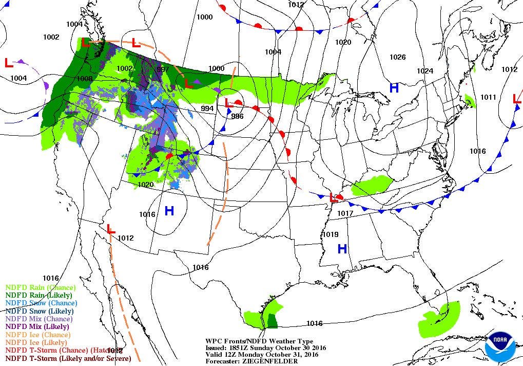
Last night, showers north of the front has moved over Rhode Island, and is bringing widespread precipitation. In fact, about a half inch to three quarters of an inch of rain has fall across the state. We will see drier weather in time for tonight’s ghosts and goblins, with some warmer temperatures by midweek.
Skies will remain sunny through the day, but temperatures will be cool, as highs only reach the lower 50’s. We will also feel some strong wind gusts from the north, which will make it feel colder. The trick-or-treaters will see temperatures in the lower to upper 40’s during peak candy times. But, as the witches fly home after midnight, temperatures will reach the freezing mark under clear skies.
Find out what's happening in East Providencefor free with the latest updates from Patch.
Tuesday will be more of the same, as we remain under the high pressure ridge. We will keep mostly sunny skies, with highs temperatures creeping up into the middle 50’s. However, a quick moving upper-level ridge will help raise our low temperatures into the middle 40’s for Tuesday night. With southwest winds and the ridge, we will see our warmest temperatures of the week on Wednesday. We will have mostly sunny skies, and daytime highs will reach the upper 60’s. Some parts of the state may even hit 70. This is about 10 degrees above normal for the beginning of November. We will begin to see increasing clouds Wednesday night, as a frontal system forms well to the south. Low temperatures will remain mild, as the mercury only falls into the lower 50’s.
By Thursday, the computer models do agree we will see some more rainfall. However, the timing of the rainfall is what the models cannot agree to at this time. Although the low is centered over northern New York, the European model gives us some scattered showers by 8 a.m. The American model keeps the precipitation to our south, and moves it over Rhode Island by about 2 p.m. to 4 p.m. For now, I will take the middle ground, with showers arriving by 10 a.m., with heavier rainfall by the afternoon. Precipitation ends by 4 a.m. Friday morning. High temperatures on Thursday will reach the upper 60’s, before colder air moves in behind the cold front after 2 a.m. Friday. Low temperatures will only fall into the upper 40’s. High pressure ridging from the west will bring mostly sunny skies by Friday morning, but north winds and an upper-level trough digging down into the Northeast U.S. will help lower our high temperatures into the middle 50’s. We will have partly cloudy skies Friday night, with lows in the upper 30’s.
Find out what's happening in East Providencefor free with the latest updates from Patch.
The weekend starts off nice, although the American model does show a quick moving low pressure system coming out of Quebec into the Mid-Atlantic. We might see a quick shower during the afternoon hours. Otherwise, expect partly to mostly sunny skies with highs in the middle 50’s. Low temperatures Saturday night will reach the upper 30’s under partly cloudy skies. By next Sunday, moisture coming off the Boston Harbor may bring isolated showers by the late afternoon. Otherwise, expect partly sunny skies with high temperatures remaining below normal, as we only reach the lower 50’s.
Jim Laurie is a local meteorologist who earned a B.S. in Meteorology at Lyndon State College in Lyndonville, VT. Jim has fifteen years of professional experience, with eight years in the field of marine meteorology.


