Weather
Wet weather expected Wednesday, with hot, humid weather returning Thursday; Showers, thunderstorms expected through weekend
The warm, dry weather will become hot and very humid by Wednesday night. High dewpoints and temperatures will create heat indexes near 100.

Weather Forecast Discussion for Rhode Island on August 10, 2016
The last few days over the Ocean State has been sunny skies, slightly above normal temperatures, and lower humidity. Well, that is going to change as we move past the middle of this week. We will see higher humidity and hot temperatures, along with an increased chance at seeing possible showers, heavy rain, and isolated thunderstorms.
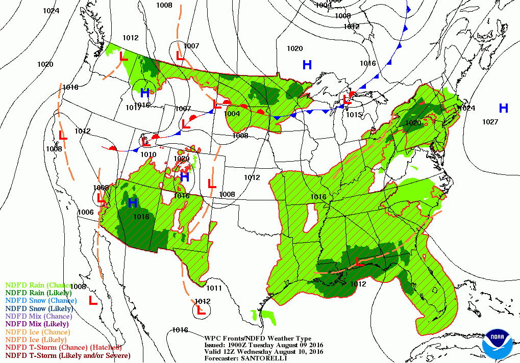
At the moment, an area of high pressure ridging is protecting the state from any precipitation. We will remain clear to partly cloudy tonight, but we will see middle and low level clouds take over the skies by sunrise. Also, the dewpoint temperatures will begin to rise, making the air more humid and muggy. Temperatures this evening will remain in the upper 60’s. As we move through Wednesday, moisture from the south will meet up with a cold front making its way through the Great Lakes. This will create cloudy skies through the morning, with the risk for some showers and thunderstorms after 8 a.m. As the day wears on, the risk for showers, rain, and isolated thunderstorms will increase. Some areas may see localized heavy rainfall, which could create some urban flooding. With the cloudy skies, high temperatures will only reach the lower 80’s inland. But, it will feel oppressive with the humidity. The risk for showers and thunderstorms will continue until 2 a.m., before the front sweeps through Southern New England. However, there will not be much cold air to give us any relief. Low temperatures will only fall into the lower 70’s.
Find out what's happening in East Providencefor free with the latest updates from Patch.
By Thursday, it will feel quite oppressive. We will see partial sunshine, as there will be a lot of moisture in the upper levels of the atmosphere. With dewpoints in the 70’s and high temperatures near 90, the heat index will make it feel like 100-102 degrees. If you have to be outside for work or play, please stay hydrated and find shade if needed to cool down. By late Thursday afternoon, the heat and humidity may help create some pop-up showers, rain, or thunderstorms. A frontal boundary forming over Northern New England will help keep a slight risk for precipitation Thursday night. Low temperatures will almost be like a high temperature, with the mercury staying in the middle 70’s.
The hot weather continues into Friday. However, the risk for showers and thunderstorms increases slightly, as that frontal boundary moves southward. At this point, the computer models are over forecasting the precipitation for Rhode Island. The models cannot handle whether or not the atmosphere will be unstable or not. Right now, I would say we have a slight to fair chance at seeing some pop-up showers and thunderstorms starting by the early afternoon. High temperatures will still reach the lower 90’s even with partial sunshine, with the heat index near 100 degrees. The frontal boundary will be right over Rhode Island by early Saturday morning. I feel this will be the best time to see scattered showers and thunderstorms. Also, we will see patchy fog across much of the state, mostly due to the low temperatures in the middle 70’s being so close to the dewpoint temperatures, which is forecast to be in the lower 70’s.
Find out what's happening in East Providencefor free with the latest updates from Patch.
I feel the worst days of the week will come this weekend. With a low pressure center right over central New York, and a frontal boundary over southern Massachusetts, we will see scattered showers, moderate rain, and isolated thunderstorms through the day. If we do see any sunshine, it will only help enhance the risk for starting up the precipitation. The frontal boundary remains stationary through Saturday night. Please be careful, as some localized areas may see some street and urban flooding. With any sunshine through the day, highs on Saturday will reach the lower 90’s, with lows in the lower 70’s Saturday night. The frontal boundary will move slightly south on Sunday, but we will remain under the risk for showers and thunderstorms through the day. We will see overcast skies for the day, with highs falling into the lower 80’s. Lows Sunday night will be in the upper 60’s.
Unfortunately, this frontal boundary remains stationary. So, we will continue to see a train of scattered showers and thunderstorms throughout Monday. High temperatures will actually cool down into the upper 70’s. By Monday night, the frontal boundary will begin to move out of Southern New England. The chance for scattered showers and thunderstorms will decrease, although they will remain widely isolated. Low temperatures will fall into the middle 60’s. Finally, by next Tuesday, we will see partial sunshine return, but the models are showing a weak disturbance moving over Southern New England by the early afternoon. This disturbance may create some isolated afternoon showers. Expect high temperatures to only reach the upper 70’s.
First Pitch Forecast (for McCoy Stadium, home of the Pawtucket Red Sox):
August 9th vs. Durham (7:05 p.m.): Partly cloudy, 76.
August 10th vs. Durham (7:05 p.m.): Partly sunny, chance of showers/thunderstorms, 84.
August 11th vs. Durham (12:05 p.m.): Partly sunny, chance of showers/thunderstorms after 2 p.m., 86.
Jim Laurie is a local meteorologist who earned a B.S. in Meteorology at Lyndon State College in Lyndonville, VT. Jim has fifteen years of professional experience, with eight years in the field of marine meteorology.


