Weather
RI Snow: Winter Takes One Last Slap At The Region
Rhode Island was hit with a little spring snowstorm. Burrillville was hit the hardest.

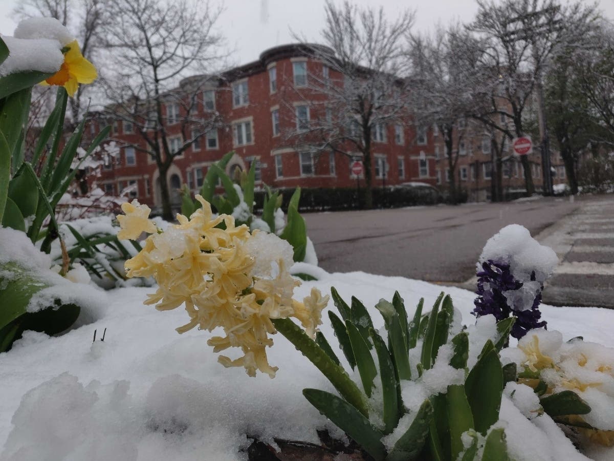
It's been spring for almost a month, but that didn't stop winter from coming back to northern Rhode Island for a little April snowstorm Saturday.
Snow started falling Friday night and is expected to last until around noon. It may turn to rain before that, according to the National Weather Service.
The town with the highest recorded snowfall in the state was Burrillville with 5.5 inches, exceeding yesterday's forecast of 4 inches for cities and towns north of Providence.
Find out what's happening in Newportfor free with the latest updates from Patch.
Other Rhode Island communties that got more than four inches included:
- North Foster, 5.3
- Chepachet, 5
- Pascoag, 4.5
- Glocester, 4.2
Here's a look at the latest Rhode Island forecast from the National Weather Service:
Find out what's happening in Newportfor free with the latest updates from Patch.
Saturday
Rain likely, mainly before 9 a.m. Patchy fog between 9 a.m. and 10 a.m. Otherwise, cloudy, with a high near 45. North wind 8 to 13 mph. Chance of precipitation is 60 percent. New precipitation amounts between a tenth and quarter of an inch possible.
Saturday Night
Mostly cloudy, then gradually becoming mostly clear, with a low around 36. North wind around 6 mph becoming west after midnight.
Sunday
Sunny, with a high near 59. Southwest wind 7 to 17 mph, with gusts as high as 29 mph.
Sunday Night
A slight chance of showers between 1 a.m. and 3 a.m., then a chance of rain after 3 a.m. Mostly cloudy, with a low around 45. Southwest wind 7 to 14 mph. Chance of precipitation is 30 percent.
Monday
A chance of rain before 5 p.m. Mostly cloudy, with a high near 54. West wind 6 to 13 mph becoming northeast in the afternoon. Chance of precipitation is 50 percent.
Monday Night
Partly cloudy, with a low around 38. Northeast wind 5 to 8 mph becoming west after midnight.
Tuesday
Mostly sunny, with a high near 58. Southwest wind 9 to 17 mph.
Tuesday Night
Showers likely, mainly before 9 p.m. Partly cloudy, with a low around 37. West wind around 15 mph. Chance of precipitation is 60 percent.
Get more local news delivered straight to your inbox. Sign up for free Patch newsletters and alerts.