Community Corner
Beryl Bringing Rain, Wind to S.C. Tuesday
Flash flood watch as tropical depression moves through region.


Update, 6 p.m:
Update, 6 a.m.: A flash flood watch is in effect through late Tuesday night/early Wednesday morning, according to the National Weather Service.
Tropical Depression Beryl is expected to bring "torrential rainfall" to the region, with rainfall totals up to 5 inches through early Wednesday, and in excess of 7 inches in some areas.
Find out what's happening in Goose Creekfor free with the latest updates from Patch.
The risk for flash flooding is expected to be enhanced during high tide Tuesday afternoon and early Wednesday morning, particularly in Downtown Charleston.
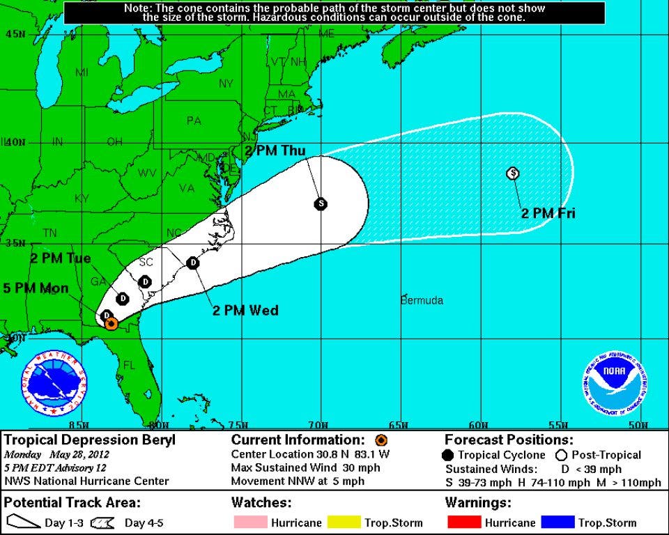
As of 5 a.m., Beryl had moved over the Georgia border, but continues to pour rain on parts of northern Florida. Dangerous rip currents are still possible along the South Carolina coast, according to the National Hurricane Center.
Find out what's happening in Goose Creekfor free with the latest updates from Patch.
Original Report: The National Hurricane Center reports that the real threat with Beryl, now a tropical depression slowing moving over northern Florida, isn't the winds, but the heavy rain — wet weather that's expected to move into South Carolina on Tuesday.
According to the NHC, maximum sustained winds could reach 30 mph as the storm moves through the Palmetto State late Tuesday and into Wednesday morning.
The National Weather Service is predicting heavy rain Tuesday, with showers beginning after 4 a.m. and thunderstorms off and on throughout the day. The skies are expected to begin clearing up around 2 p.m. Wednesday.
Beryl Resources:
Get more local news delivered straight to your inbox. Sign up for free Patch newsletters and alerts.