Traffic & Transit
One Month In, Newly Opened SH 45 Has Austin Traffic Humming Along
After decades of planning, toll road has yielded immediate relief to drivers in Hays and southern Travis counties since it opened June 1.

AUSTIN, TX — It may have escaped your notice, but the SH 45 toll road celebrated its first month of operation in June. And so far, transportation officials are calling it an unmitigated success.
Construction on 45SW Toll officially began in November 2016 and the toll road opened on June 1. The project was built to east congestion through the congested MoPac Boulevard (Loop 1) corridor and loop to outlying communities in Kyle and Buda along with Hays County.
Stretching 3.6 miles, the four-lane road has myriad congestion-relieving attributes:
Find out what's happening in Austinfor free with the latest updates from Patch.
- Widening of the existing eastbound and westbound SH 45 and northbound and southbound MoPac bridges over Danz Creek.
- Four direct connector bridges at the MoPac Interchange.
- Entrances and exits at FM 1626, Bliss Spillar Road, MoPac, and existing SH 45.
- Overpass at Bliss Spillar Road and a bridge over Bear Creek.
"The roadway is saving drivers significant time," Mike Heiligenstein, executive director of the Central Texas Regional Mobile Authority, told Patch during a recent telephone interview. Drivers turned reviewers have lauded the road's construction on social media. "It's less stressful," Heiligenstein added. "There was one person who said she got from downtown Austin to Hays County in 32 minutes to the Ruby Ranch neighborhood."
Motorists painfully aware of Austin's infamous congestion would agree that's pretty good time. Enhanced travel speed is accomplished given the lack of stops or intersections along the east-to-west stretch, enabling drivers to travel between 65 and 70 miles per hour versus the stop-and-go traffic along Interstate 35.
Find out what's happening in Austinfor free with the latest updates from Patch.
The toll road's opening yielded immediate relief to drivers in Hays and southern Travis counties, with average peak travel time savings for drivers using the artery over local routes ranging from 9 to 17 minutes, according to collected data. Average peak travel time savings for drivers who continue to use various local routes ranges from 6 to 7 minutes, officials added.
Total construction cost: $76 million. Cost to travel on SH 45: $1 each direction, or roughly 30 cents per mile. Getting from downtown Austin to Hays County in about half an hour: Priceless.

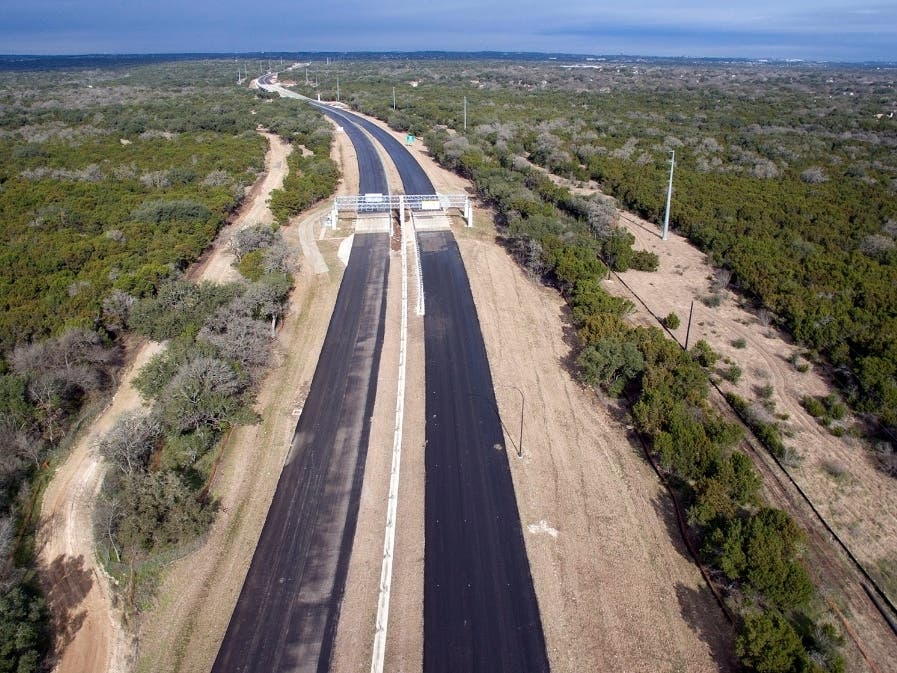
Aerial view of the Mopac interchange, photo courtesy of Central Texas Regional Mobile Authority.
And yet — despite the need and predicted growth patterns — the road was decades in the making. Heiligenstein explained how the road was envisioned in the early 1980s as part of an outer loop for Austin, ringing in the entire city and greater county area. The logistics just to launch it were complex, with a consent decree stipulating it various elements, Heiligenstein added.
But a lack of impetus coupled with a dearth of funding put the brakes on the project. To get it built, the Central Texas Regional Mobile Authority had to get creative. For the first time in its history, the agency concurrently secured funds from two counties — $15 million from Travis and $5 million from Hays — to complement proceeds of a $60 million loan from the Texas Department of Transportation. The project also benefited from a $29 million grant from the Capital Area Metropolitan Planning Organization (CAMPO).
Today, the road sees some 10,000 trips a day, with growth-predicting models showing traffic will have increased by 2035 to 25,000 to 30,000 cars per day, Heiligenstein said. "We are getting very good feedback, particularly on social media," the executive director added with palpable pride.
He also betrays a measure of pride when describing the meticulous manner with which construction took place with attention placed to safeguard the environmentally sensitive area: "We were very careful during construction and what we do going forward," Heiligenstein said. "It's one of the cleanest roads ever built in Texas."
To ensure the project is constructed using the highest standards in environmental protection, the Mobility Authority will be using a combination of structural and non-structural Best Management Practices (BMPs), according to the agency. These BMPs include:
- Permeable Friction Course (PFC) pavement.
- Water quality ponds.
- Vegetated controls such as grassy swales.
- Vegetated filter strips.
- Hazardous materials traps located at all creeks, waterways, and culverted drainage ways.
- In addition, to protect the extensive karst features in the area, 90 percent of the project will be constructed on top of fill and will not require excavation.
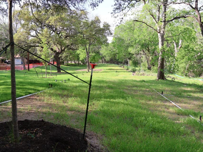
Heiligenstein also spoke cheerfully in describing the vision of making the roads periphery an extension of the Violet Crown Trail system. "Expect to see lots of bicycles and pedestrians," he predicted.
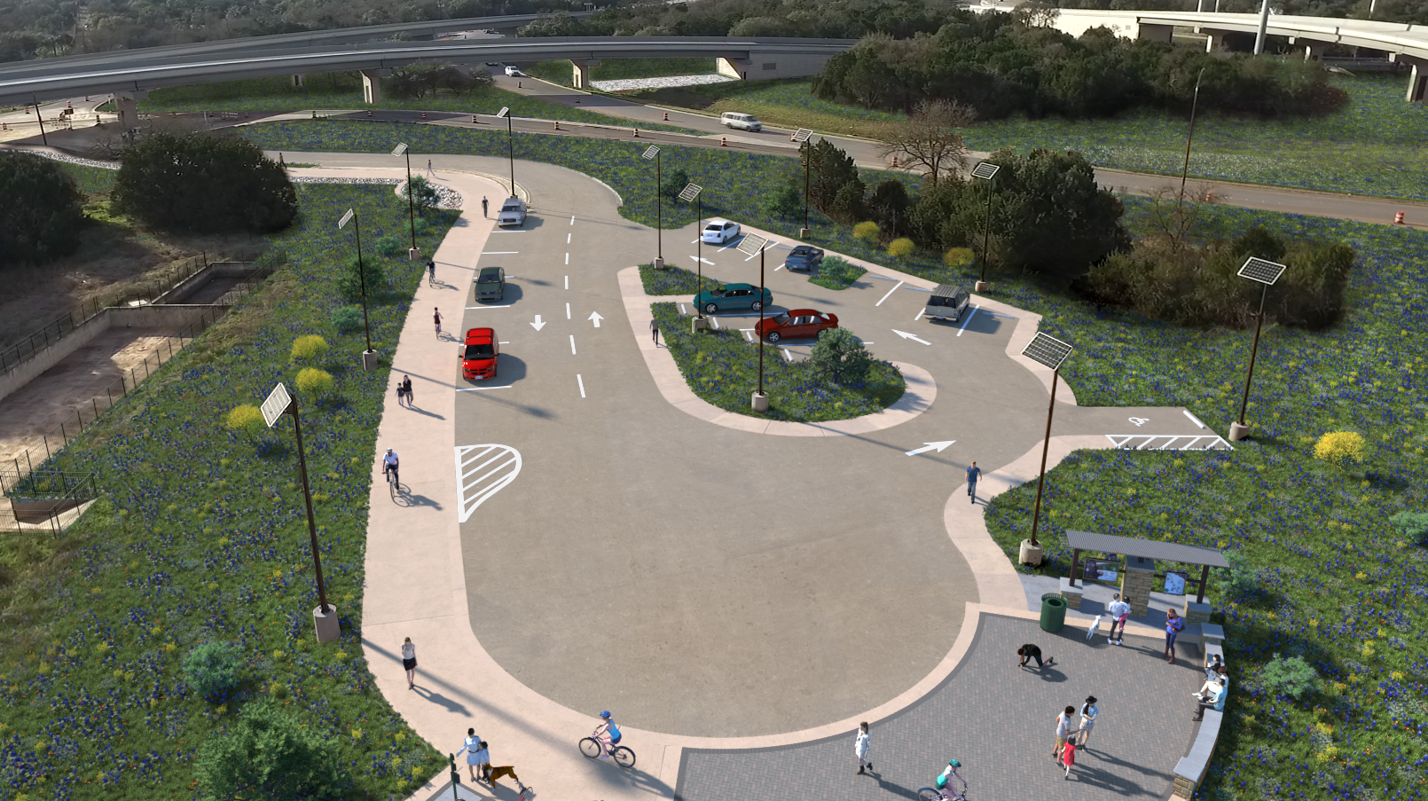
Trailhead at the MoPac interchange image courtesy of Central Texas Regional Mobile Authority.
While traffic appears to be humming along the new road, Central Texas Regional Mobile Authority officials aren't resting on their laurels. The agency has about $870 million worth of projects under construction and another $700 million in advanced stages of planning and development.
@SH45SW has been open one month! We loved hearing how people planned to spend their extra time at 45SW Jubilee. What have you done with the time you save when you #Drive45SW? pic.twitter.com/elthV0K8mv
— SH 45SW (@SH45SW) July 1, 2019
Below are more Central Texas Regional Mobile Authority projects:
- Adding capacity and improving airport access with three new tolled lanes and up to three improved, non-tolled lanes in each direction along an 8-mile stretch of US 183 in east Austin.
- The Central Texas Regional Mobility Authority is building a new tolled expressway with three lanes in each direction on an eight-mile section of US 183 between US 290 and SH 71.
- In addition, the Mobility Authority will be reconstructing and improving the non-tolled US 183 general purpose lanes and adding $25 million worth of pedestrian and bicyclist facilities.
- The total project cost is approximately $743 million and will open in phases between 2019 and 2020, offering greater mobility for all users of the corridor.
- Construction photos can be found here.
- Adding capacity with construction of two variably-priced express lanes in each direction in the existing median along a 9-mile stretch of US 183 in northwest Austin; including connections to adjacent roadways and the MoPac Express Lanes.
- The Central Texas Regional Mobility Authority and the Texas Department of Transportation worked with local partners to study mobility improvements on US 183, thoroughly analyzing a nine-mile section of US 183 between SH 45 North and MoPac to determine the best options for managing congestion, as well as providing a reliable transit route and facilitating reliable emergency response.
- The study led to approval of a plan to add two Express Lanes in each direction along a 9-mile stretch of US 183 between SH 45/RM 620 and MoPac, the addition of a fourth general purpose lane to bring the total number to four in each direction, and Express Lane direct connectors to and from southbound MoPac. The project also includes operational improvements for the transition to MoPac, new shared use path connections, new sidewalks, and cross-street connections for bicycles/pedestrians.
- Based on the current design, the preliminary construction cost estimate is $650 million.
- The 183 North Mobility Project received environment clearance in April 2016. The Mobility Authority is in the process of procuring a design-build contractor for the project. Construction is expected to begin in early 2021.
- Adding capacity and improving airport access with three new tolled lanes and up to three improved, non-tolled lanes in each direction along an 8-mile stretch of US 183 in east Austin.
- The Mobility Authority, in partnership with TxDOT, is constructing three flyovers at the convergence of 290 Toll and SH 130 to link the two roadways together.
- The project cost is $127 million.
- Project maps can be found here.
- Proposal to manage congestion and improve mobility with addition of one to two variably-priced express lanes in each direction along approximately eight miles of MoPac south of downtown between Cesar Chavez and Slaughter Lane.
- The MoPac South project is anticipated to cost between $350 and $400 million. We anticipate adjustments to this figure as additional design activities are conducted.
- Project maps can be found here.
- Proposal for proactive congestion relief in a fast growing area that will enhance mobility by extending the 183A Toll north from Hero Way to north of SH 29. The 6-mile proposed tollway will have up to three lanes in each direction.
- The proposed solution is to Extend the existing 183A from Hero Way to SH 29, adding up to three tolled lanes in each direction along the 6.6-mile stretch. This solution will:
- Provide a reliable, predictable and time-saving option for drivers and emergency vehicles.
- Accommodate community growth and development along and to the north of the corridor.
- Provide an alternative route free of signalized intersections along the corridor.
- Minimize community impacts by working mostly within existing right-of-way.
To see photos about SH 45, click here.
Get more local news delivered straight to your inbox. Sign up for free Patch newsletters and alerts.