Weather
Warming Trend Ahead For Austin Area After Sleet, Rain, Low Temps
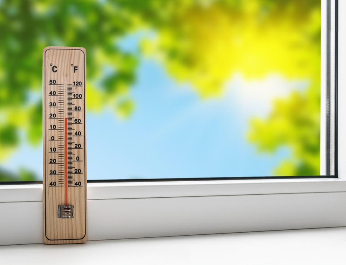
Weekend wintry mix made for hazardous road conditions, but region will warm up this week capped with a high of 73 degrees forecast Thursday.

AUSTIN, TEXAS — Austin can see clearly now, the sleet is gone, but some meteorological obstacles are still in the way. In its forecast for the week ahead, the National Weather Service essentially disabuses residents of their notion that warm weather is on the way.
A wintry mix of sleet and freezing rain amid temperatures in the low 30s made for meteorological misery this weekend, yielding hazardous road conditions resulting in multiple collisions. Bridges and overpasses were particularly perilous, prompting road crews to scramble in sanding them down to mitigate traffic accidents.
Those dangers are largely past. But that doesn't mean the weather will make for conditions ordered from the chamber of commerce either. The chance of showers continues, and it won't be until mid-week that sunny weather returns to the Austin area.
Find out what's happening in Austinfor free with the latest updates from Patch.
In the meantime, the Texas Department of Transportation urges drivers to "drive to conditions." This means to use wipers, engage headlights to ensure visibility and monitor speed. And, it goes without saying: Buckle up.
Folks, this wintry mix is coming down all across the state. Drive to conditions. Wipers and headlights on so others can see you. Watch your speed. Buckle up. #BeSafeDriveSmart #graupel https://t.co/rLnFbgMXnO
— Texas Department of Transportation (@TxDOT) February" class="redactor-linkify-object">https://twitter.com/TxDOT/stat... 8, 2019
Oh, and patchy fog is forecast for Sunday night. It's worth reminding that using high beams in fog — a reflexive move among many motorists — is not advisable, and their use can actually cause more harm than good.
Find out what's happening in Austinfor free with the latest updates from Patch.
How can this be? The powerful light emitted from your high beams is reflected in the fog’s water molecules, Firestone officials report, thus causing a glare. This makes vision even more obscured, Firestone adds. For a primer on driving in fog, click here.
But don't despair, motorists: By Tuesday, we're back to the 60s. And Thursday calls for a high of 73 degrees! What a difference six days makes, 144 little hours.
Related stories:
10-Car Crash In Williamson County Leads To Critical Injuries
Slick Roads Lead To Multi-Vehicle Collision In Round Rock
Here's the forecast, courtesy of the National Weather Service:
- Sunday night: A 30 percent chance of rain, mainly after midnight. Patchy fog. Otherwise, cloudy, with a low around 49. Calm wind becoming south around 5 miles per hour.
- Monday: A slight chance of rain, then a chance of showers and thunderstorms after 2pm. Areas of fog before noon. Otherwise, cloudy, with a high near 66. South southwest wind 5 to 10 miles per hour. Chance of precipitation is 40 percent.
- Monday night: A 20 percent chance of showers before midnight. Cloudy during the early evening, then gradual clearing, with a low around 45. South southwest wind 10 to 15 miles per hour becoming north northwest after midnight.
- Tuesday: Sunny, with a high near 63. North wind 10 to 15 miles per hour.
- Tuesday night: Mostly clear, with a low around 38. North northeast wind around 5 miles per hour, becoming calm in the evening.
- Wednesday: Mostly sunny, with a high near 64. South wind 5 to 10 miles per hour.
- Wednesday night: Mostly cloudy, with a low around 52. South wind around 10 miles per hour.
- Thursday: Partly sunny, with a high near 73. South southwest wind 10 to 15 miles per hour, with gusts as high as 20 miles per hour.
- Thursday night: Partly cloudy, with a low around 55.
- Friday: Mostly sunny, with a high near 66.
- Friday night: Mostly clear, with a low around 39.
- Saturday: Mostly sunny, with a high near 59.
Get Patch's Daily Newsletters and Real Time Alerts
>>> Image via Shutterstock
Get more local news delivered straight to your inbox. Sign up for free Patch newsletters and alerts.


