Politics & Government
Data Hub Provides Window Into Reston Transportation Planning
Fairfax County recently rolled out the Reston Transportation Data Hub, an online tool designed to make planning information more accessible.

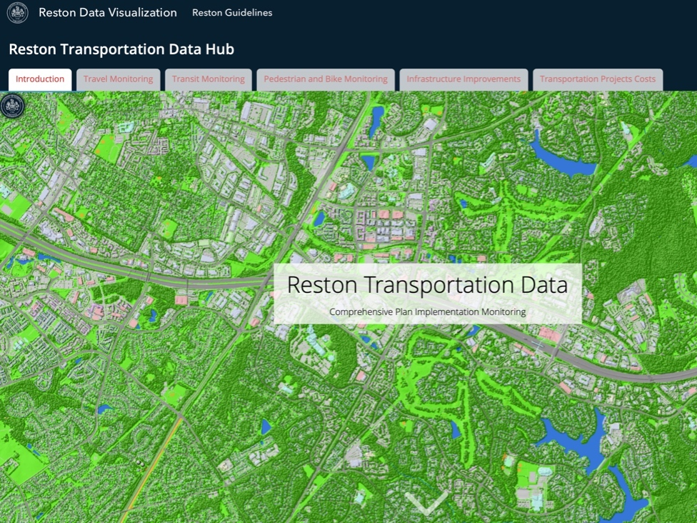
RESTON, VA — Land-use wonks and members of the general public have been able to take a deep dive into the data surrounding many of the transportation issues that will be impacting Reston in the coming years. This is all thanks to Fairfax County's new Reston Transportation Data Hub, which debuted near the end of January.
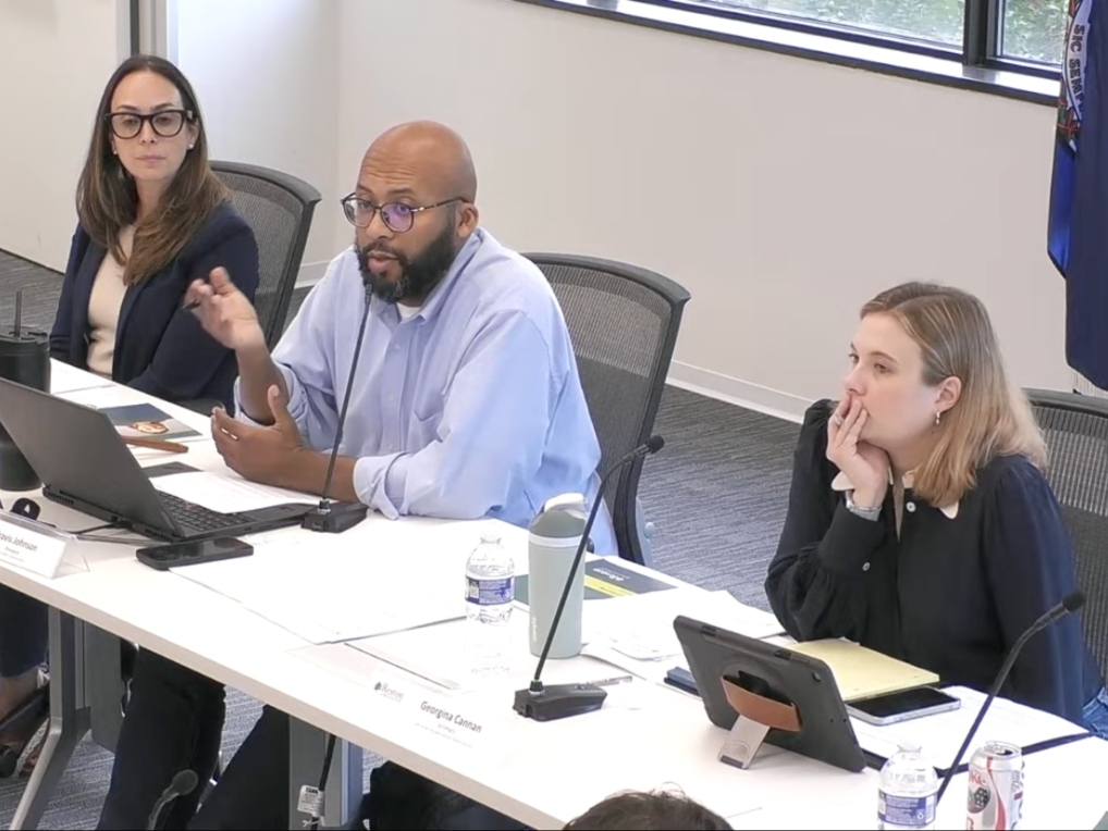
"Over the years, there have been a number of efforts to make data public and make it accessible," Hunter Mill District Supervisor Walter Alcorn said. "As a matter of fact, I've chaired two separate initiatives over the last 25 years about, in particular, land-use information and making sure that is public."
Suzianne Battista, section chief for the Urban Centers Section of the Fairfax County Department of Planning and Development, explained the database is designed to allow the public to interact with the data so that they have a greater understanding of it.
Find out what's happening in Restonfor free with the latest updates from Patch.
"Rather than having static maps or components that are not as easily accessible, especially during a pandemic," she said. "It's hard to come to the county and get a map of something, So, really providing that ability to do it from your home and you can zoom in, you can really dive into it."
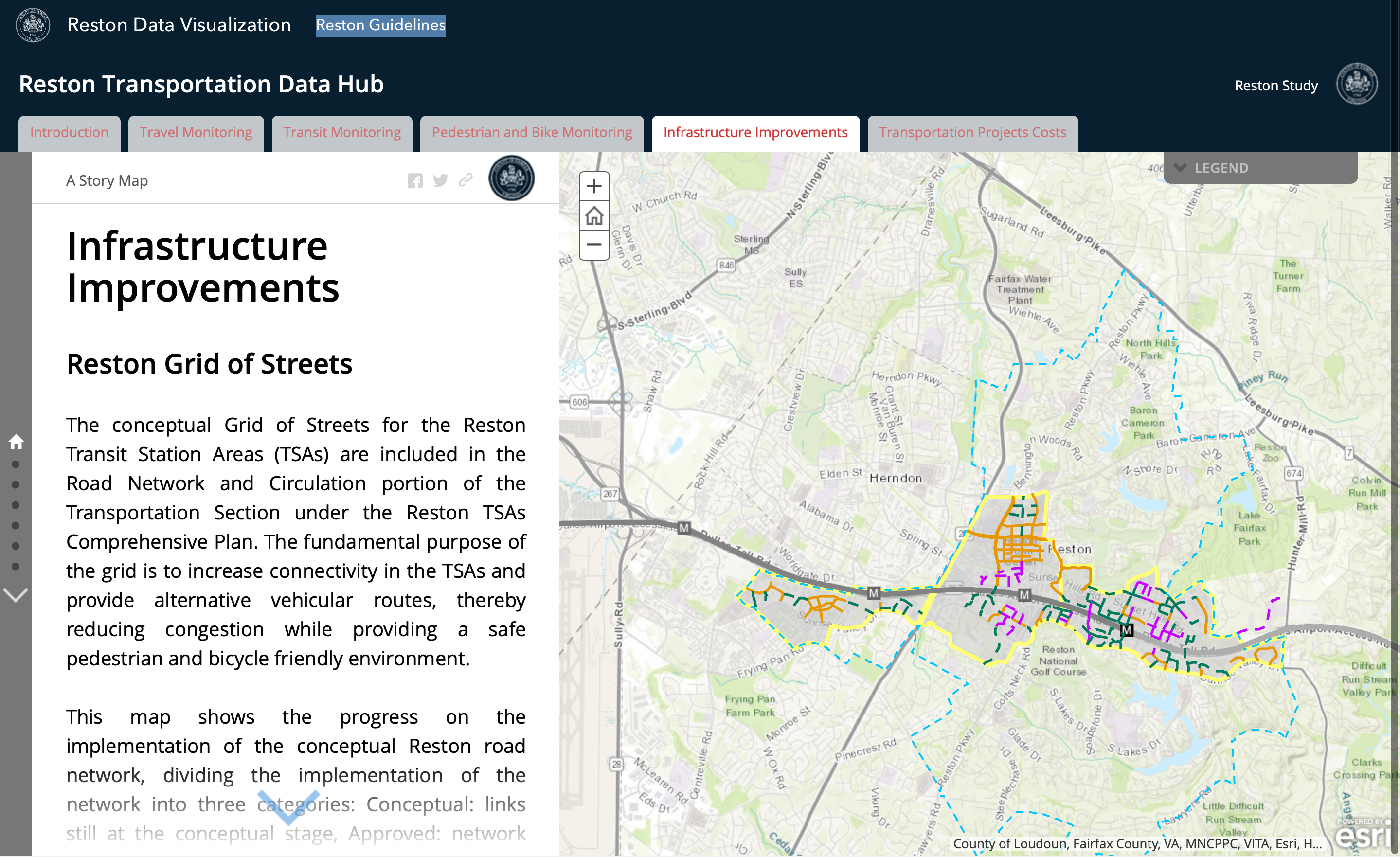
The data hub presents information on a variety of Reston transportation topics, including peak vehicle traffic around Reston's transit stations, neighborhood connectivity via the Fairfax Connector bus service, pedestrian and bicycling access through the area, infrastructure improvements, and transportation project costs.
Find out what's happening in Restonfor free with the latest updates from Patch.
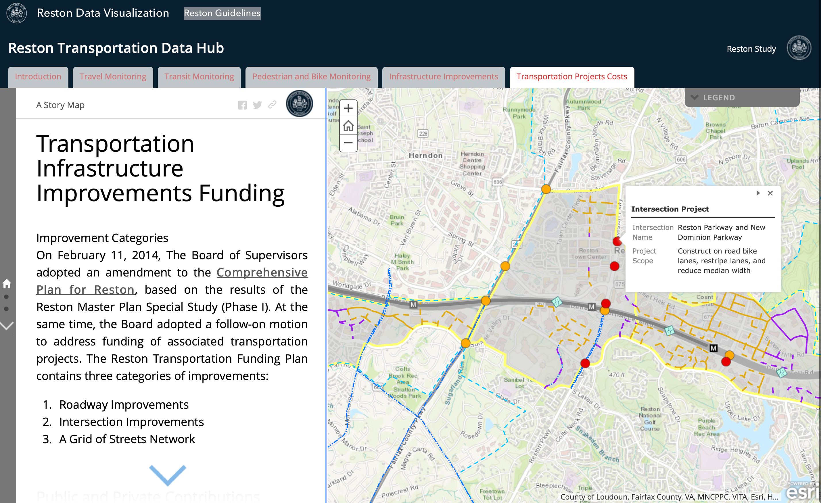
All of this data is laid out on interactive maps, which draw on data from the county, local jurisdictions, mapping companies, and ESRI, as part of the community maps program.
The data hub is the first of its kind in this format for Fairfax County. It's also expandable, so the county will be able add more information as it becomes available.
"This transportation component is just one part of what we're looking to build out," Battista said. "There will be other components, such as more detailed land-use data and parks data. Those are just two of the examples of things that we are working on for the next part of the release for this dashboard."
Data in the first component was collected by the Fairfax County Department of Transportation (FCDOT). The Fairfax County Department of Planning and Development (FCDPD) is collecting the data for the second component, in consultation with other groups, such as land development services that manage site plans and similar data.
"It's kind of a collective of different agencies that come together to create this interface," Battista said. "That's one of the really great things about it. Instead of having our siloed data sets, this will really allow us to bring it all together and present it in a way that you can layer and see how different parts and pieces come together, such as the grid of streets versus a land-use development component."
After collecting the data in November 2019, FCDOT worked with FCDPD to develop the interface that would support the presentation they envisioned.
"It took a lot of time to build the platform, so to speak, and then make sure we were presenting the data in a way that was clear," Battista said. "Using graphics to convey information is different than just using words, so making sure that we were balancing the text component with the graphic and that everything was really working together, so that it was very clear to people."
Another consideration was to remove all the transportation jargon and distill it down into language that was easily understandable for the average user.
"We didn't want to use a lot of jargon," Battista said. "Because if you say 'level of service' or you say 'coordinate point,' most people aren't going to know what a coordinate point is. I didn't know and I've been in planning for almost 20 years."
One thing to keep in mind when using the transportation data hub is that the COVID-19 pandemic may have skewed some of the numbers. For example, the data about peak vehicle traffic may not reflect actual traffic numbers during rush hour in a non-pandemic year.
How the public uses and receives the data hub will help inform the county on future data presentations.
"We're going to be learning and getting feedback from people who are using it and that will help direct the next steps of this system, as it rolls out for other parts of the county and other topics besides just transportation," Alcorn said.
The Reston Comprehensive Plan is currently being updated and one of the missions of the data hub is to allow the public to monitor the progress of the plan going forward.
"There are periods between plan updates where we have Comprehensive Plan monitoring," Alcorn said. "This is a really good example of monitoring that involves the public, that provides the opportunity for residents to look at the data and see how things are working or not."
The data hub is also a useful tool for county staff and land-use decision makers.
"Instead of taking anecdotal information or things that you might hear, but actually being able to validate concerns or be able to explain why certain things are happening via the data, it can allow us to inform changes that we might want to make to the plan or other county policies," Battista said. "It's really intended to inform those decisions by being accessible, so that people can really interact with it and see how things are progressing."
Get more local news delivered straight to your inbox. Sign up for free Patch newsletters and alerts.