Weather
Flood Watch For Western Washington Through Thanksgiving
Warm air and lots of rain will create possible flood conditions this week, according to the National Weather Service.

SUMNER, WA - The National Weather Service has issued a flood watch for all of Western Washington. The watch begins Tuesday afternoon and doesn't end until Thursday afternoon.
In addition to rain, a mass of warm tropical air will move into the region this week. That will raise snow levels in the mountains, which means more rain will drain through the region's rivers.
Here's more on the flood watch from the National Weather Service:
Find out what's happening in Bonney Lake-Sumnerfor free with the latest updates from Patch.
A warm front and the plume of subtropical moisture with it will bring 2 to 5.5 inches of rain to the Olympics and Mount Rainier today and tonight, and 1 to 4 inches of rain to the Cascades north of Mount Rainier. The snow level will be near 8000 feet. A second frontal system will bring another 1 to 4 inches on Wednesday night and Thursday, with the snow level falling from 7000 feet to 4000 feet as the system moves through.
The two systems in close succession presents a threat of flooding on rivers in Western Washington. Flooding could begin tonight or Wednesday. It looks like the threat is for a relatively minor flooding episode.
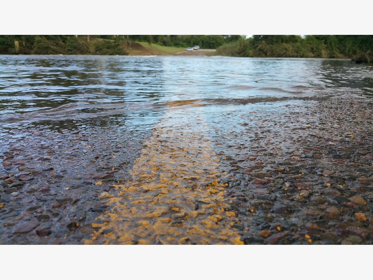
Models show several rivers cresting near or just above flood stage including the Skokomish, Cowlitz, Nisqually, White, Snoqualmie, Stillaguamish, Skagit, and Nooksack. However, this doesn`t mean that the possibility of flooding is limited to these rivers.
Image via Pixabay
Get more local news delivered straight to your inbox. Sign up for free Patch newsletters and alerts.