Weather
Snowstorm Today: 5 Key Forecast Details
South Puget Sound may see snow earlier, which may hamper the evening rush hour.

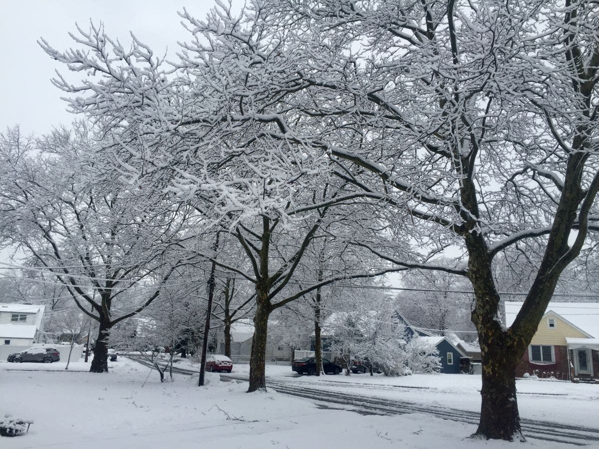
PUYALLUP, WA - Most local forecasts are pointing to some kind of Thursday-evening snowstorm for the Puget Sound area with accumulations between 1 and 6 inches, depending on where you live. The south part of Puget Sound near Olympia will see snow first, the Hood Canal area could see up to 6 inches of snow, and areas in the Cascade foothills might not see much snow at all due to dry winds.
Because forecasts have shifted so much over the week, we've assembled five key points to help you plan your day.
- Timing. The snow could start hitting southern parts of Pierce County around 2 p.m., which means the storm could disrupt school, work, and the evening commute. Some schools in Thurston County are already issuing early dismissals.
- Rain. The storm should switch over to rain at some point overnight Thursday into Friday. This turnover may help clear some snow before Friday morning.
- More Snow. That turnover to rain will determine how much snow we get. Forecasts are uncertain about precisely when the change will happen. Essentially, the longer it takes to turn to rain, the more snow we'll get.
- Wind. This storm may bring some serious winds. Areas east of Seattle got a dose of high winds on Wednesday night. Places like North Bend and Enumclaw could see more high winds Thursday night.
- Freezing Rain. There may be isolated pockets of freezing rain, particularly in south Puget Sound and along the I-90 corridor.
For more detailed forecasts, check the National Weather Service page for the Puget Sound area.
Find out what's happening in Puyallupfor free with the latest updates from Patch.
Image via Patch.com
Get more local news delivered straight to your inbox. Sign up for free Patch newsletters and alerts.