Weather
Coldest Puget Sound Winter In 32 Years, Wettest February Since 1961: NWS
This winter has been the coldest since 1985, the snowiest since 2009, and the rainiest since 1961.

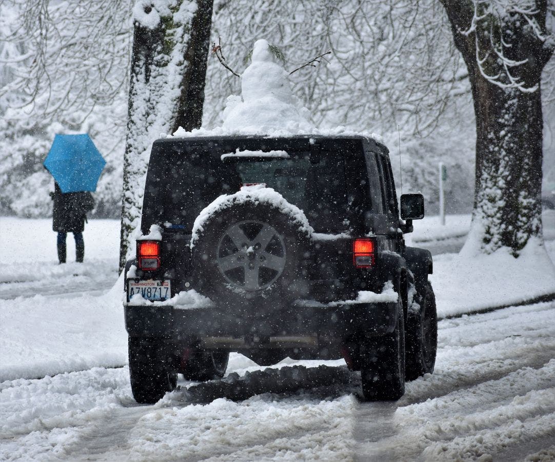
RENTON, WA - When we look back on the winter of 2016-17 (which is not over yet, FYI), we'll think of these three words: cold, snowy, and wet.
This winter has been a record-setter in a number of ways, according to National Weather Service data. First, it's important to note that the Puget Sound area has had more snow between January and February than the Twin Cities area in Minnesota (o.2 inches).
That's right, more snow than Minnesota.
Find out what's happening in Rentonfor free with the latest updates from Patch.
That's not all: the average temperature this winter has been 39 degrees, more than 2 degrees below normal, and the coldest average temperature since the winter of 1984 and 1985 (for context: Microsoft released the first version of Windows in 1984). We've had 58 days where the temperature has been 35 degrees or lower, and only 14 days where temperatures have been in excess of 50 degrees.
Now for the precipitation: 11.2 inches of snow has fallen this winter, the most since 2009. We normally get just under 5 inches in the lowland areas during an entire winter. As far as rain, February was the second-wettest February on record, and the wettest since 1961. Nearly 17 inches of rain has fallen on the Puget Sound area this winter alone, and slightly more than half of that fell in February.
Find out what's happening in Rentonfor free with the latest updates from Patch.
The coldest winter season since 1985 in the #Seattle area - snowiest since 2009. #wawx #wasnow pic.twitter.com/VBHHNuBJGp
— NWS Seattle (@NWSSeattle) March 1, 2017
What do we have to look forward to? The seven-day forecast calls for rain, rain, rain, and then maybe snow.
Image via Patch.com
Get more local news delivered straight to your inbox. Sign up for free Patch newsletters and alerts.