Weather
Spring Could Be Unusually Cold In Puget Sound: Forecast
Welcome to spring, which the National Weather Service is predicting to be colder than usual.

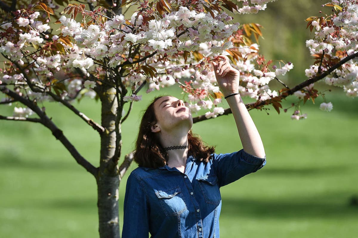
SEATTLE, WA - The sun is shining, the cherry blossoms are blooming, and the Mariners home opener is only a week away. But don't get too carried away with spring - the National Weather Service long-term forecast is predicting cooler-than-usual temperatures over the next month.
For the first official day of spring Tuesday, temperatures are set to hit the high 50s. But temperatures will drop over the next five days into the mid-40s. Over the next month, according to the NWS, there's about a 40 percent chance that temperatures will remain below normal. The longer range forecast over the next three months, however, shows temperatures remaining normal.
Luckily, rain totals should remain at normal levels in Puget Sound, according to the long-range forecast.
Find out what's happening in Seattlefor free with the latest updates from Patch.
Here's a look at the forecast for the first five days of spring, according to the NWS:
Tuesday: Mostly sunny, with a high near 56. Calm wind becoming west northwest around 5 mph in the afternoon.
Find out what's happening in Seattlefor free with the latest updates from Patch.
Tuesday Night: Mostly cloudy, with a low around 39. North wind around 6 mph becoming light and variable in the evening.
Wednesday: A 20 percent chance of rain after 11am. Partly sunny, with a high near 57. Light and variable wind becoming south southwest around 6 mph in the afternoon.
Wednesday Night: Rain likely. Cloudy, with a low around 43. South southeast wind 6 to 11 mph becoming southwest in the evening. Chance of precipitation is 70%. New precipitation amounts between a tenth and quarter of an inch possible.
Thursday: Showers likely. Cloudy, with a high near 48. South southwest wind 8 to 11 mph. Chance of precipitation is 70%. New precipitation amounts between a tenth and quarter of an inch possible.
Thursday Night: A 50 percent chance of showers. Mostly cloudy, with a low around 38.
Friday: A 40 percent chance of showers and thunderstorms. Some of the storms could produce small hail. Mostly cloudy, with a high near 47.
Friday Night: A chance of showers. Mostly cloudy, with a low around 36.
Saturday: Rain and snow showers likely, becoming all rain after 11am. Mostly cloudy, with a high near 47.
Saturday Night: A chance of showers. Mostly cloudy, with a low around 37.
Photo via Getty Images
Get more local news delivered straight to your inbox. Sign up for free Patch newsletters and alerts.
