Weather
A Cooler Week Ahead, But Fire Danger Persists: Forecast
We'll get a break this week from excessive heat and fire danger, but not right away.

SEATTLE, WA - We're headed for a cool-down, but it's going to happen gradually.
Highs will get into the low 90s for much of the region (slightly hotter for the south sound) on Monday. A red flag warning covering the entirety of the Cascades, especially for elevations about 1,500 feet, lasts until 11 p.m. Monday.
We get cooler on Tuesday - a high of 84 - and then stay under 80 for the rest of the week.
Find out what's happening in Seattlefor free with the latest updates from Patch.
More details from the National Weather Service:
Monday: Sunny, with a high near 93. Southwest wind 5 to 11 mph.
Find out what's happening in Seattlefor free with the latest updates from Patch.
Monday Night: Increasing clouds, with a low around 61. Light and variable wind becoming southwest 8 to 13 mph in the evening.
Tuesday: Mostly cloudy, then gradually becoming sunny, with a high near 84. Southwest wind 8 to 13 mph.
Tuesday Night: Mostly cloudy, with a low around 58. Light west southwest wind becoming south southwest 8 to 13 mph in the evening.
Wednesday: Partly sunny, with a high near 78.
Wednesday Night: Partly cloudy, with a low around 57.
Thursday: Mostly cloudy, with a high near 75.
Thursday Night: Mostly cloudy, with a low around 58.
Friday: Partly sunny, with a high near 74.
Friday Night: Mostly cloudy, with a low around 58.
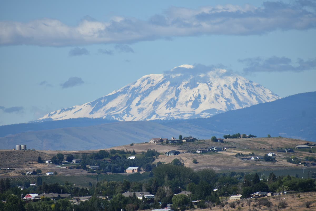
Image via Shutterstock
Get more local news delivered straight to your inbox. Sign up for free Patch newsletters and alerts.
