Weather
First Puget Sound Forecast Of 2018 A Mixed Bag
Rain, freezing fog, sun, and plenty of clouds await Puget Sound residents in the first week of 2018.

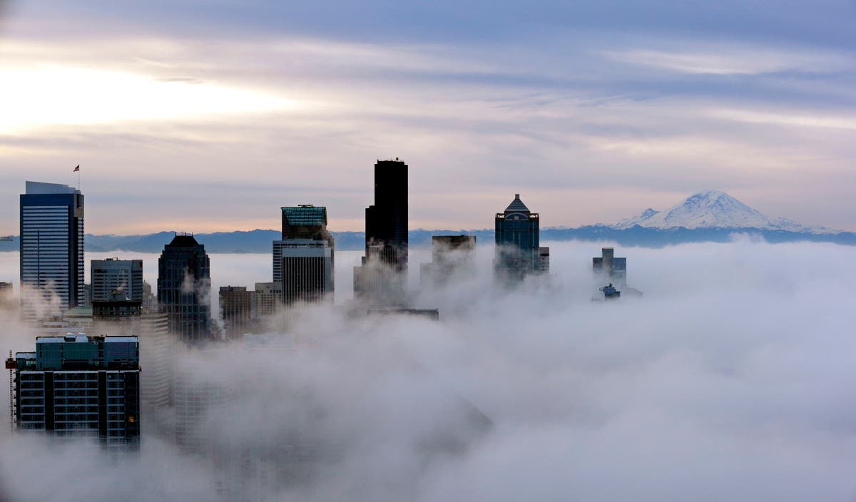
SEATTLE, WA - It's 2018, but this week's weather is going to remind you of 2017. That's because the trend of freezing morning fog will continue, and we'll be back to rain by the end of the week.
Tuesday morning will be chilly, according to forecasts, with a chance of freezing fog. The fog should clear, making way for sun through Wednesday night. By Friday, there's a good chance the rain will return.
"Expect another cold and locally foggy night. Lows [Monday] will be in the upper 20s to mid 30s. Areas of fog or freezing fog are possible tonight into Tuesday morning. Visibility may be reduced to a quarter mile or less at times. Localized icy spots are also possible. Exercise caution when driving in reduced visibility and on slick roads!" according to the National Weather Service.
Find out what's happening in Seattlefor free with the latest updates from Patch.
Here's the week-ahead forecast for Puget Sound from the NWS:
Tuesday: Partly sunny, with a high near 44. North northeast wind 3 to 7 mph.
Find out what's happening in Seattlefor free with the latest updates from Patch.
Tuesday Night: Mostly cloudy, with a low around 37. North wind 5 to 7 mph.
Wednesday: Partly sunny, with a high near 46. North northeast wind around 7 mph.
Wednesday Night: Mostly cloudy, with a low around 38. Northeast wind around 6 mph becoming calm in the evening.
Thursday: A 20 percent chance of rain. Mostly cloudy, with a high near 48.
Thursday Night: A 50 percent chance of rain. Cloudy, with a low around 40.
Friday: Rain likely. Cloudy, with a high near 48.
Friday Night: Rain likely. Cloudy, with a low around 40.
Photo by Elaine Thompson/Associated Press
Get more local news delivered straight to your inbox. Sign up for free Patch newsletters and alerts.
