Weather
More Snow Coming To Seattle Area, Forecasts Show
See the latest snow forecasts for the rest of the week, school closures for Tuesday, and Patch readers' snow photos.


SEATTLE, WA - From West Seattle to Redmond, Lake Forest Park to Maple Valley, Monday's snowstorm dropped plenty of snow on the Seattle area. And there might be more on the way, according to the latest forecasts.
Snow could return to the area as soon as Wednesday night, and snow stays in the forecast in some from then until next Monday. On top of the possibility of snow, temperatures will drop into the low 20s in many areas overnight Tuesday and Wednesday.
The chance of snow ranges from 30 to 40 percent for the Seattle area for the rest of the week, but, as we saw with Monday's storm, early forecasts can be wrong in both directions.
Find out what's happening in Seattlefor free with the latest updates from Patch.
Monday's storm largely took the region by surprise. Forecasts on Sunday morning showed a maximum of 4 inches falling south of Everett, and meteorologists thought even that was a long-shot. Some areas saw accumulations well north of 7 inches, including Bellevue, Redmond, Sammamish, and North Bend.
The snow caused a major mess during both Monday commutes. Meanwhile, snow that melted during the day was re-freezing due to frigid temperatures in the 20s across the region. SR 900 between Issaquah and Renton was closed during rush hour Monday evening due to black ice.
Find out what's happening in Seattlefor free with the latest updates from Patch.
WSDOT warned drivers to proceed slowly Monday night and Tuesday morning due to slick conditions. Other agencies, like King County Metro, warned that the snow will likely continue to impact travel into Tuesday.
"Our crews will be treating roads all night. Emergency responders will be helping at crashes/stalls. We need your help by slowing down on icy/slick roads," WSDOT wrote on Twitter.
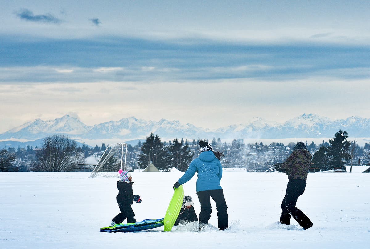
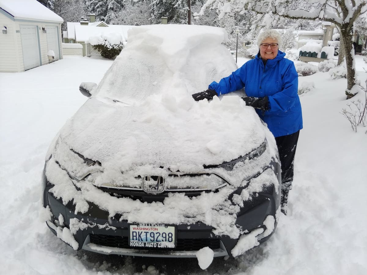
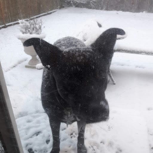
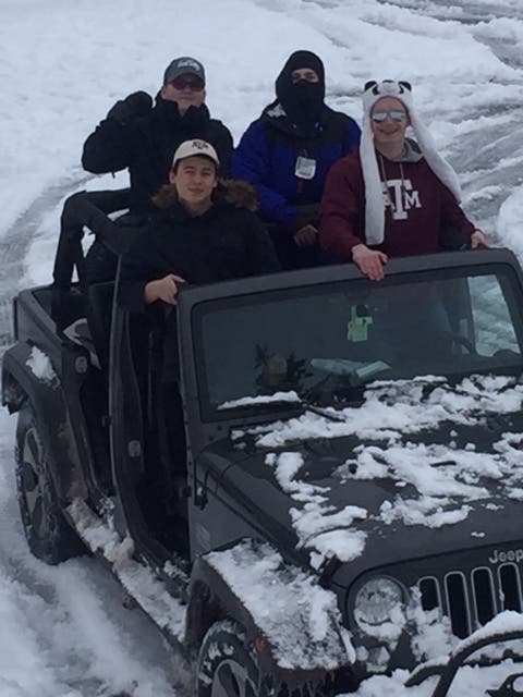
The storm forced school districts, government offices, and businesses to close or delay opening on Monday. Many Seattle area residents (and their dogs) used the surprise snow day to have some fun.
Check out these photos from Monday's storm sent by Patch readers:

School closing in the Seattle area for Tuesday, Feb. 5 (many districts changed from a 2-hour delay to a full closure overnight Tuesday)
- Seattle - Closed
- Bellevue- Closed
- Renton - Closed
- Lake Washington School District - Closed
- Issaquah - Closed
- Northshore School District - Closed
- Shoreline - Closed
- Mercer Island - Closed
- University of Washington, Seattle - Closed
Here are some snow totals as of 6 p.m. Monday from the National Weather Service:
- Echo Lake, Woodinville - 9-1/2 inches
- Bellevue (Main and 149th Ave) - 7 inches
- Redmond (NE 143rd Street) - 9 inches
- Sand Point, Seattle - 6-1/2 inches
- Mercer Island High School - 6 inches
- Capitol hill, Seattle - 6 inches
- Mt. Baker Tunnel, Seattle - 5-1/2 inches
- Downtown Issaquah - 5 inches
- Saint Edward State Park - 5 inches
- SeaTac Airport - 3 inches
- Federal Way - 1-1/2 inches
Photos by Neal McNamara/Patch
Get more local news delivered straight to your inbox. Sign up for free Patch newsletters and alerts.