Weather
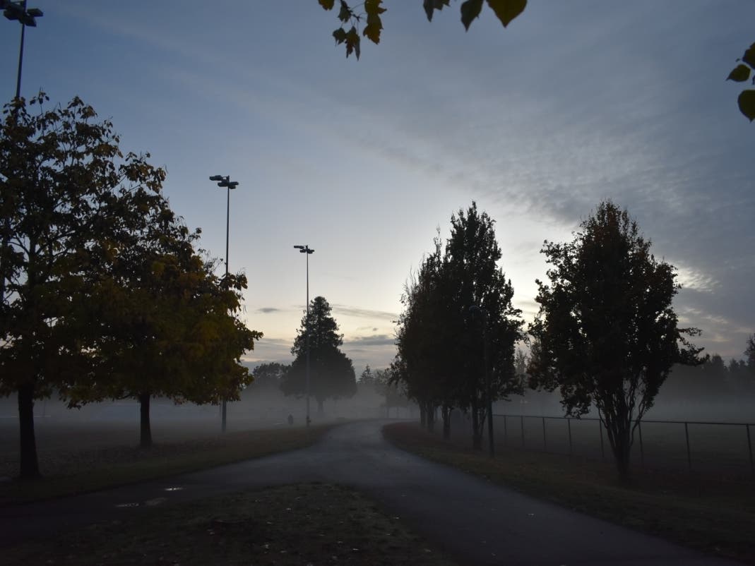
Get Ready For Warm, Wet Autumn In Puget Sound
See what the National Weather Service long-range forecasts have in store for the fall season in Puget Sound.

SEATTLE, WA — The first real post-Labor Day rains of 2019 are set to hit Puget Sound beginning on Monday. But does that mean we're in for an early fall?
According to recent National Weather Service 30-day long-range forecasts, autumn could be pretty warm and about normal in terms of rain.
The long-range forecast released Aug. 31 sees a 60 to 70 percent chance of above-average temperatures locally, but a normal amount of precipitation. That means about 1-1/2 inches of rain in September, and over 3 inches by the end of October.
Find out what's happening in Seattlefor free with the latest updates from Patch.
An even longer-range forecast looking at the next three months shows a less than 50 percent chance of above-average temperatures. Precipitation should be at normal levels during that time, too.
Now, what about that Pacific Ocean "blob" that everyone has been talking about this week?
Find out what's happening in Seattlefor free with the latest updates from Patch.
Between 2014 and 2015, a giant mass of warm water — a marine heat wave — moved across the Pacific Ocean, harming sea life and pushing temperatures in Puget Sound above normal in winter and summer. But it's hard to tell with the new blob will do.
“It looks bad, but it could also go away pretty quickly if the unusually persistent weather patterns that caused it to change,” said NOAA research scientist Nate Mantua says.
In the meantime, get ready for some fall-like weather. There will be an 80 percent chance of showers on Monday with temperatures reaching just 70 degrees.
Get more local news delivered straight to your inbox. Sign up for free Patch newsletters and alerts.
