Weather
Hot And Hazy Weather Expected By Thursday In Western Washington
The latest forecasts include the potential for a short bout of smoke to arrive just as temperatures heat up across Puget Sound.

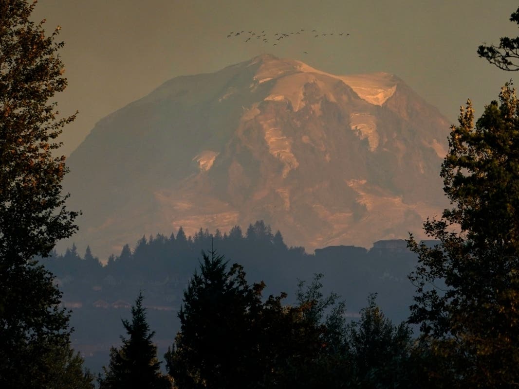
SEATTLE — Early predictions for hot and smoky weather ahead are holding steady in the latest forecasts, with a hazy heat streak expected to arrive late this week. A shift in wind patterns is now likely closer to Thursday, potentially aligning the arrival of wildfire smoke over Puget Sound with two of Western Washington's hottest days since late June.
So far, forecasters expect most of the smoke will stay aloft, limiting more significant impacts for air on the ground. Initially expected a little earlier in the week, current air quality forecasts show the potential for "moderate" impacts on Thursday and Friday in King, Pierce, Snohomish and Kitsap counties. For those living closer to the Cascades, increased ozone from the heat streak may degrade air quality into the "unhealthy for sensitive groups" range.
While unwelcome, the Puget Sound Clean Air Agency said Monday that the haze should be relatively short-lived.
"By [Thursday], the winds may shift and we may get smoke from central WA fires," the agency wrote. "However, strong westerly winds are predicted to return by the weekend, hopefully clearing out any smoke."
Quiet (and clean!) start to the week in air quality. The smoke will worsen mid-week in E. WA. Some potential for smoke in W. WA later in the week. Keep an eye on https://t.co/z1NIX2bQeg for updates. pic.twitter.com/cslTdyQ7i0
— WA Department of Ecology (@EcologyWA) August 9, 2021
As for temperatures, an excessive heat watch will be in effect for most of Washington between Wednesday afternoon and Saturday evening, and forecasters still expect Thursday and Friday will be the hottest in the stretch.
"Temperatures will peak on Friday, the warmest day of the heatwave, but only a degree or two warmer [than] Thursday (but still very hot nonetheless)," NWS Seattle wrote Monday. "Most areas of the interior will see the 90s, with mid to upper 90s in the Seattle metro, too. A few spots may see highs near 100."
Big time warm up still on track for Western Washington. Highs peaking in the 90s Thursday & Friday with low 100s possible in the warmest locations. Seattle record high Thursday 96° (1977), Friday 92° (2002). With offshore flow Thursday even coast will see 80s & lower 90s. #wawx pic.twitter.com/5hHwRbqkzn
— NWS Seattle (@NWSSeattle) August 9, 2021
Though not as extreme as the historic heat seen at the end of June, forecasters said there's still room for more records to fall by week's end.
Another round of hot weather coming up for Seattle this week. Here are some yearly hot weather records for Seattle. Number of days 100°+, 2021 3, record 3 (2021). Number of days 95°+, 2021 3, record 4 (1977). Number of days 90°+, 2021 5, record 12 (2015). #wawx
— NWS Seattle (@NWSSeattle) August 9, 2021
The National Weather Service and air quality experts will continue to share updates on the heat wave and the potential for wildfire smoke as the forecast firms up in the coming days.
Smoke and air quality resources:
Get more local news delivered straight to your inbox. Sign up for free Patch newsletters and alerts.
