Weather
La Niña Winter Odds Are Improving Heading Into Fall
While the official winter predictions are a month out, odds are increasing for a cooler, wetter pattern emerging in the Pacific Northwest.

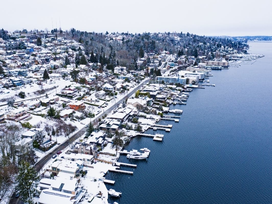
SEATTLE — Early signals for a cooler, wetter winter in the Pacific Northwest appear to be gaining steam as autumn nears, with federal climatologists seeing increasing odds that La Niña will emerge in the coming weeks and stick around through January.
Back in July, NOAA's Climate Prediction Center issued a La Niña watch, placing 55 percent odds of El Niño's colder cousin could arrive sometime between September and November. In updated projections shared Thursday, forecasters said there is now a 70 to 80 percent chance for another La Niña winter.
La Niña typically means warmer and drier winters in the southern U.S., while they are wetter and cooler in the Pacific Northwest and Canada. For Washington, strong La Niña years tend to bring more snow and precipitation, like last winter when mountain snowpack landed well above average and Seattle saw one of its snowiest days in decades.
Find out what's happening in Seattlefor free with the latest updates from Patch.
.png)
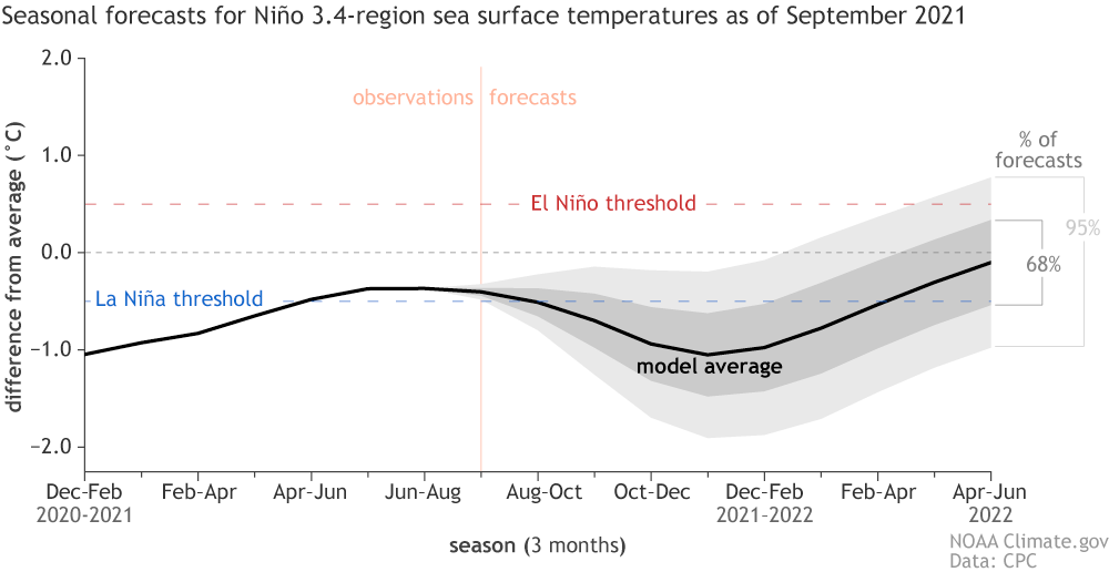
"Because we are so close to La Niña right now, it's looking more probably that La Niña will lock in by this winter," wrote Emily Becker, a NOAA research scientist. "Besides the historical tendency for second-year La Niña's, many climate models are predicting La Niña to develop shortly, though they somewhat differ on whether an event will begin this coming month or in October."
Another unknown is how strong the La Niña might be, though current projections are leaning toward the weaker end, forecasters said.
Find out what's happening in Seattlefor free with the latest updates from Patch.
"As far as strength goes, the most likely scenario is a weak La Niña, with the peak Niño-3.4 anomaly between -0.5° C and -0.9° C, though there is a roughly 1 in 3 chance it will be stronger," Becker wrote. "Along with the climate model predictions, most of which are around this range, physical indicators of a strong La Niña (peak Niño-3.4 Index cooler than -1.5° C) like a very large amount of cooler-than-average water under the surface of the tropical Pacific, are lacking, so there’s a less than 10% chance of that happening."
More firm projections on what lies ahead are expected in a few weeks, including the Climate Prediction Center's annual winter weather outlook, due in October. In the near term, NOAA's 10-day outlook shows a good chance for above-average rainfall and below-average temperatures on tap between Wednesday, Sept. 15 and Sept. 19.
Get more local news delivered straight to your inbox. Sign up for free Patch newsletters and alerts.