Weather
Lowland Flurries Possible This Week: Puget Sound Forecast
A few snowflakes are in the cards to kick off February, with temperatures on track to dip below freezing Tuesday night. Here's what to know.

SEATTLE — As temperatures tumble a few digits and snow levels dip below 1,000 feet, a light dusting could be possible at times through Thursday in the lowlands, according to the National Weather Service.
The latest shift arrives as snow tapers off in the mountains, where Snoqualmie and Stevens passes were forecast to see up to a foot of new snow by late Monday afternoon. The first shot at a rain/snow mix should arrive in lower elevations Tuesday before overnight lows dip just under freezing around Seattle.
Unlike the snowstorm of late December, forecasters said any lowland accumulations are likely to be under an inch. While it will be a little colder, daytime temperatures will keep well above freezing and should rebound into the mid-40s by Thursday.
Find out what's happening in Seattlefor free with the latest updates from Patch.
"Snow levels remain low (near sea level) and there's a threat of a rain/snow mix across the lowlands with spotty light accumulations possible," NWS Seattle wrote Monday. "Wednesday morning will be cold (in the 20s) with another shot of rain/snow mix in the afternoon and evening. Again, snow levels remain low, but widespread accumulations across the lowlands are not expected."
Here is the five-day weather outlook for the Seattle area:
Find out what's happening in Seattlefor free with the latest updates from Patch.
- Tuesday: 41°/30° (Chance of rain/snow)
- Wednesday: 39°/35° (Slight chance of snow)
- Thursday: 45°/37° (AM rain, then mostly cloudy)
- Friday: 46°/38° (Rain likely)
- Saturday: 47/36° (Partly sunny)
The best odds for picking up an inch will be in Whatcom County, followed by northern portions of the Olympic Peninsula, forecasters said. Thursday should offer a break in the weather before rain returns Friday morning.
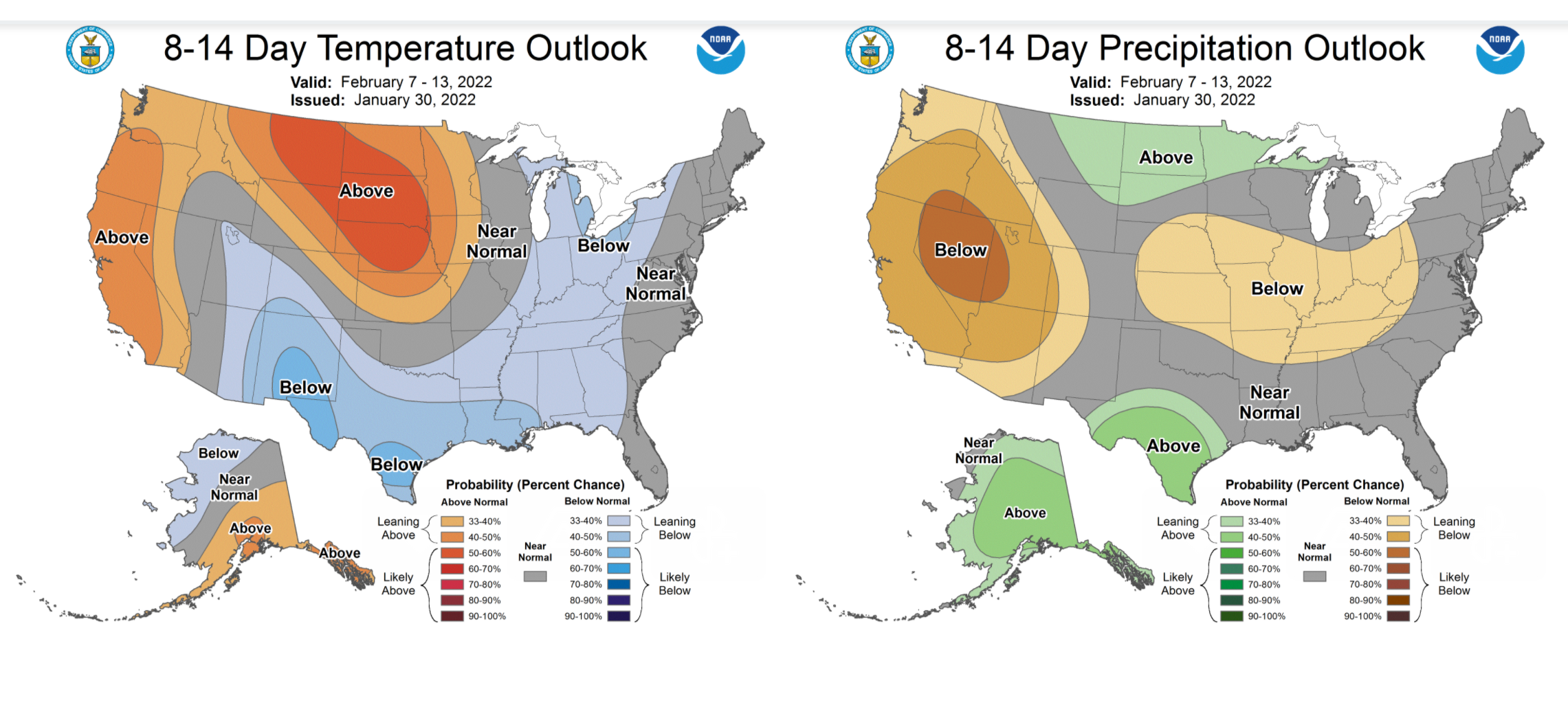
Looking further ahead, the latest climate outlooks are leaning toward a warmer and drier stretch for Washington and other Western states between Feb. 7 and Feb. 13, followed by a cooler wetter pattern emerging around mid-month.
Get more local news delivered straight to your inbox. Sign up for free Patch newsletters and alerts.
